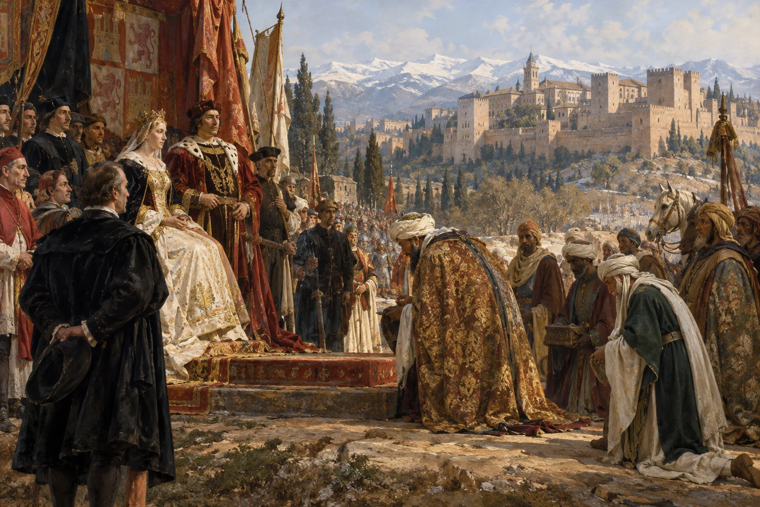
The Surrender of Granada — Francisco Pradilla, 1882. Later historical painting; public domain.
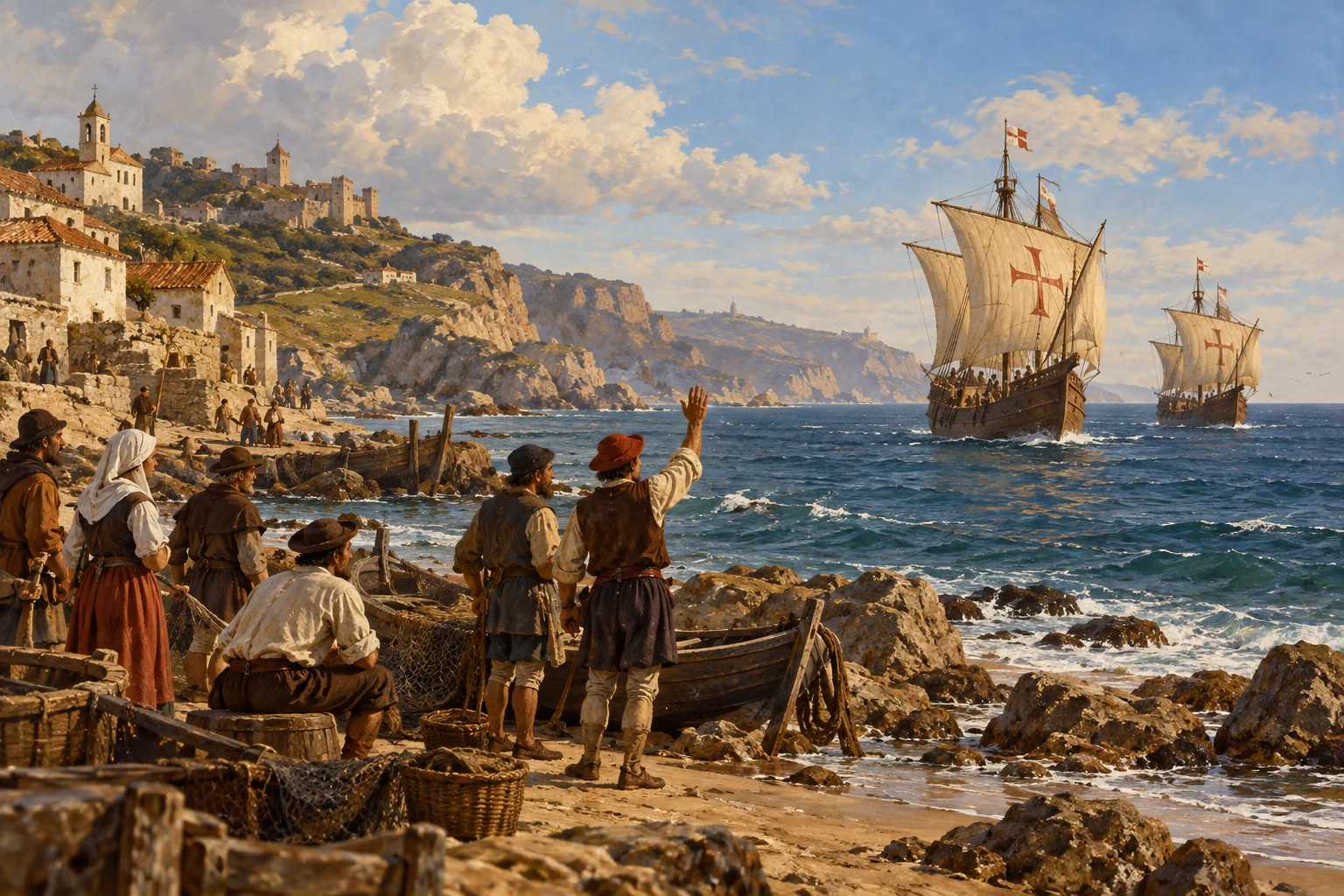
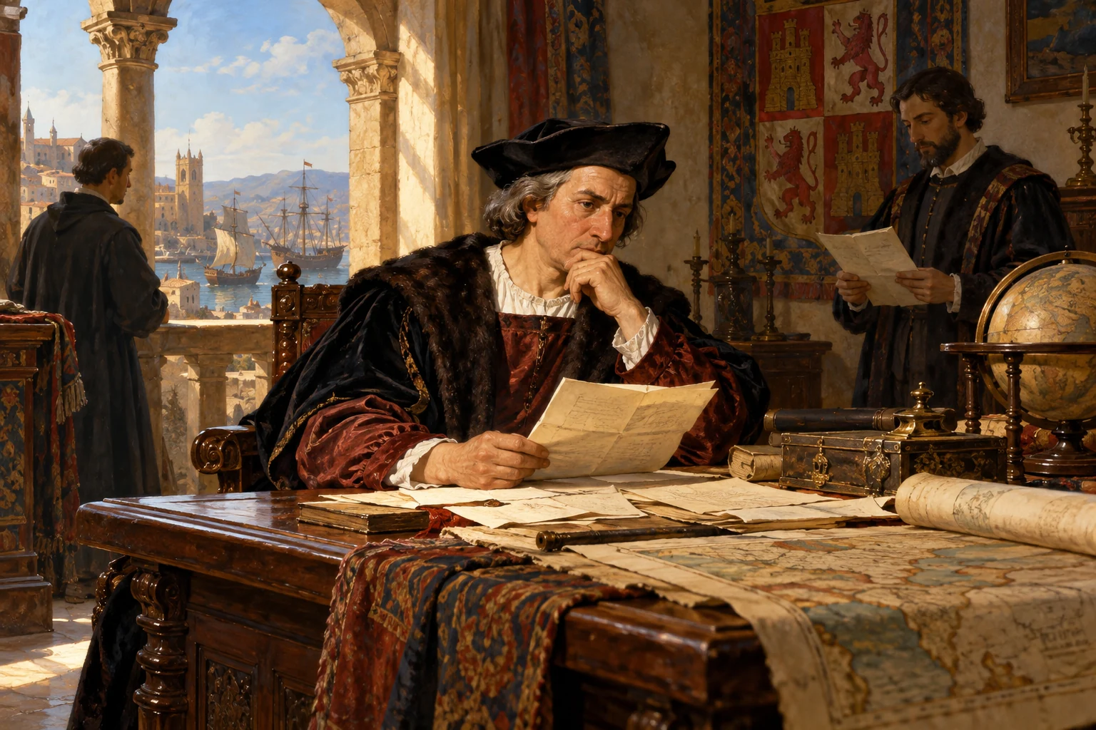
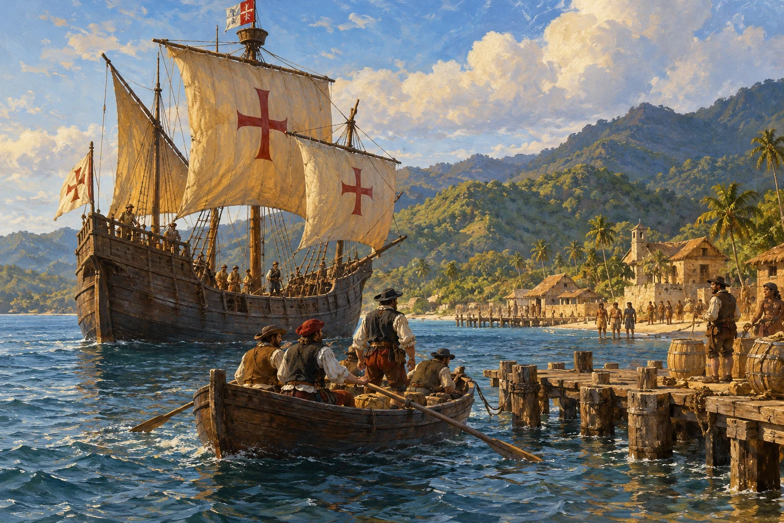
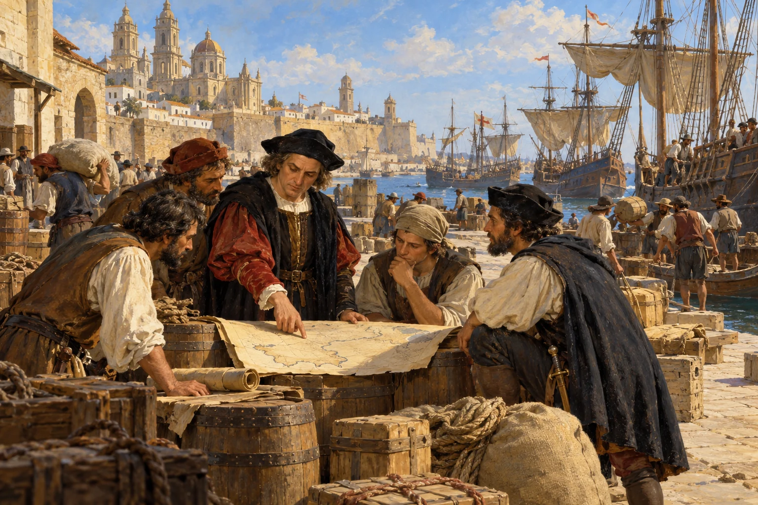
Christopher Columbus is a Genoese navigator seeking a westward sea route from Europe to Asia. His four Atlantic voyages, beginning in 1492, will connect Europe with Caribbean societies and help open an era of colonisation, conquest and profound change. Indigenous peoples already live throughout the Americas; this is not an arrival in an empty world. Our story begins in southern Spain, where Columbus is seeking support from Ferdinand and Isabella while the Granada War draws towards its end.
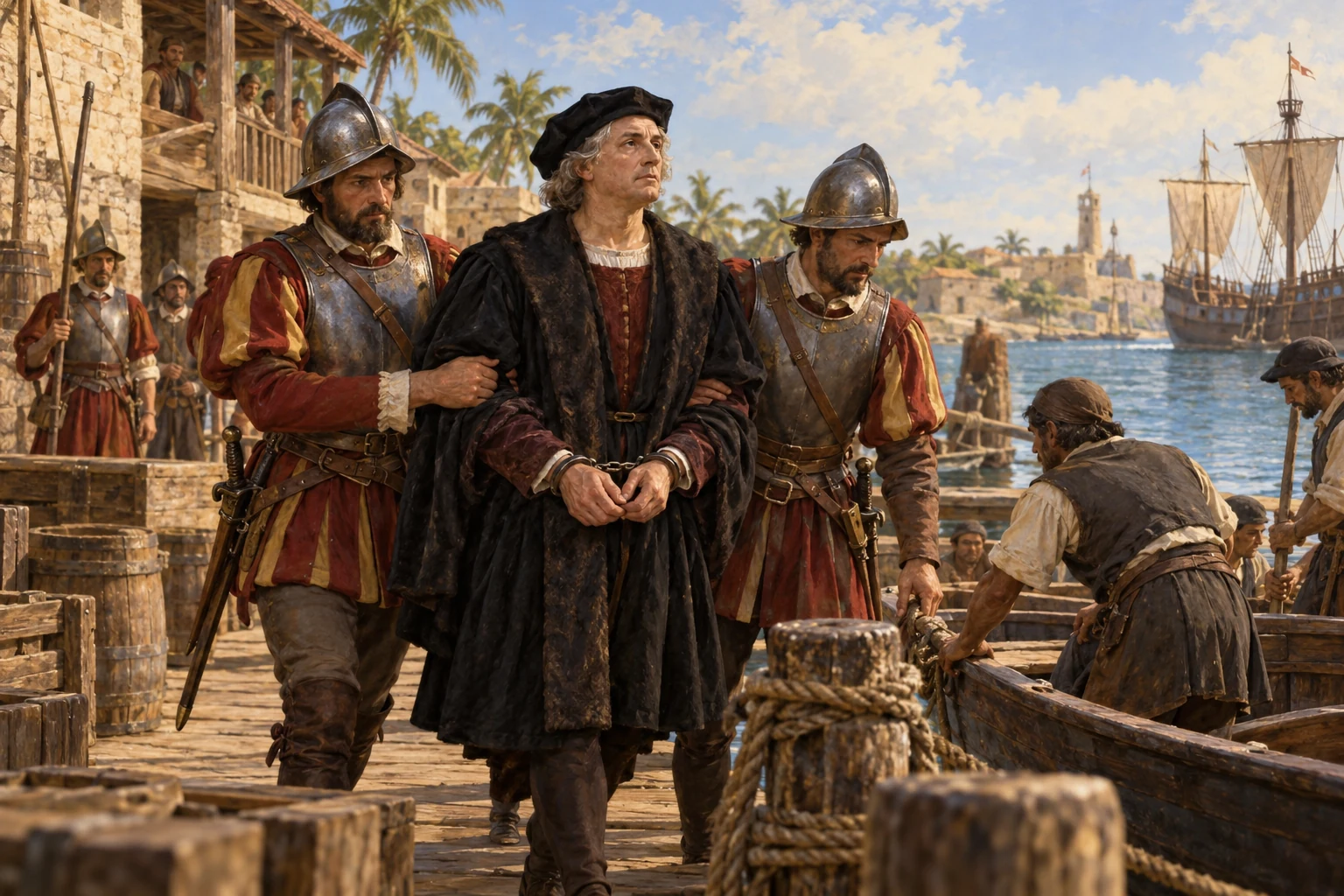
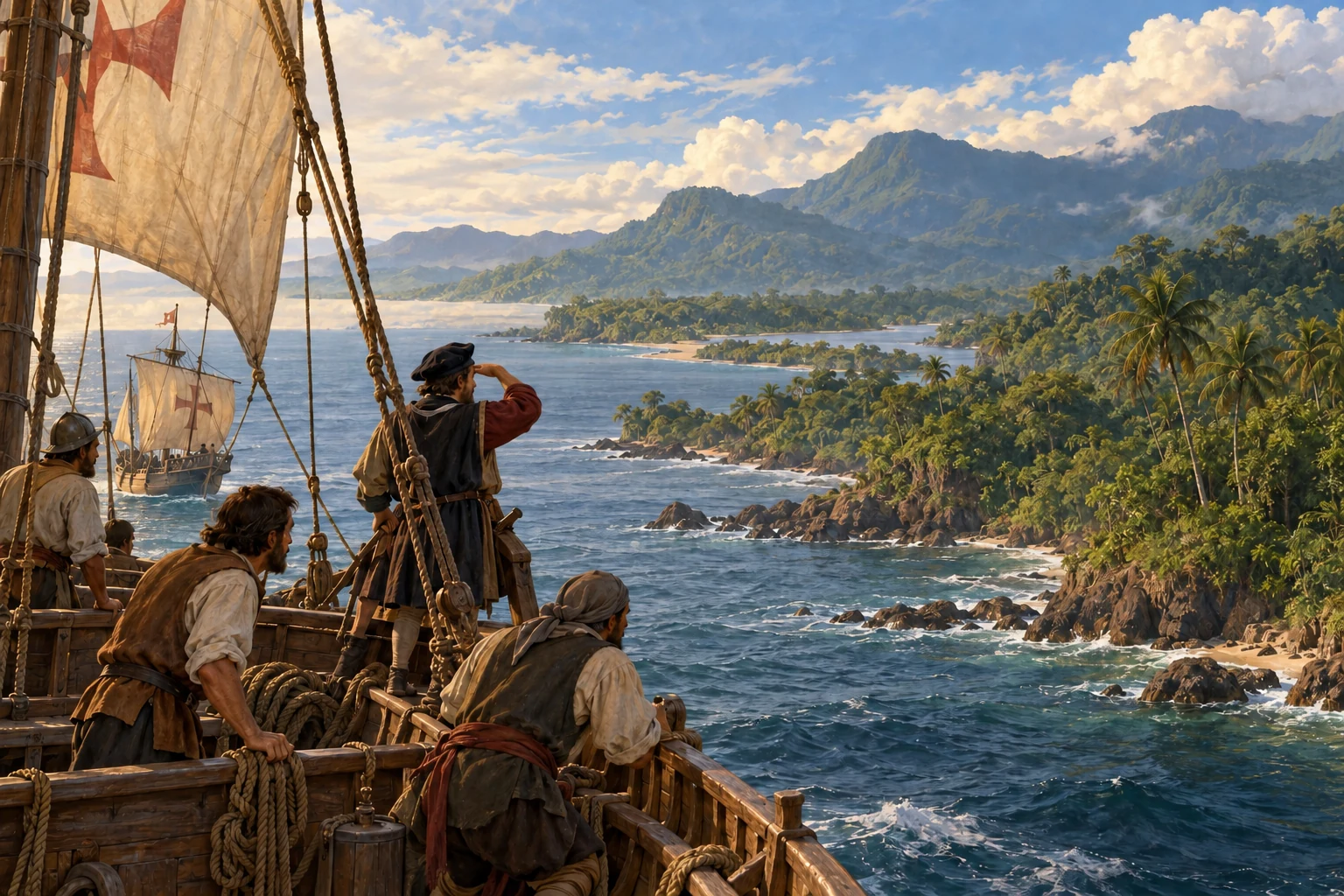
AI-generated reconstruction for Histlas, 2026. People, ships and settings are illustrative, not eyewitness records or exact likenesses.
On the second of January, Granada surrenders to Ferdinand and Isabella. The Granada War is over. This concludes the conquest of the last Muslim kingdom in Iberia, often treated as the final episode of the Reconquista. For Columbus, the timing matters: the monarchs can now return to his proposal. Their fortified camp at nearby Santa Fe becomes the setting for negotiations over his westward voyage.
Historical dates and route context
The war and siege stay visible as historical context throughout this narrated surrender scene, then clear when the story moves to the April agreement. Campaign areas are schematic.
Columbus Before the Queen — Emanuel Leutze, 1843, Brooklyn Museum. Later artistic interpretation, not a record of the Santa Fe agreement; public domain.
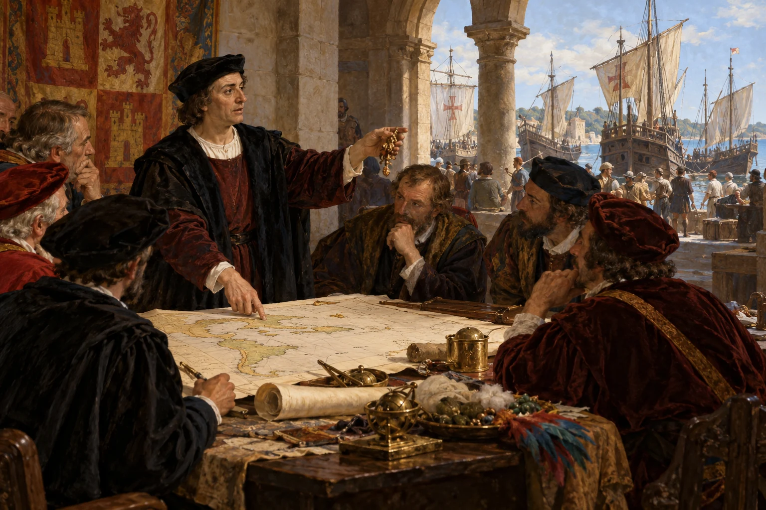
At Santa Fe, the fortified town built during the siege of Granada, Columbus reaches an agreement with the monarchs on the seventeenth of April. The war has ended, but their ambitions for expansion continue. If he succeeds, he will receive powerful titles and a share of the wealth from the lands he reaches. Political power and personal fortune are at stake, as well as a route to Asia.
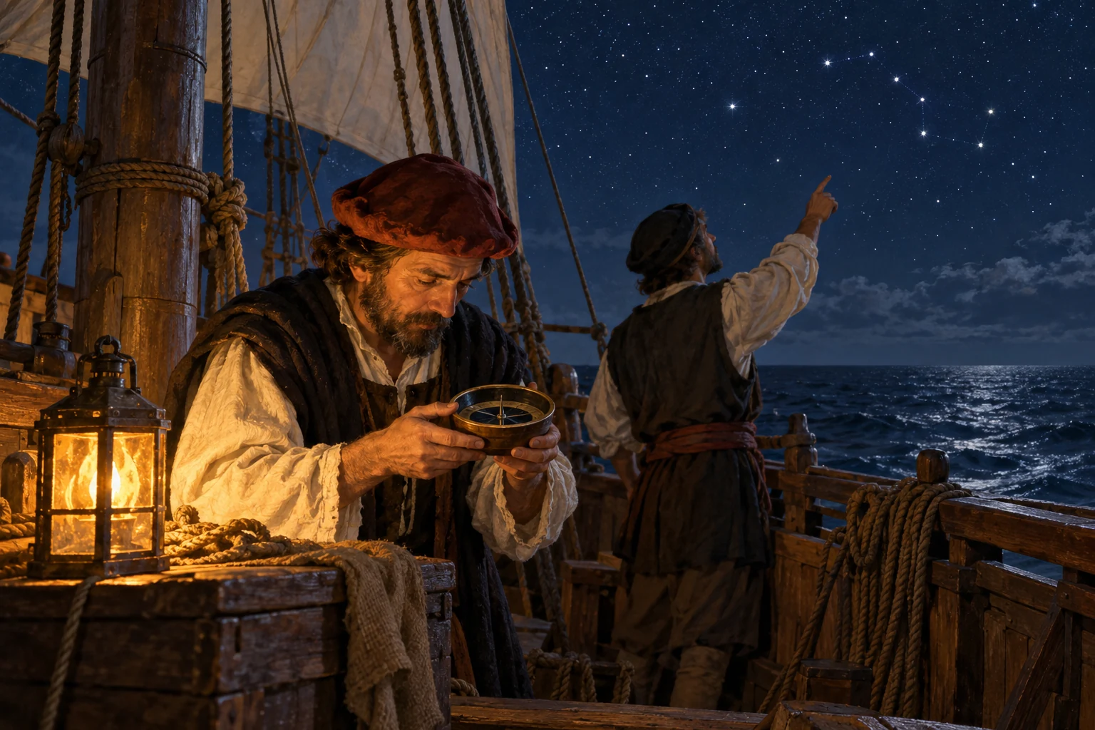
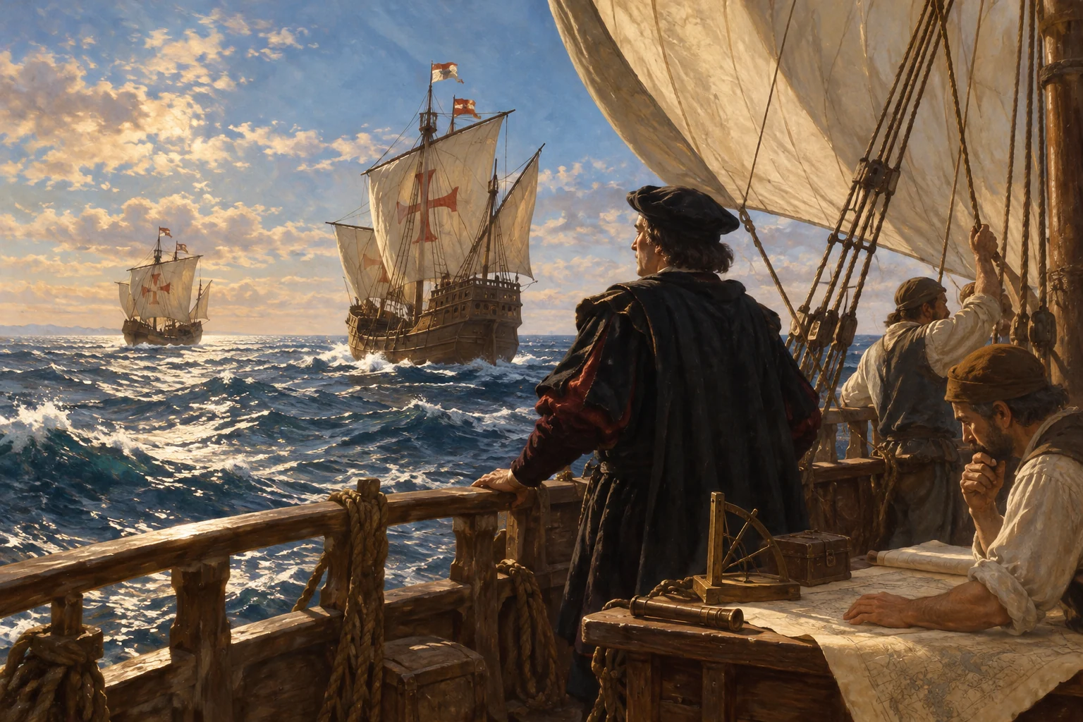
Navigation by compass and stars — AI-generated reconstruction made for Histlas, 2026. People, vessels and settings are illustrative, not an eyewitness record or exact likeness.
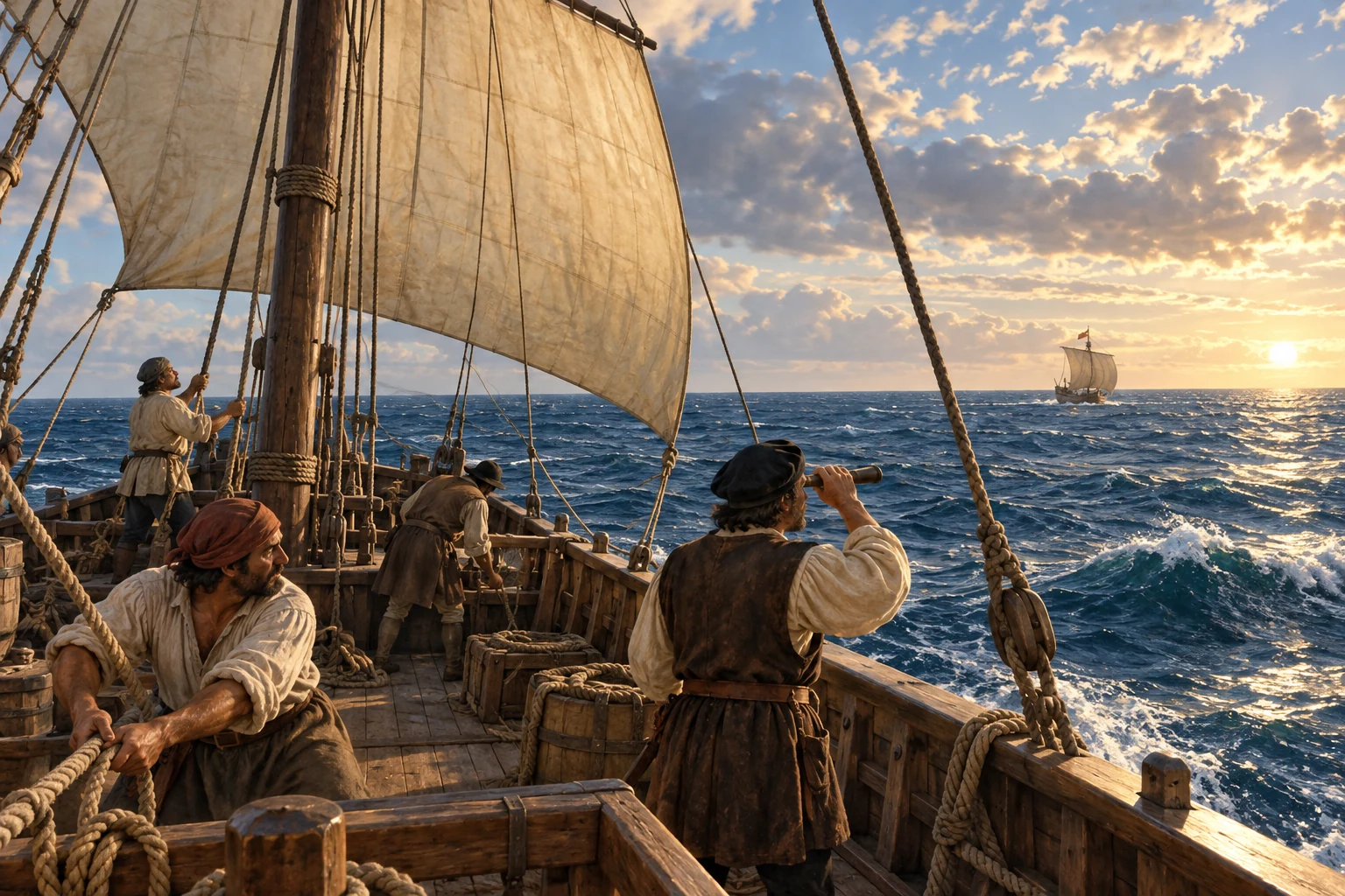
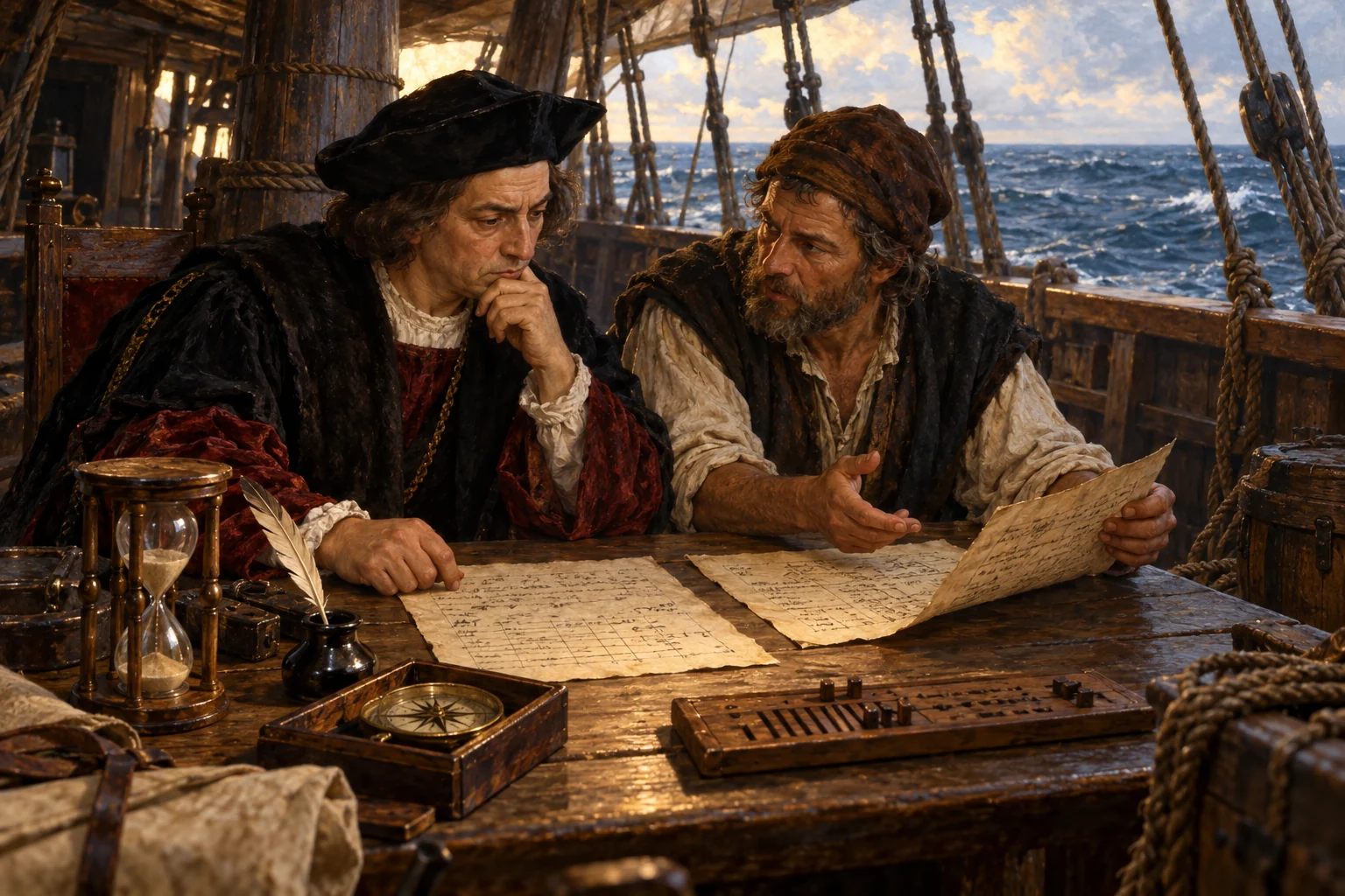
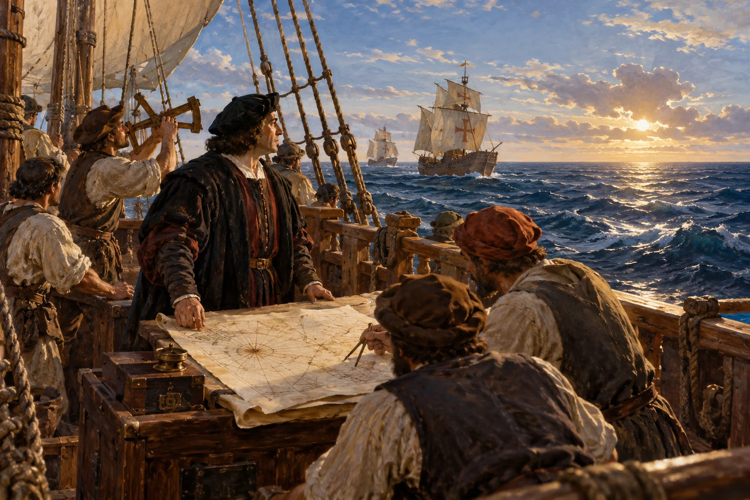
The tools for this journey have developed over centuries. Sailors use the compass, stars and winds to keep their course, estimating distance from speed and time. Portuguese shipbuilders have refined the caravel for Atlantic exploration. Together, these skills and vessels make the crossing possible.
Historical dates and route context
Supporting context: ≈12th–13th century — compass enters European maritime navigation; 15th century — Portuguese Atlantic caravels are developed and refined.
Modern reconstruction of Moguer’s shipyards and Niña. Photo: 2monthkeep, 2001 · CC BY-SA 4.0. Unmodified.
The expedition depends on shipbuilders as well as navigators. Beside the River Tinto at Moguer, local craftsmen built the caravel Niña around 1488. She was originally called Santa Clara and belonged to the Niño family. This small merchant vessel will become one of Columbus’s most dependable ships. The river-port district connects the coming voyage to an established community of carpenters, owners and sailors.
Historical dates and route context
Representative location of Moguer’s historic River Tinto port and shipbuilding district; not a verified individual construction slip. The date introduces the ship in the 1492 preparations, not its construction date.
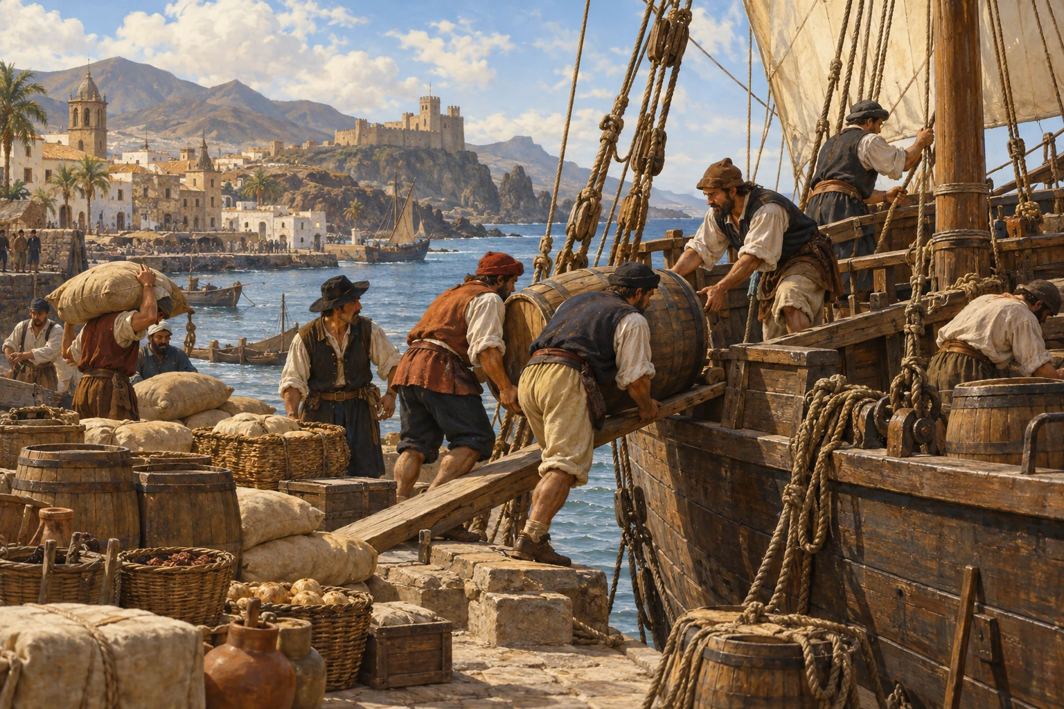
Preparing provisions for an Atlantic voyage — AI-generated reconstruction made for Histlas, 2026. People, vessels and settings are illustrative, not an eyewitness record or exact likeness.
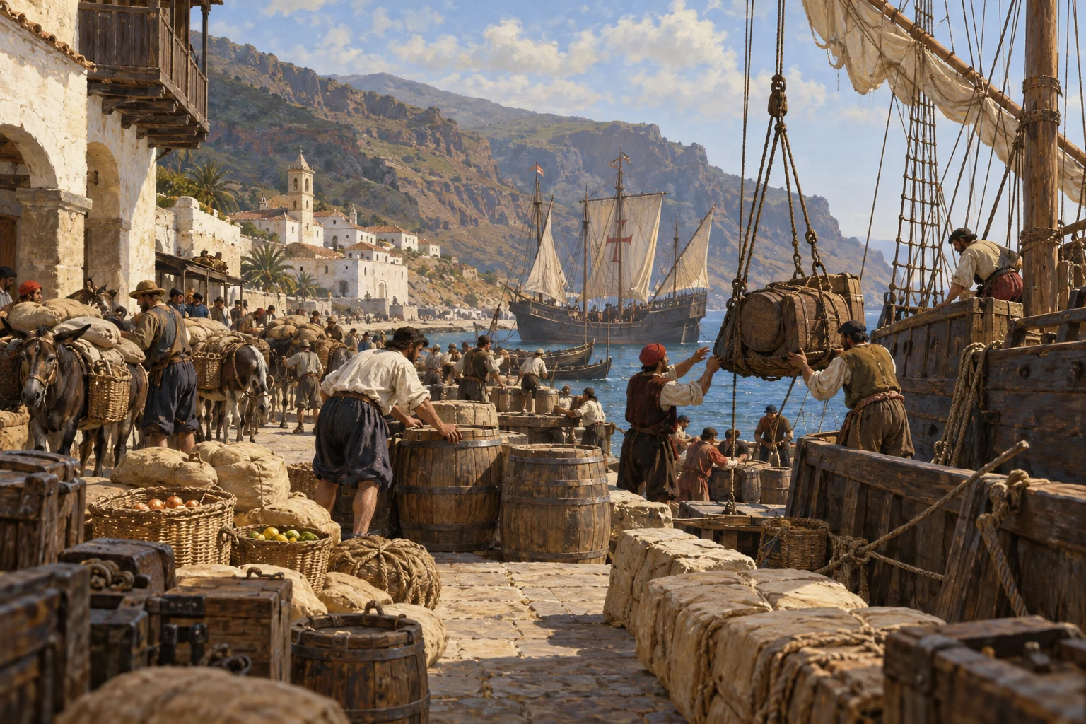
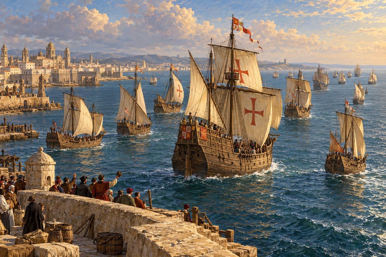
At Palos, ships must be secured, crews recruited, and food and water brought aboard. The Pinzón brothers help assemble the expedition. Fewer than a hundred people will make the voyage in three small vessels.
1893 Columbian Exposition ship replicas, photographed in New York; published in E. Benjamin Andrews’s History of the United States (1912). Reconstructions, not the original vessels; public domain.
Here is the fleet at Palos. Niña and Pinta are caravels, compact vessels suited to exploration. The heavier Santa María is a cargo vessel, a nao, serving as Columbus’s flagship. Niña’s construction is linked to Moguer. Pinta’s precise building place is not securely established, and Santa María’s origins are commonly associated with Galicia, without a securely identified individual shipyard. These are working vessels brought together for the expedition, preparing to cross an ocean far wider than their commander expects.
Historical dates and route context
Niña — caravel · Pinta — caravel · Santa María — nao. Interpretive silhouettes; grouped approximate positions do not reconstruct separate ship tracks.
The Departure of Columbus from Palos — Emanuel Leutze, 1865, Williamson Art Gallery & Museum. Later artistic interpretation; public domain.
Three ships leave Palos and sail south toward the Canary Islands. Columbus plans to reach Asia from the west, but first the expedition follows a familiar Atlantic route. Within days, Pinta’s rudder comes loose. The ocean crossing must wait: before venturing beyond known shores, the fleet needs repairs and fresh supplies.
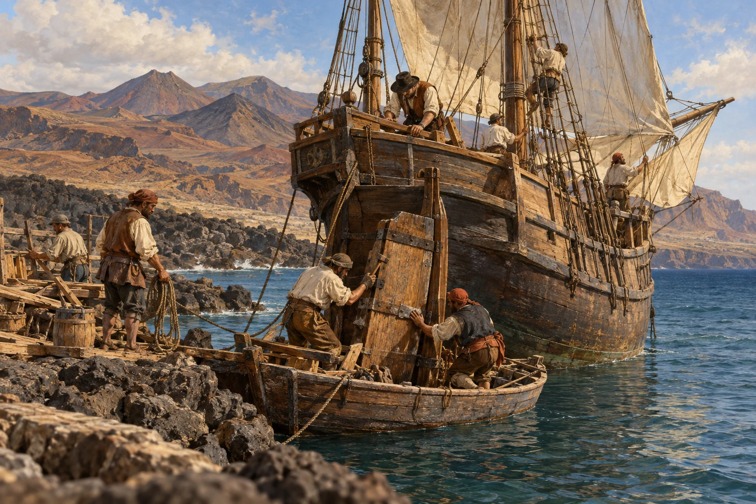
Repairs in the Canary Islands — AI-generated reconstruction made for Histlas, 2026. People, vessels and settings are illustrative, not an eyewitness record or exact likeness.
For now, the fleet waits in the Canary Islands. Pinta’s rudder needs repairs, and Niña’s rigging is adapted for the crossing. Columbus cannot risk the open Atlantic until the ships are ready. Once the work is complete, he can use the easterly winds to carry them west.
AI-generated reconstruction for Histlas, 2026. People, ships and settings are illustrative, not eyewitness records or exact likenesses.
With repairs complete, the ships leave Gran Canaria and make their way to La Gomera. The long crossing still lies ahead, but the fleet is nearly ready. This short passage brings the vessels together at the place where they will take on final supplies before heading west.
AI-generated reconstruction for Histlas, 2026. People, ships and settings are illustrative, not eyewitness records or exact likenesses.
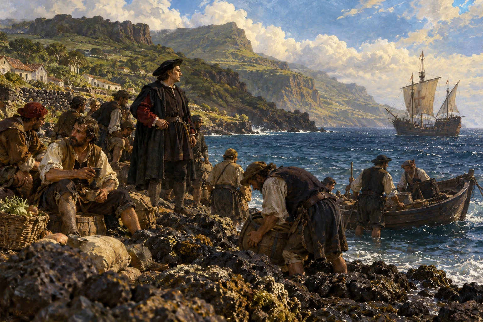
At La Gomera the ships take on water and provisions. Ahead lies a passage with no known stopping place, so everything needed at sea must be carried aboard. The Canaries are a practical staging point beside the Atlantic trade winds. Once the supplies are ready, the expedition can turn west.
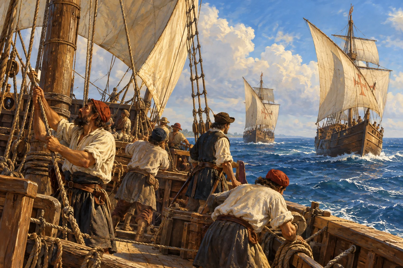
Life aboard a caravel during an Atlantic passage — AI-generated reconstruction made for Histlas, 2026. People, vessels and settings are illustrative, not an eyewitness record or exact likeness.
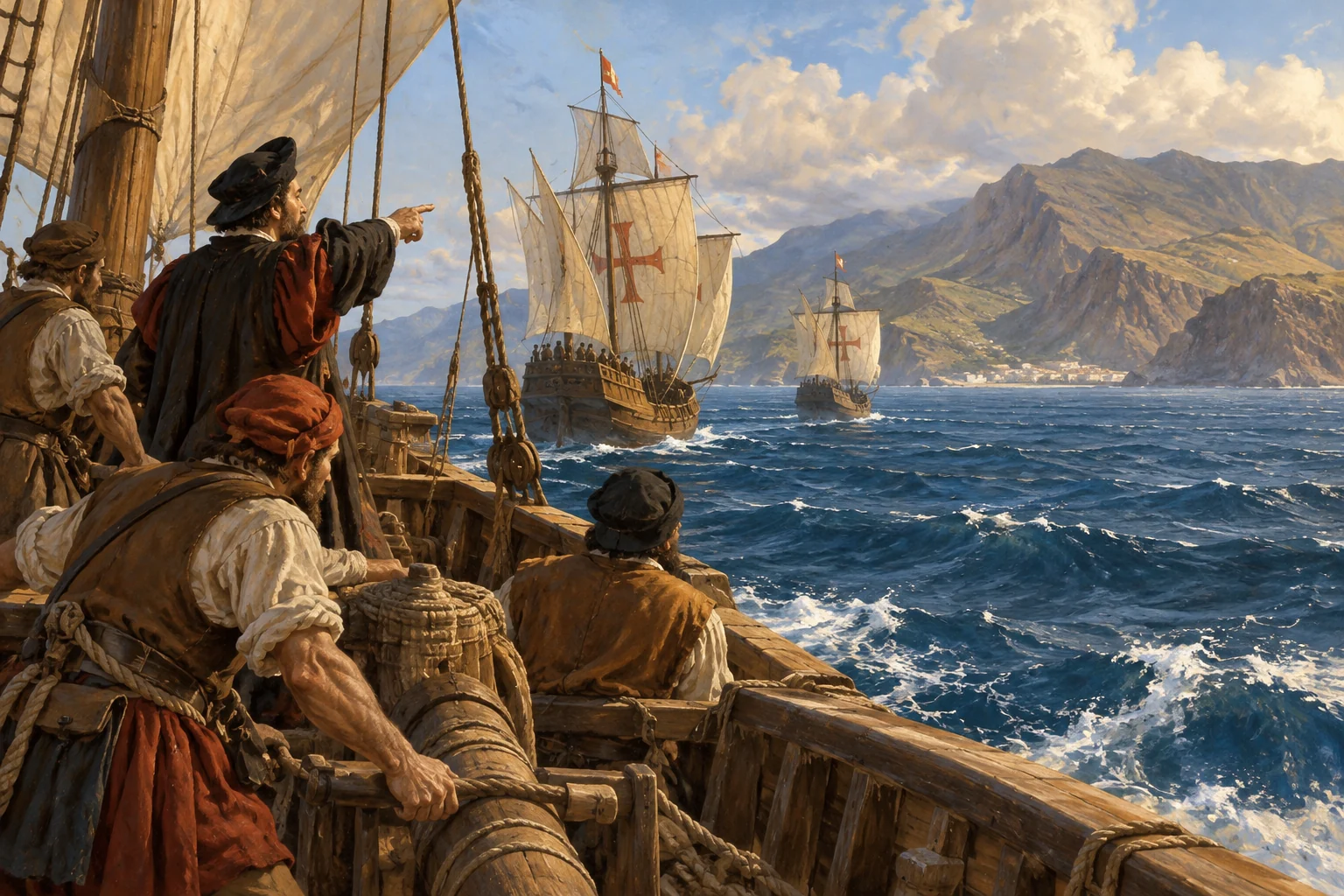
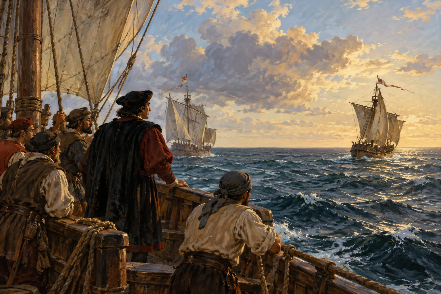
The fleet leaves La Gomera and turns west. Familiar land disappears behind it. Sailors steer by compass and estimate distance from speed and time. Columbus expects islands near Asia, unaware of the geography ahead.
AI-generated reconstruction for Histlas, 2026. People, ships and settings are illustrative, not eyewitness records or exact likenesses.
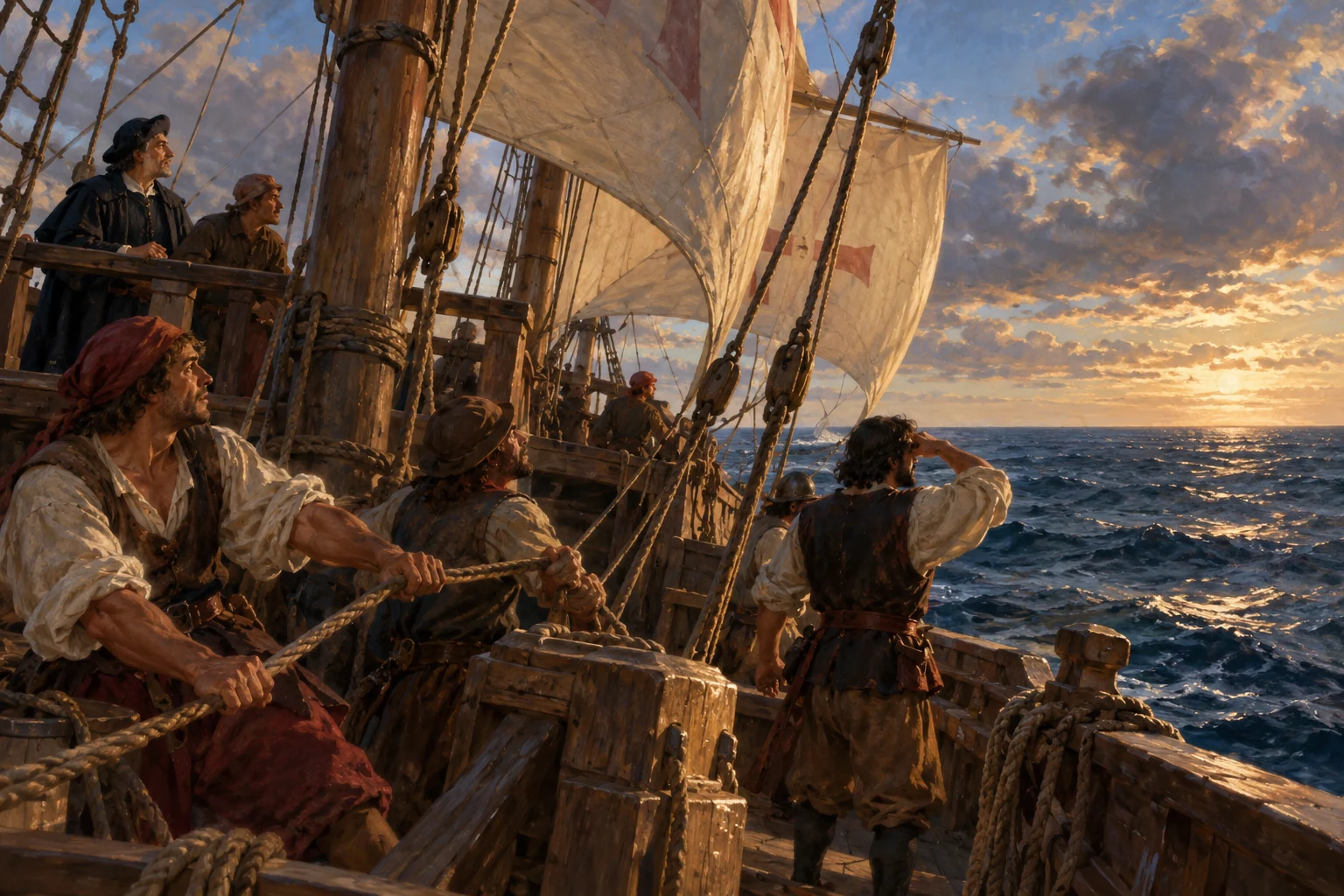
Easterly winds fill the sails and carry the ships west. They also raise a troubling question: how will the fleet sail home against them? The return will require different winds and a different route.
AI-generated reconstruction for Histlas, 2026. People, ships and settings are illustrative, not eyewitness records or exact likenesses.
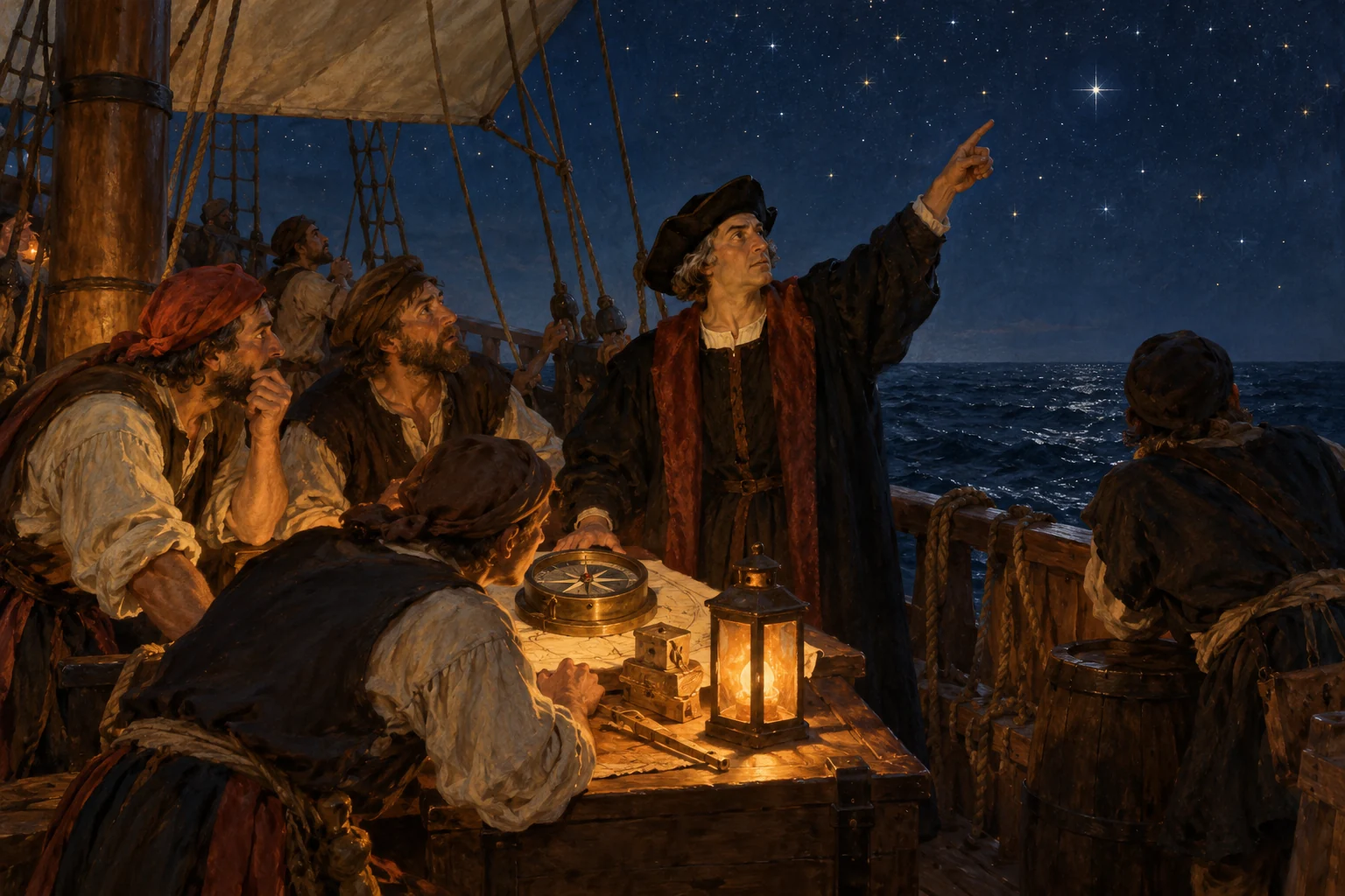
As the ships move west, the compass needle’s relationship to the Pole Star appears to change. The observations unsettle the sailors. Columbus offers explanations, trying to maintain confidence in their course and instruments.
Historical dates and route context
Navigation observation: compass variation. The surviving journal is Las Casas’s later abridgment, rather than Columbus’s original manuscript.
AI-generated reconstruction for Histlas, 2026. People, ships and settings are illustrative, not eyewitness records or exact likenesses.
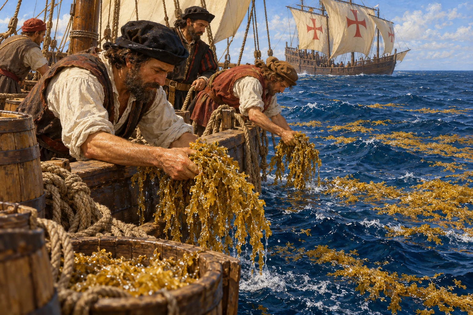
The fleet sails among floating Sargassum. Sailors hope the weeds mean land is nearby, but they are also an open-ocean feature. Birds and vegetation become uncertain clues as the ships continue west.
Historical dates and route context
Sargasso Sea — floating vegetation is an ocean feature, not a reliable measure of distance to shore.
AI-generated reconstruction for Histlas, 2026. People, ships and settings are illustrative, not eyewitness records or exact likenesses.
A change in wind direction reassures the crew: the air does not always blow westward. Yet no coast appears. Distance remains uncertain, and every possible sign of land draws attention along the continuing passage.
AI-generated reconstruction for Histlas, 2026. People, ships and settings are illustrative, not eyewitness records or exact likenesses.
A distant shape raises hopes aboard the ships, then proves to be cloud. Birds and floating plants continue to encourage the search. Neither can tell the crew exactly where land lies or how far away.
AI-generated reconstruction for Histlas, 2026. People, ships and settings are illustrative, not eyewitness records or exact likenesses.
Columbus records a larger distance estimate than the one he gives the crew, hoping to limit alarm. Both are uncertain. As the fleet sails onward, nobody aboard can measure longitude reliably or know the distance ahead.
AI-generated reconstruction for Histlas, 2026. People, ships and settings are illustrative, not eyewitness records or exact likenesses.
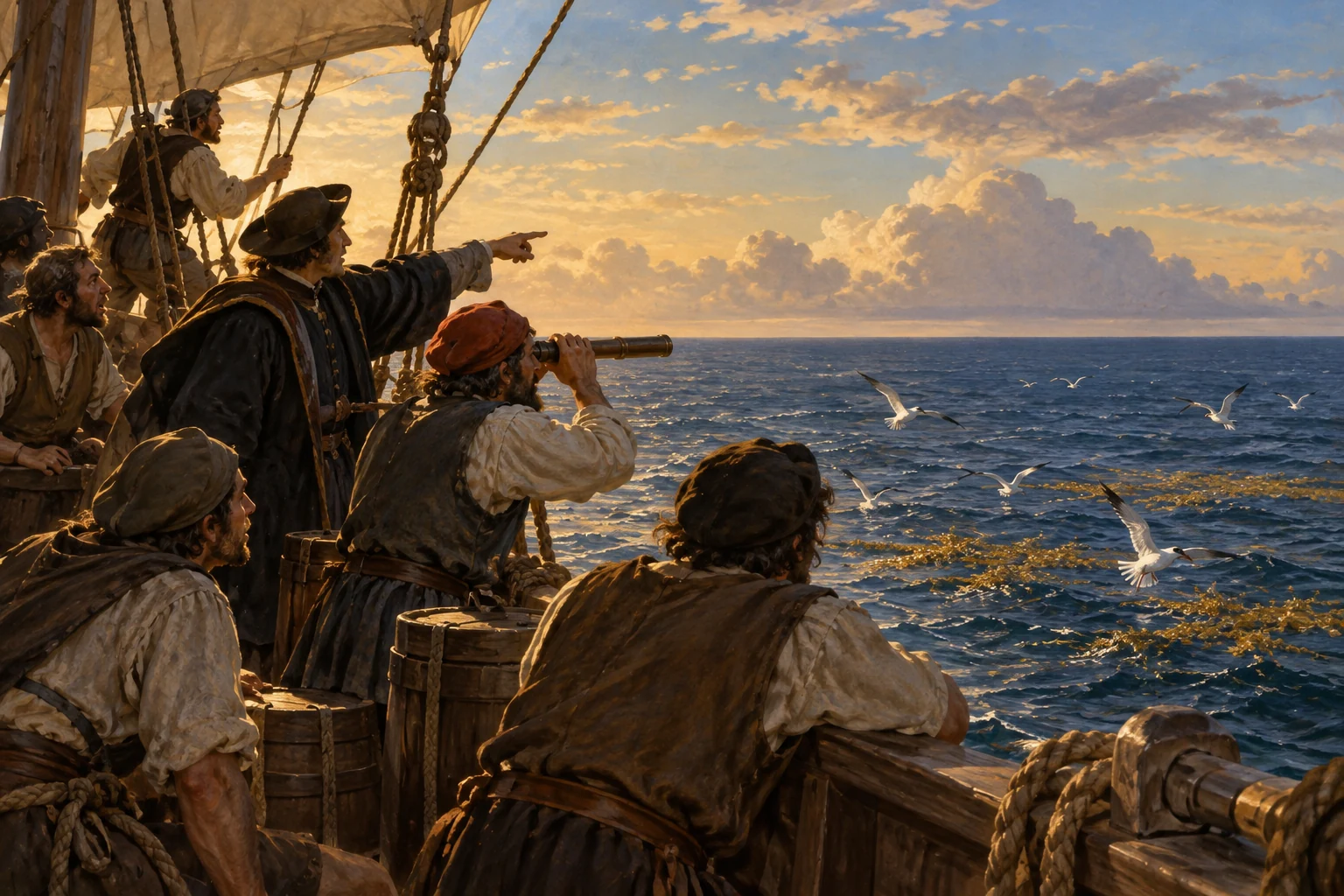
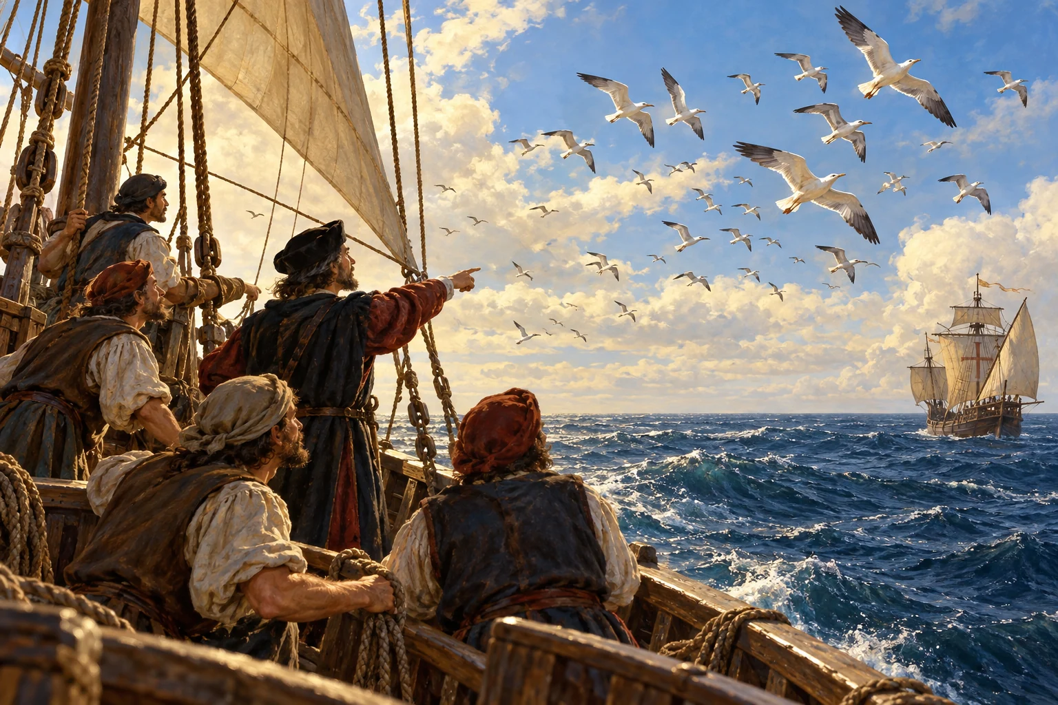
Birds heading southwest prompt a change of course. The fleet follows them toward the Bahamas, while Columbus still expects Asia. With no useful chart ahead, signs from the natural world help shape the route.
AI-generated reconstruction for Histlas, 2026. People, ships and settings are illustrative, not eyewitness records or exact likenesses.
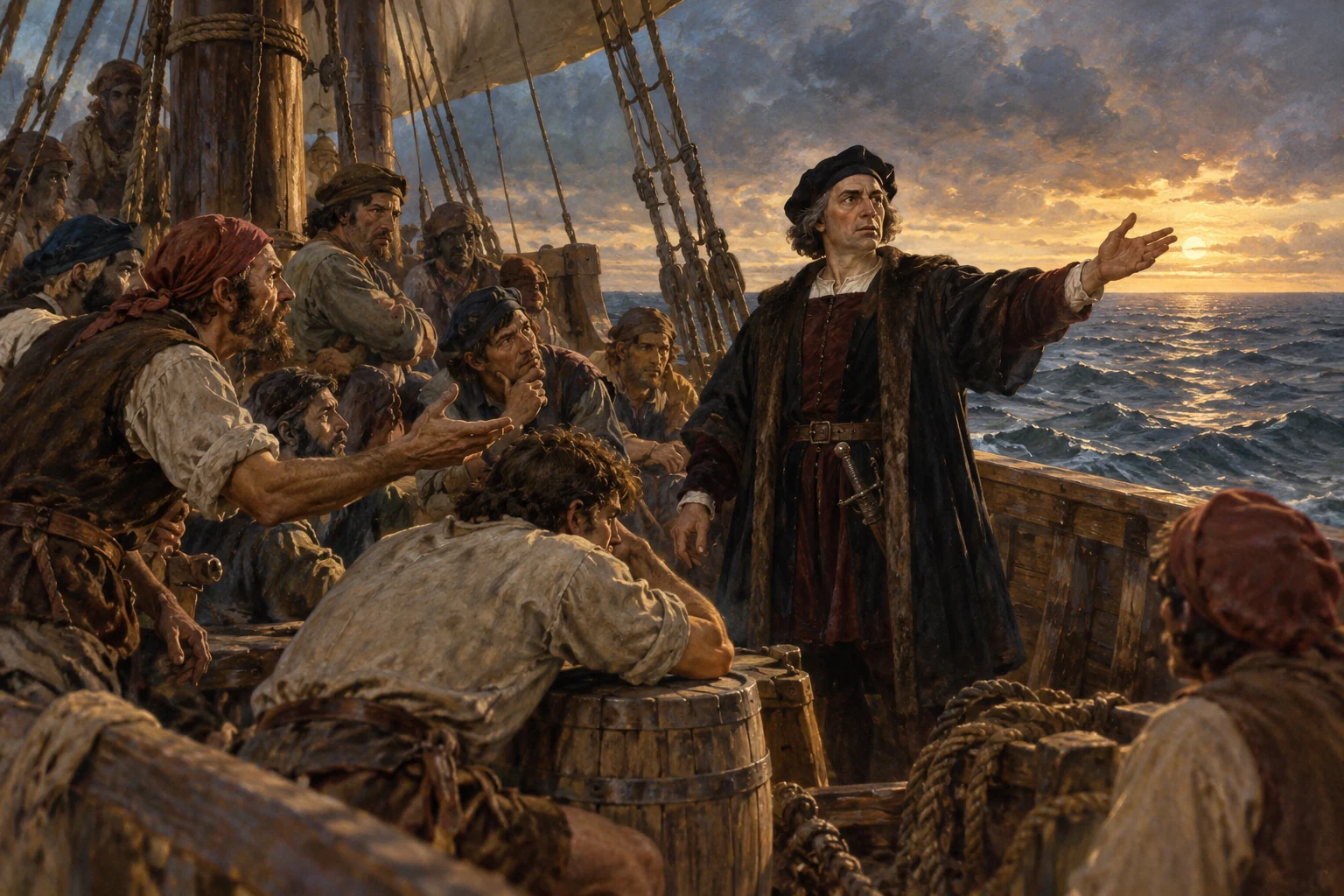
After weeks at sea, the crew complains about continuing west. Columbus urges them onward. The surviving journal records anxiety, but the dramatic tale of a mutiny and a precise three-day ultimatum is less securely documented.
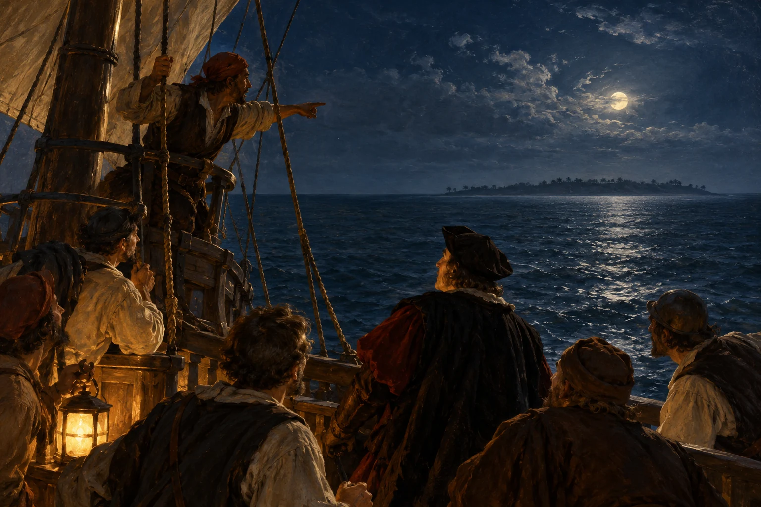
Land sighted in the night — AI-generated reconstruction made for Histlas, 2026. People, vessels and settings are illustrative, not an eyewitness record or exact likeness.
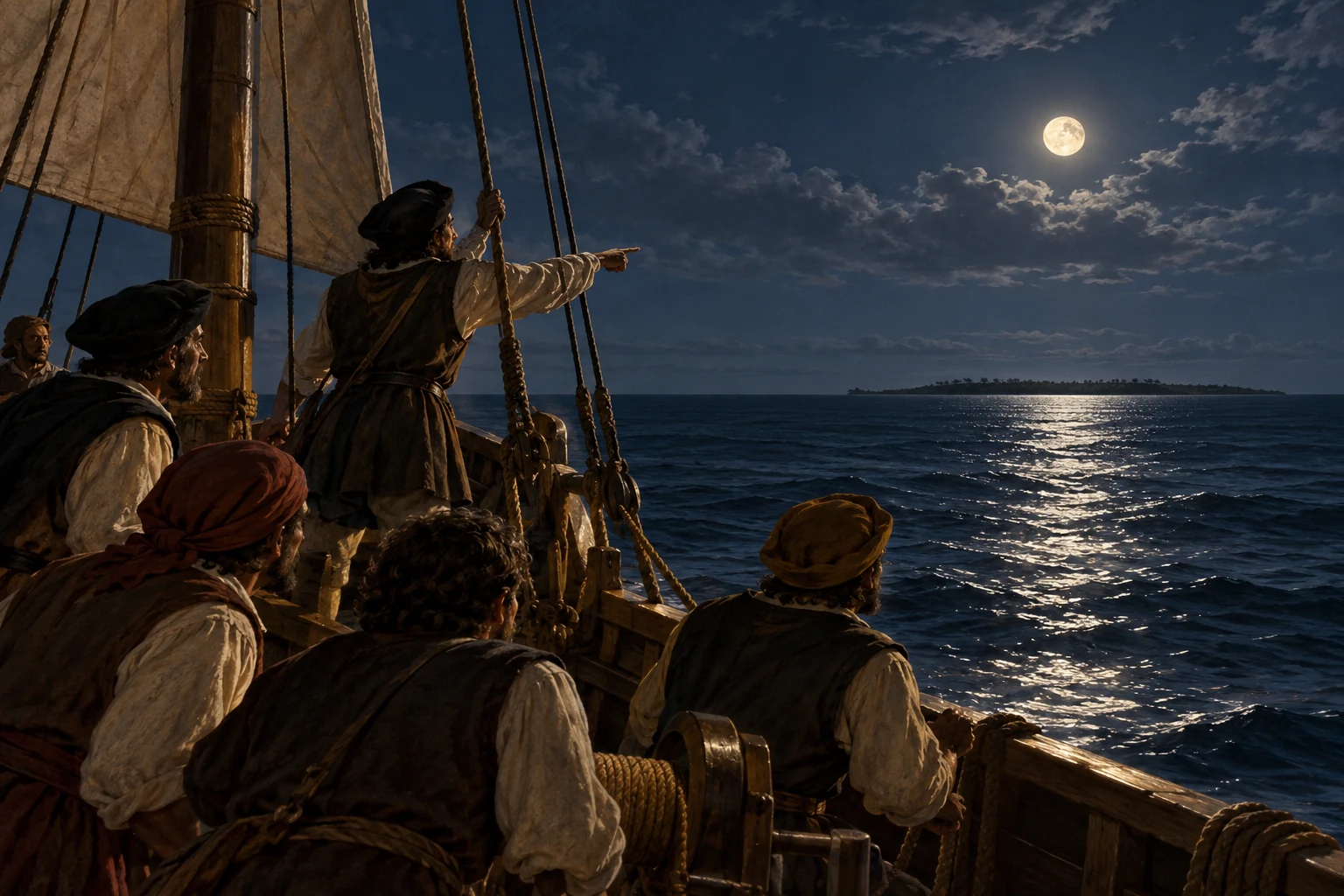
Around ten in the evening, Columbus reports a distant light, though he is unsure what it means. The ships keep sailing through the night. After weeks of uncertain signs, a shore may finally be close.
AI-generated reconstruction for Histlas, 2026. People, ships and settings are illustrative, not eyewitness records or exact likenesses.
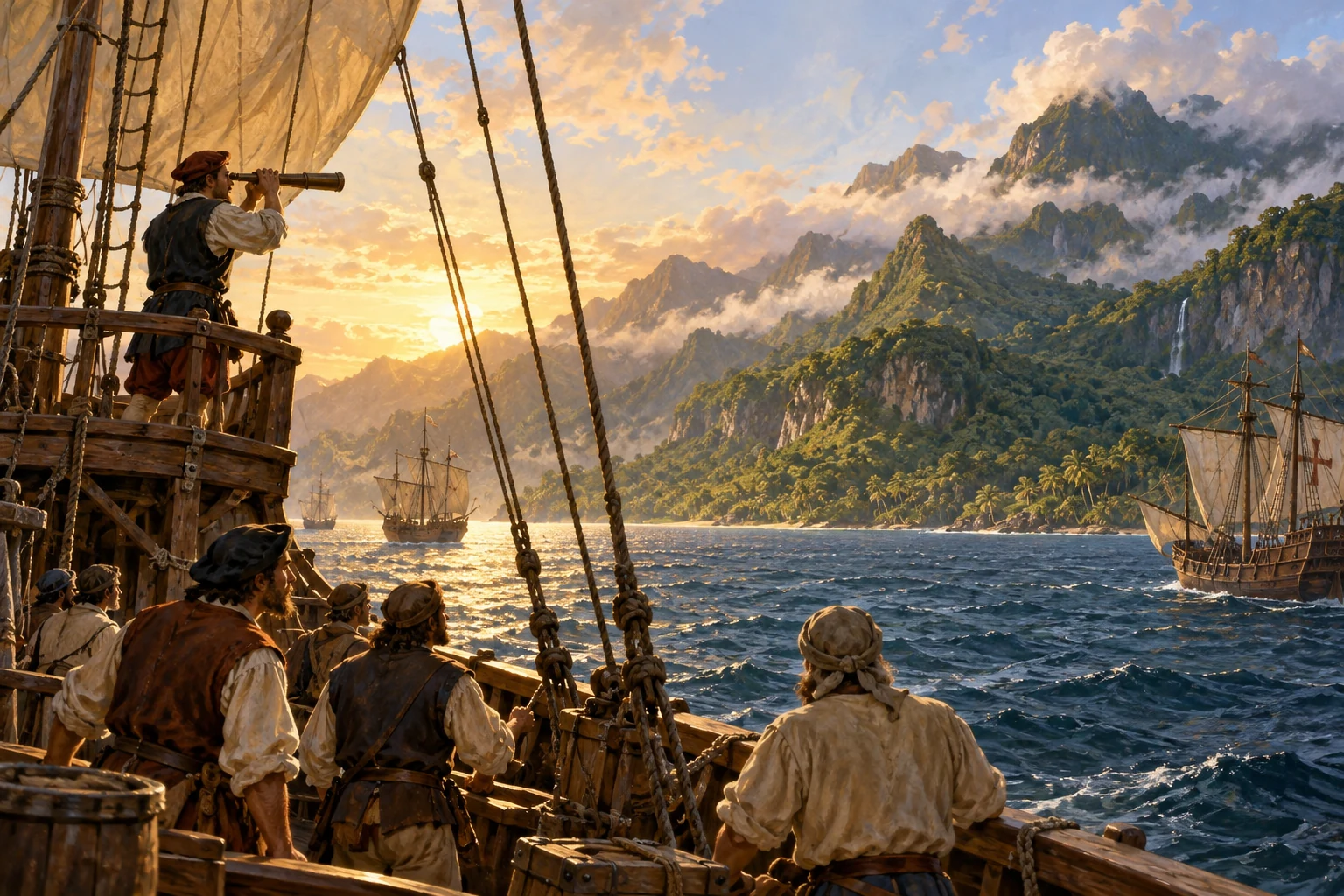
About two in the morning, land is sighted from Pinta. Rodrigo de Triana is traditionally credited with the sighting. The fleet waits for daylight before approaching. Columbus believes this shore belongs to islands near Asia. The island’s Indigenous name is Guanahani; its precise identification remains debated.
Historical dates and route context
The traditional landfall is San Salvador. The identity of Guanahani remains debated, and the plotted location is approximate.
Landing of Columbus — John Vanderlyn, 1847, U.S. Capitol. A 19th-century imagining, not an eyewitness record; public domain.
Daylight reveals Guanahani, an inhabited island in the Bahamas. Lucayan Taíno people meet the newcomers. Columbus believes he is near Asia. The people on shore have their own communities and histories, and this arrival begins an encounter that will transform their world.
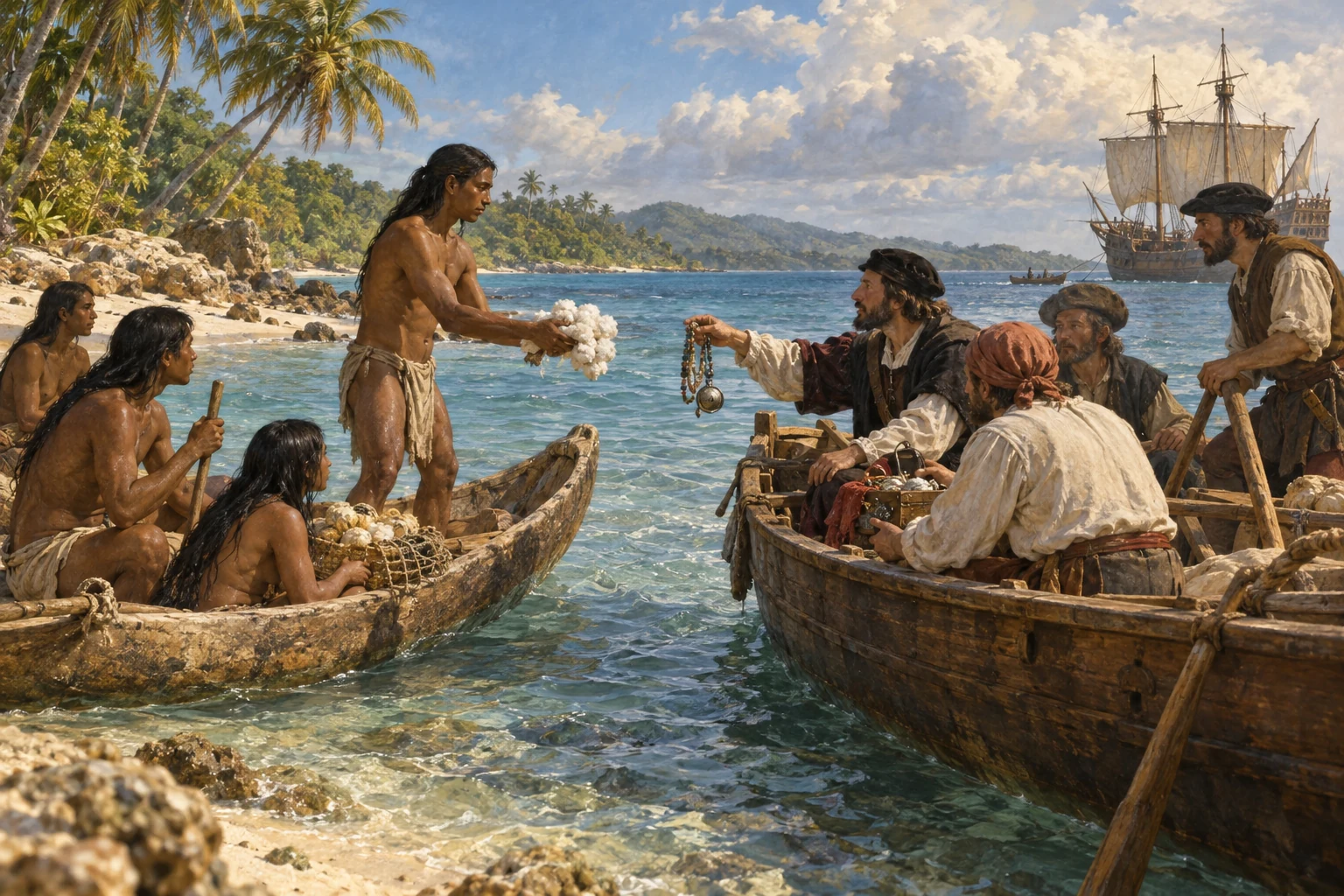
Early encounters in the Caribbean — AI-generated reconstruction made for Histlas, 2026. People, vessels and settings are illustrative, not an eyewitness record or exact likeness.
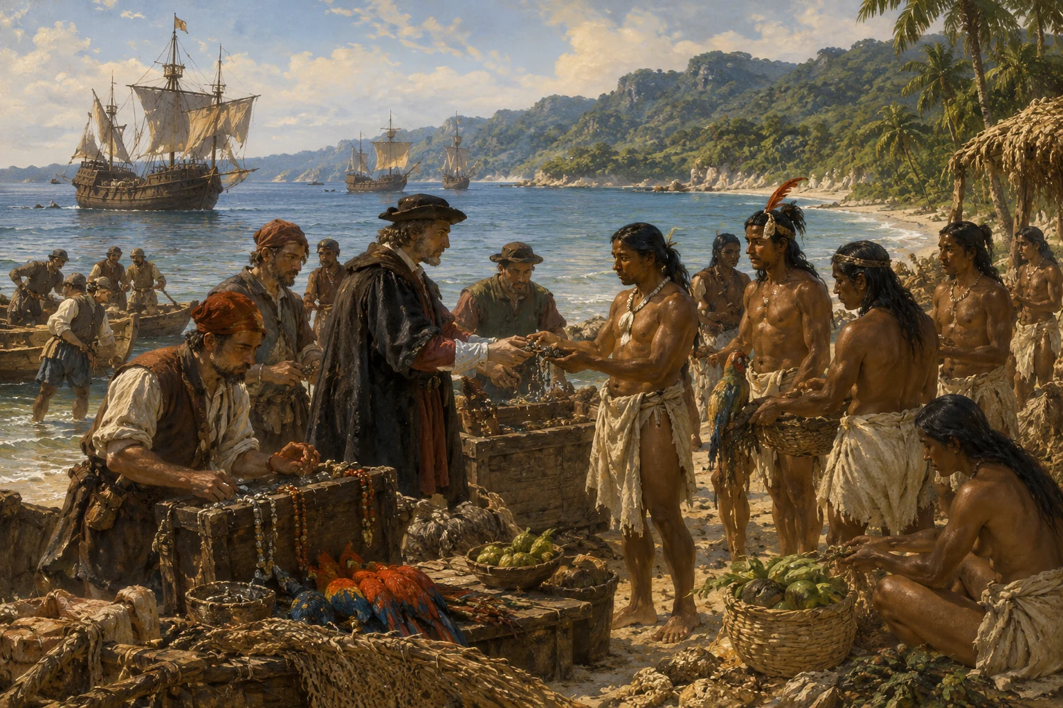
As the expedition moves among the islands, cotton, parrots and small objects pass between islanders and newcomers. Columbus asks about gold and continues searching for wealthy Asian lands. His account also describes taking people captive. Exchange and curiosity are already accompanied by coercion as the fleet turns toward Cuba.
Exploring Caribbean coasts — AI-generated reconstruction made for Histlas, 2026. People, vessels and settings are illustrative, not an eyewitness record or exact likeness.
The ships explore the coast of Cuba. Columbus considers whether it could belong to the Asian mainland. His expectations shape how he interprets what he sees, even as the coastline resists his imagined map. The expedition continues through the islands, looking for gold, trading partners and evidence of the destination he expected.
AI-generated reconstruction for Histlas, 2026. People, ships and settings are illustrative, not eyewitness records or exact likenesses.
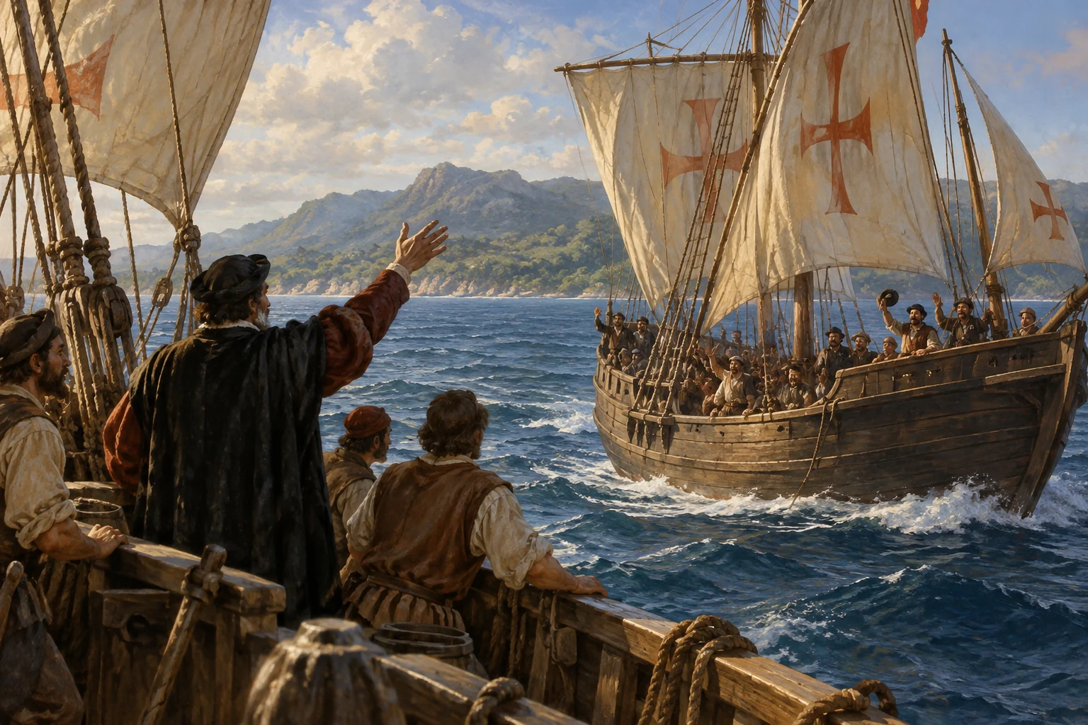
Pinta leaves Columbus’s group under Martín Alonso Pinzón. Niña and Santa María continue toward Hispaniola while the separated vessel pursues its own passage. The expedition is no longer travelling together. Columbus still seeks gold and signs of Asia, but his immediate task also includes keeping the remaining ships supplied and seaworthy.
Historical dates and route context
Pinta is shown as detached until the reunion in January. The fleet display records membership, not three independently surveyed tracks.
AI-generated reconstruction for Histlas, 2026. People, ships and settings are illustrative, not eyewitness records or exact likenesses.
The ships follow the coast of Hispaniola, home to Taíno communities and their leaders. Local exchanges help sustain the newcomers, while Columbus continues seeking gold and planning a lasting presence. As the expedition explores the northern coast, an accident is about to change the fleet and leave men behind on the island.
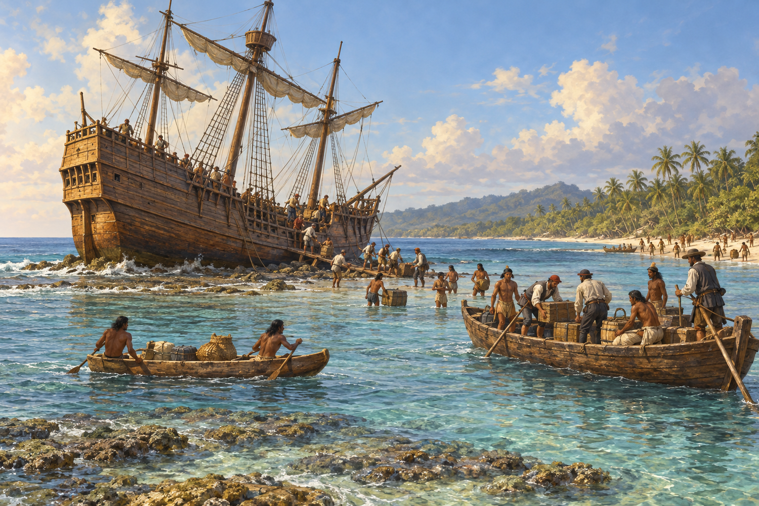
Santa María grounded off Hispaniola, Christmas 1492 — AI-generated reconstruction made for Histlas, 2026. The vessel, shore and salvage scene are illustrative; the exact ship appearance and wreck site are not established.
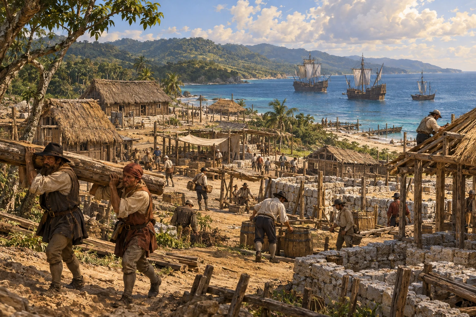
Santa María runs aground off northern Hispaniola and cannot be recovered. Columbus loses his flagship. Timber from the abandoned vessel is used to build La Navidad, where thirty-nine men will remain. The expedition now has only two surviving caravels, and Pinta is still away from Columbus’s group.
Historical dates and route context
Wreck location is approximate. Pinta is still detached at this point; the two surviving caravels reunite before the return crossing.
Construction of La Navidad — woodcut from the Basel edition of Columbus’s letter, 1493/1494; unknown artist. Public domain. A period illustration, not a measured plan or eyewitness view.
Niña moves east along the coast, leaving the wreck and the settlement at La Navidad behind. Columbus must now find Pinta and prepare the surviving ships for the crossing home. The men left on Hispaniola wait for a promised return; their fate will confront the next expedition.
AI-generated reconstruction for Histlas, 2026. People, ships and settings are illustrative, not eyewitness records or exact likenesses.
Pinta rejoins Columbus as the remaining ships continue along Hispaniola. Santa María will never return to Spain. Niña and Pinta must carry the expedition home, while thirty-nine men remain at La Navidad. The voyage has created a foothold for further colonization before its sponsors have even heard the full account.
AI-generated reconstruction for Histlas, 2026. People, ships and settings are illustrative, not eyewitness records or exact likenesses.
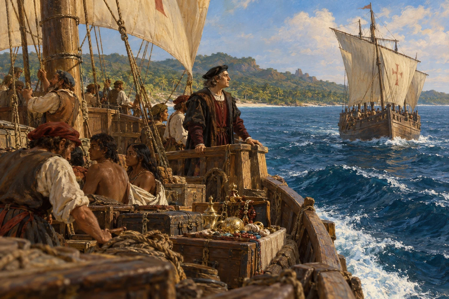
Niña and Pinta leave Hispaniola and turn toward the northern Atlantic, seeking winds for an eastward crossing. Columbus carries accounts and objects intended to persuade his sponsors that the voyage has succeeded. People taken from the islands are also carried aboard. The homeward passage will test both ships and crews.
Storm at sea — AI-generated reconstruction made for Histlas, 2026. People, vessels and settings are illustrative, not an eyewitness record or exact likeness.
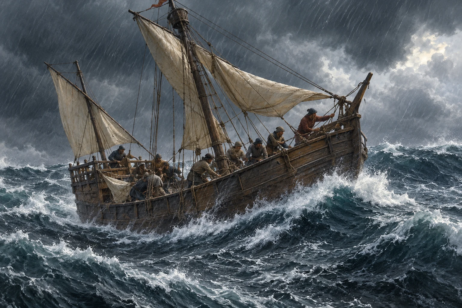
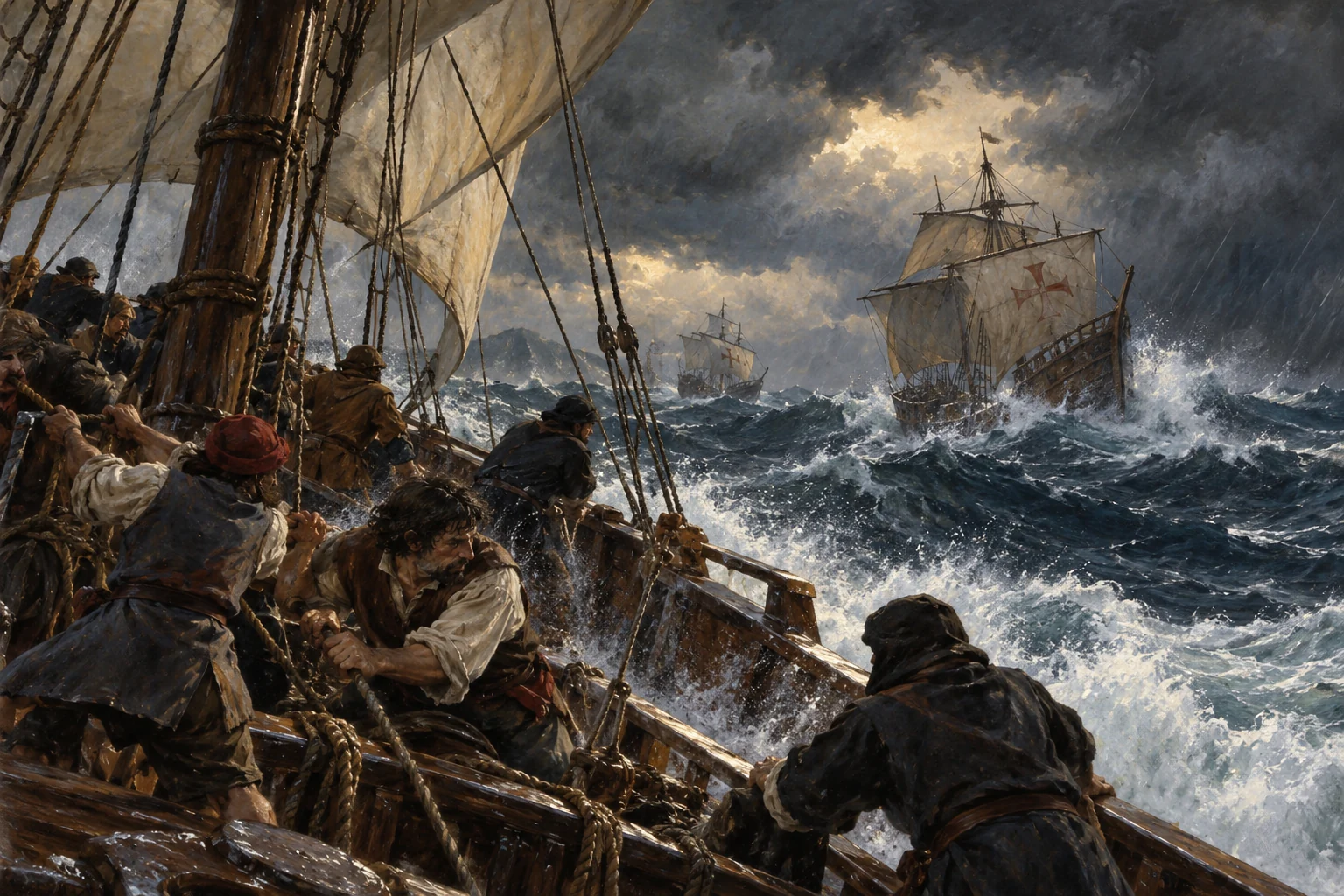
Severe weather separates the two caravels. Niña continues alone through the storm, with Columbus fearing that his account may disappear if the ship sinks. The surviving narrative describes him sealing a written account and casting it into the sea. The immediate goal is survival and a return to known Atlantic islands.
Historical dates and route context
The sealed-account episode is reported in the surviving narrative; it is not an independently verified recovered document.
AI-generated reconstruction for Histlas, 2026. People, ships and settings are illustrative, not eyewitness records or exact likenesses.
Niña reaches the Azores after the dangerous crossing. The island stop brings relief, though Spain is still far away. After difficulties ashore, Columbus sails onward through an unsettled Atlantic. Pinta remains separated. Weather, rather than the intended destination alone, will shape where his ship reaches the European coast.
Returning to an Iberian harbour — AI-generated reconstruction made for Histlas, 2026. People, vessels and settings are illustrative, not an eyewitness record or exact likeness.
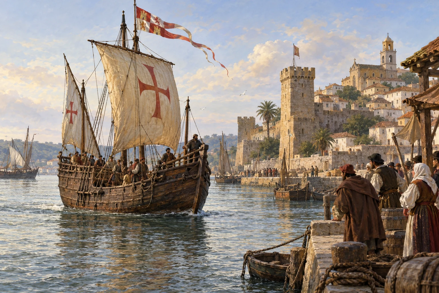
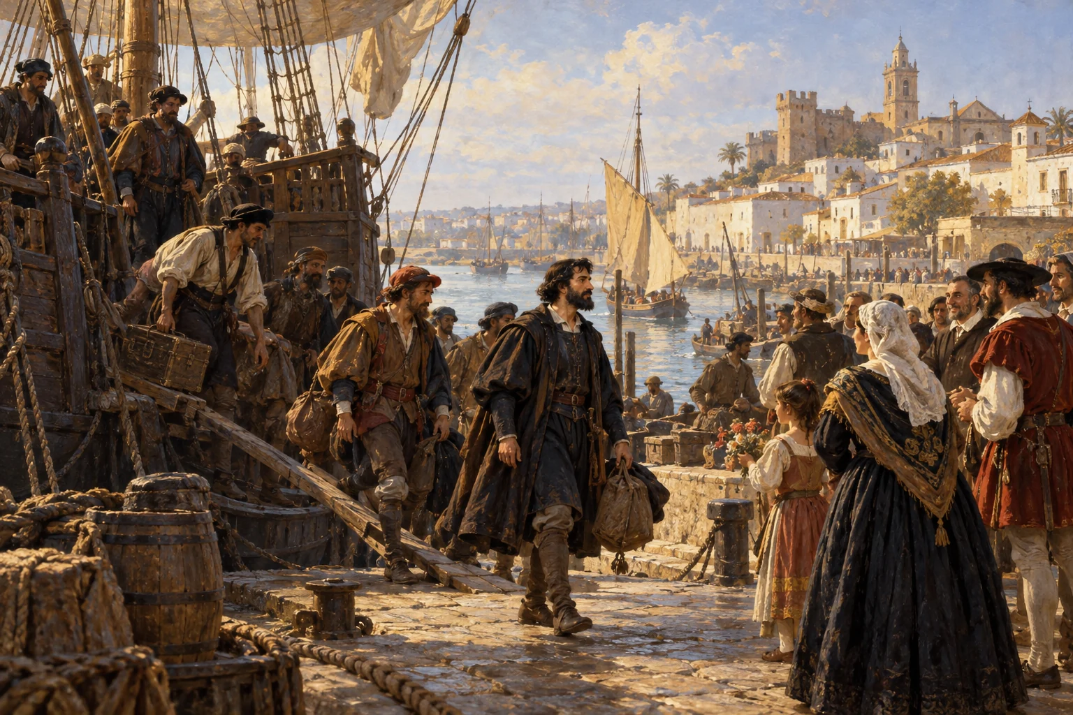
Columbus enters the Tagus and stops in Portugal before the final passage to Spain. His account brings the voyage into the rivalry between the Iberian kingdoms. Niña then sails toward Palos, the port it left months earlier. The crossing is ending, but the consequences of the expedition are only beginning.
AI-generated reconstruction for Histlas, 2026. People, ships and settings are illustrative, not eyewitness records or exact likenesses.
Columbus returns to Palos 223 days after departure. Niña and Pinta reach the port, while Santa María remains wrecked in Hispaniola. He believes he has reached lands associated with Asia. His report encourages another expedition, this time with a much larger fleet and the intention of establishing a colony.
Reception after the first voyage in Barcelona — Ricardo Balaca, painting of 1874, reproduced as a chromolithograph in 1892. Later artistic interpretation; public domain.
The first voyage is over, but its consequences are unfolding. Sustained contact brings new exchanges and trade, alongside conquest, forced labor, disease and enormous losses among Indigenous populations. Columbus still believes his destinations are associated with Asia. His next voyages will turn the search for a route into a colonial project.
Historical dates and route context
The first voyage ends here. Continue for the second, third and fourth voyages through 1504.
The larger second-voyage fleet — AI-generated reconstruction made for Histlas, 2026. People, vessels and settings are illustrative, not an eyewitness record or exact likeness.
Seventeen ships leave Cádiz with around twelve hundred people. This is a colonizing expedition, carrying supplies for a lasting settlement. Larger naos sail alongside caravels, including Niña from the first voyage. The fleet heads toward the Canaries before turning across the ocean.
AI-generated reconstruction for Histlas, 2026. People, ships and settings are illustrative, not eyewitness records or exact likenesses.
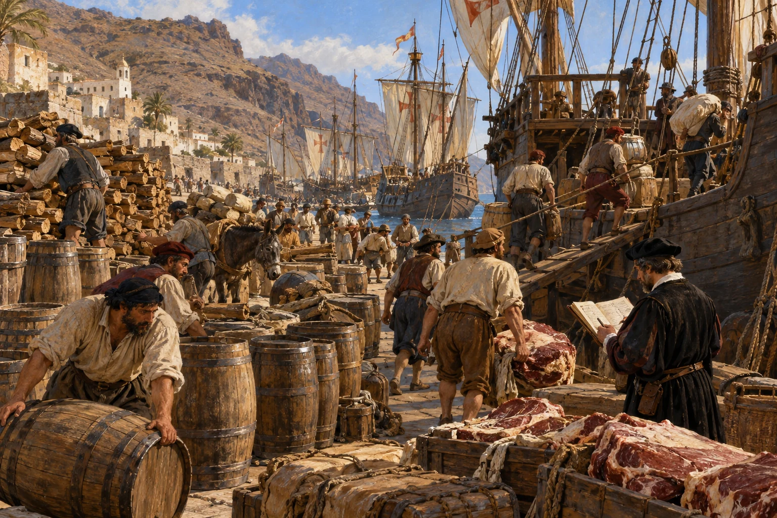
At La Gomera, the expedition takes on meat, wood and water for the ocean passage. Keeping seventeen vessels supplied is a different task from preparing three ships. Chanca, the fleet’s physician, records repairs and delays before the ships finally leave the Canary Islands.
Historical dates and route context
Canary arrival dates are approximate. The fleet marker represents vessel types; it does not display all seventeen ships individually.
AI-generated reconstruction for Histlas, 2026. People, ships and settings are illustrative, not eyewitness records or exact likenesses.
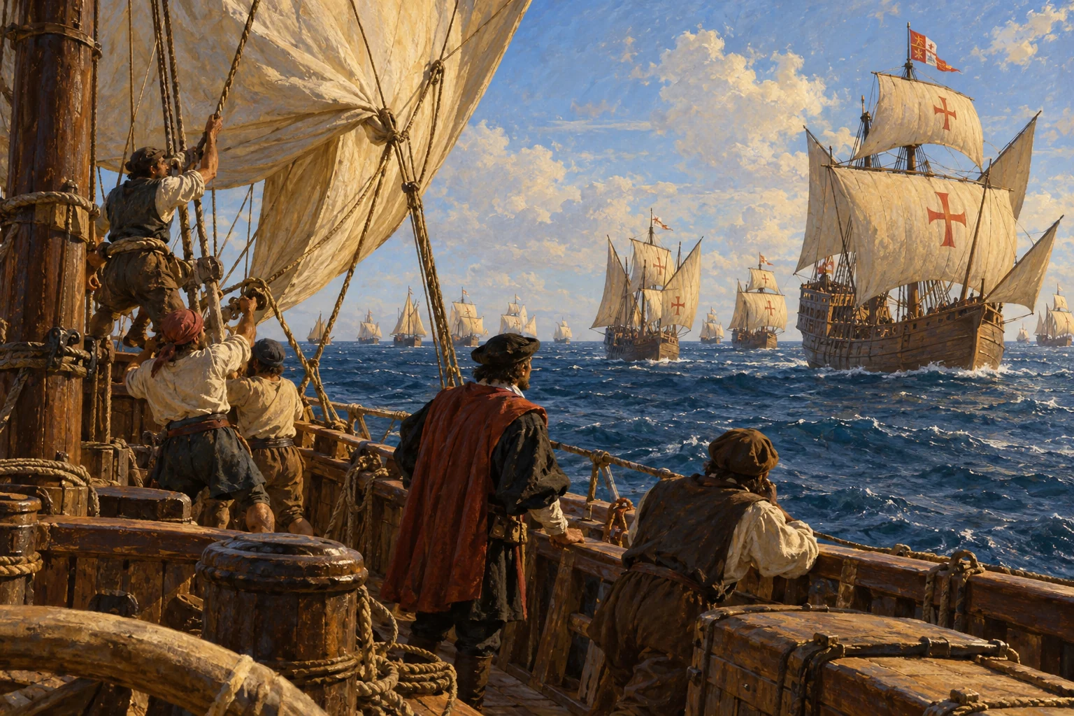
The fleet leaves the Canaries and heads west-southwest. Columbus now knows land can be reached across the Atlantic, but still interprets it through Asia. This more southerly course will bring the expedition to the Lesser Antilles, rather than its first landfall in the Bahamas.
AI-generated reconstruction for Histlas, 2026. People, ships and settings are illustrative, not eyewitness records or exact likenesses.
The weather is favorable, but watch how a larger fleet has to travel together. Faster ships shorten sail so the flagship can keep up. Chanca, the fleet’s physician, describes these repeated delays. Seventeen vessels bring more supplies and people, but coordinating them at sea takes care.
Historical dates and route context
20 October introduces an ongoing crossing condition, not a separately dated incident in Chanca’s account.
AI-generated reconstruction for Histlas, 2026. People, ships and settings are illustrative, not eyewitness records or exact likenesses.
After mostly favorable weather, a storm puts the fleet in danger for several hours. Chanca records this exception to an otherwise fortunate passage. The ships continue westward; land is still unseen, but this crossing will be substantially shorter than the first.
Historical dates and route context
Chanca places the storm on the eve of St Simon’s feast, 27 October.
Dominica on the horizon — AI-generated reconstruction made for Histlas, 2026. People, vessels and settings are illustrative, not an eyewitness record or exact likeness.
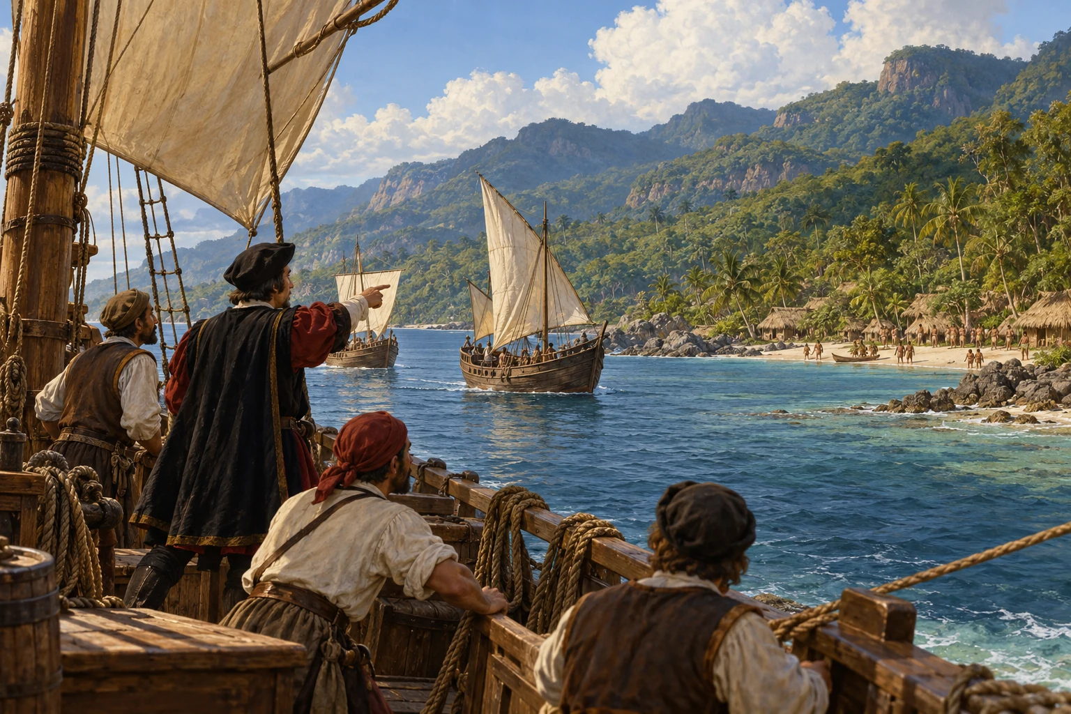
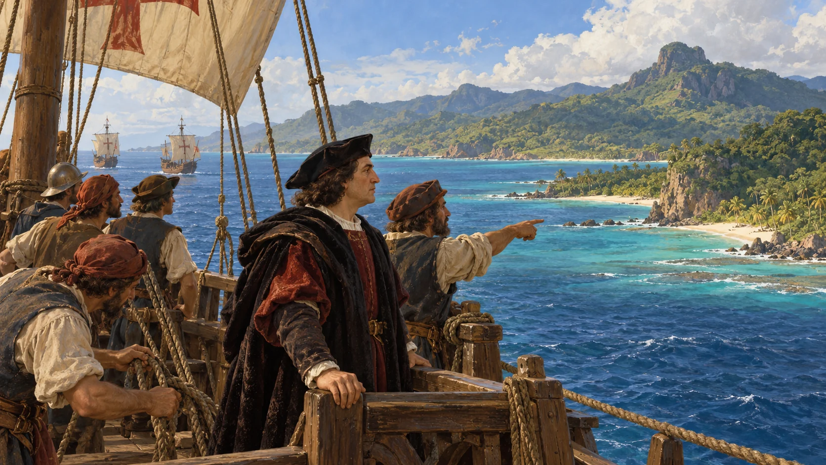
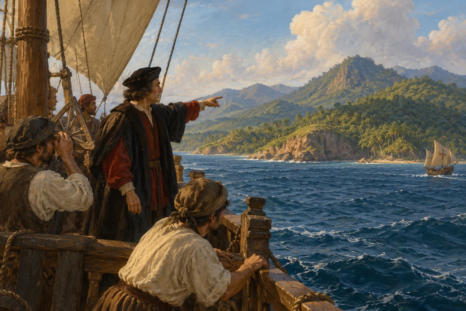
At dawn, a lookout on the flagship sights land. Mountains rise ahead on the island Columbus names Dominica. Finding no suitable harbor there, the expedition moves toward neighboring islands. The Atlantic crossing has brought it to another inhabited part of the Caribbean.
AI-generated reconstruction for Histlas, 2026. People, ships and settings are illustrative, not eyewitness records or exact likenesses.
After exploring islands of the Lesser Antilles, the fleet reaches Puerto Rico and continues toward Hispaniola. Columbus expects to find the men left at La Navidad. The voyage is shifting from ocean passage to the difficult realities of establishing a colony.
Historical dates and route context
Route and landfall dates follow the voyage’s linked historical sources.
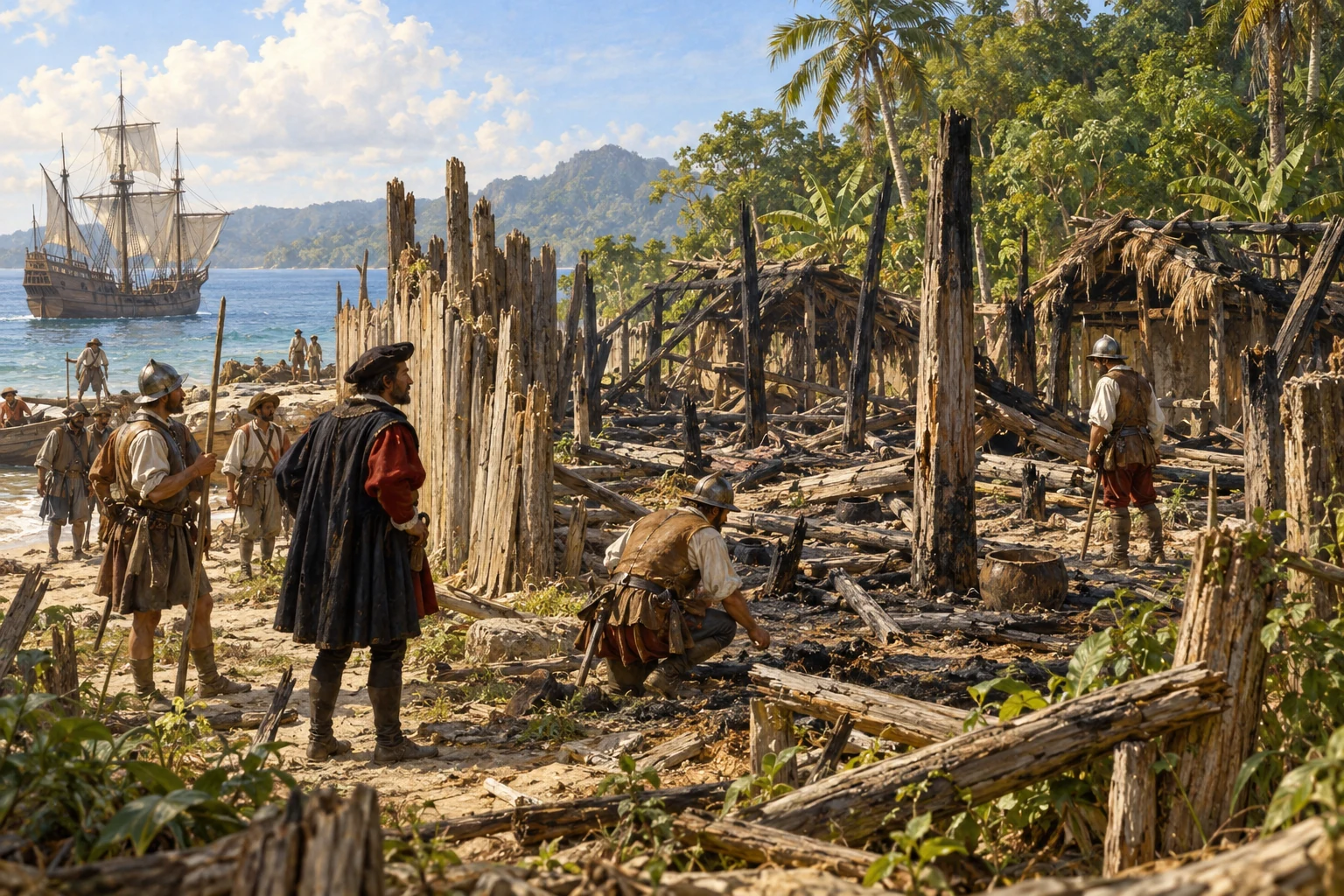
The destroyed La Navidad settlement — AI-generated reconstruction made for Histlas, 2026. People, vessels and settings are illustrative, not an eyewitness record or exact likeness.
Back on Hispaniola, Columbus finds La Navidad destroyed. The men he left behind are dead. Accounts describe conflict, but responsibility remains contested. With the settlement gone, the expedition must find another place to establish its colony.
The struggling La Isabela settlement — AI-generated reconstruction made for Histlas, 2026. People, vessels and settings are illustrative, not an eyewitness record or exact likeness.
A new settlement is established on Hispaniola. Illness, shortages and demands for gold strain the colony. Spanish rule increasingly involves coercion and violence against Indigenous communities.
Historical dates and route context
The date marks an early settlement milestone; construction and occupation developed over time.
AI-generated reconstruction for Histlas, 2026. People, ships and settings are illustrative, not eyewitness records or exact likenesses.
Columbus sails along Cuba and reaches Jamaica while continuing his search for Asian geography. Meanwhile, colonisation reshapes life on Hispaniola through conflict and exploitation.
AI-generated reconstruction for Histlas, 2026. People, ships and settings are illustrative, not eyewitness records or exact likenesses.
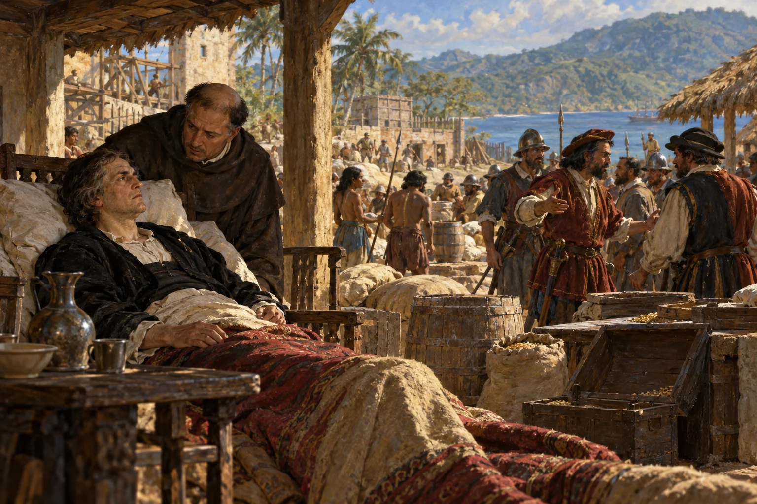
Columbus returns from Cuba and Jamaica seriously ill. He remains on Hispaniola while shortages, disputes and violence deepen the colony’s troubles. The next Atlantic crossing will come in 1496, when he leaves to report to his royal sponsors.
AI-generated reconstruction for Histlas, 2026. People, ships and settings are illustrative, not eyewitness records or exact likenesses.
Columbus leaves Hispaniola with Niña and a second caravel, India. Seventeen ships had sailed out from Spain; just two now carry this returning group. Adverse winds make the eastward passage slow, and provisions begin to run short before the ocean crossing.
Preparing supplies at Guadeloupe — AI-generated reconstruction made for Histlas, 2026. People, vessels and settings are illustrative, not an eyewitness record or exact likeness.
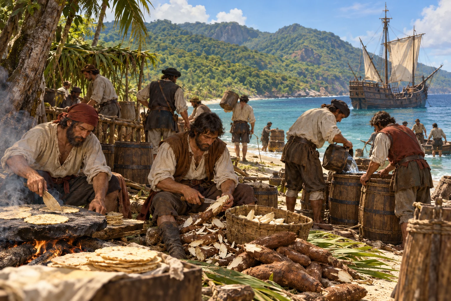
The ships reach Guadeloupe in search of food and water. The stop brings armed conflict with the islanders, as well as supplies for the passage. The crews prepare cassava bread and replenish water before attempting the long journey to Spain.
AI-generated reconstruction for Histlas, 2026. People, ships and settings are illustrative, not eyewitness records or exact likenesses.
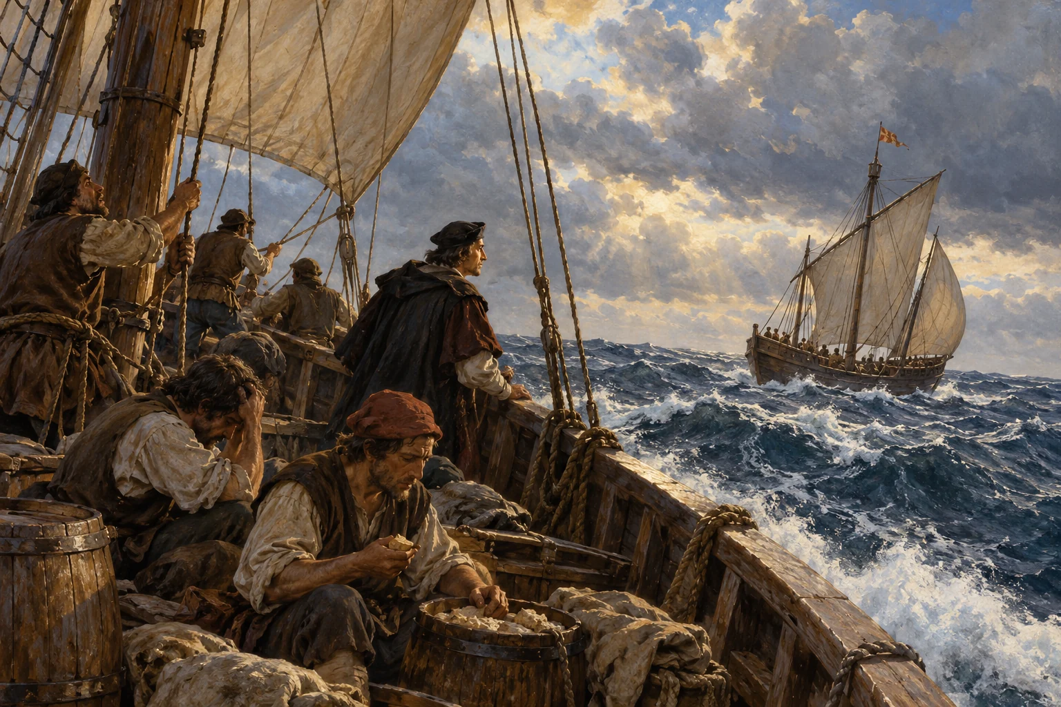
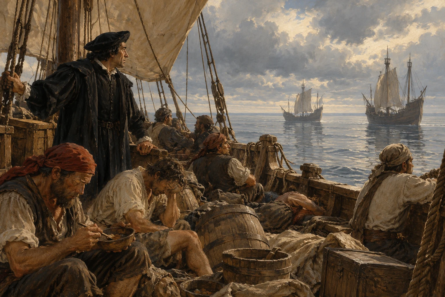
The caravels leave Guadeloupe. Headwinds and calms hinder their progress across the Atlantic. The ships are crowded, and each delay consumes more of their limited provisions. Reaching Europe is now a struggle with wind, distance and hunger.
AI-generated reconstruction for Histlas, 2026. People, ships and settings are illustrative, not eyewitness records or exact likenesses.
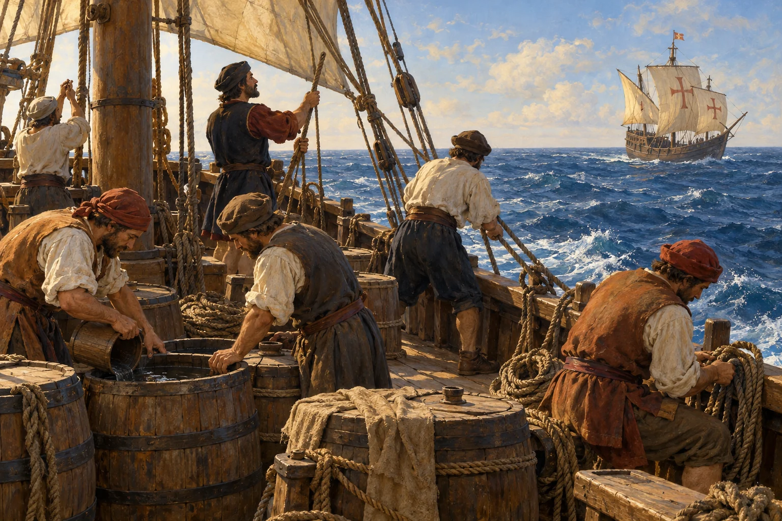
The Caribbean has fallen behind, but Europe remains beyond the horizon. Each day’s progress must be estimated from course and speed. The ships continue eastward through a passage that has already taken much longer than the confident outward crossing.
Historical dates and route context
Open-ocean position is an illustrative route estimate, not a recorded daily location.
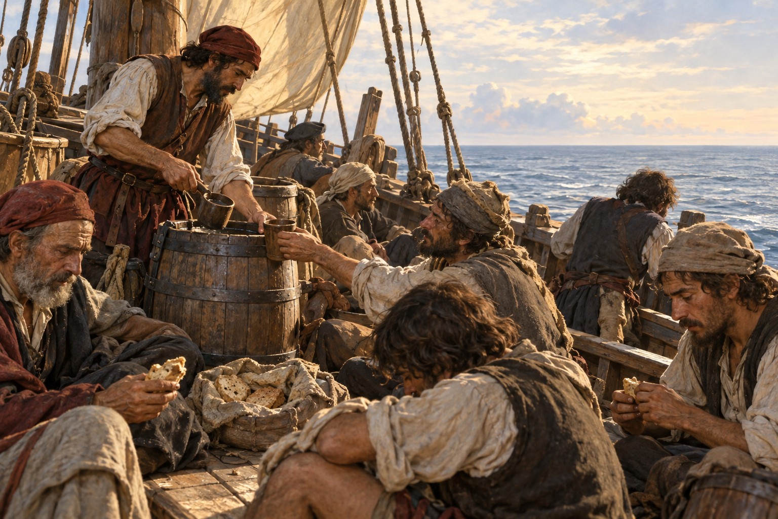
Rationing provisions on the 1496 return — AI-generated reconstruction made for Histlas, 2026. People, vessels and settings are illustrative, not an eyewitness record or exact likeness.
By late May, food is severely rationed. Ferdinand Columbus’s account describes a daily allowance of about six ounces of bread and very little water. The crowded caravels press on toward Europe, with hunger adding urgency to every remaining mile.
Historical dates and route context
Open-ocean position is an illustrative route estimate, not a recorded daily location.
AI-generated reconstruction for Histlas, 2026. People, ships and settings are illustrative, not eyewitness records or exact likenesses.
Land finally appears near Odemira on Portugal’s coast. After weeks of difficult sailing and dwindling provisions, the crews have reached familiar shores. They turn south around Cape Saint Vincent, then continue toward Cádiz, where the voyage will end three days later.
AI-generated reconstruction for Histlas, 2026. People, ships and settings are illustrative, not eyewitness records or exact likenesses.
Columbus returns to Cádiz. The second voyage has expanded European knowledge of the Caribbean, but settlement has brought enslavement, violence and disease. The effects on Indigenous people will extend far beyond the voyages.
AI-generated reconstruction for Histlas, 2026. People, ships and settings are illustrative, not eyewitness records or exact likenesses.
The third expedition leaves Sanlúcar de Barrameda. Columbus takes a route farther south, through Atlantic islands and toward the tropical western Atlantic.
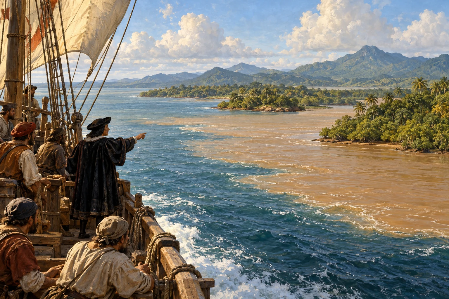
Trinidad and the Gulf of Paria — AI-generated reconstruction made for Histlas, 2026. People, vessels and settings are illustrative, not an eyewitness record or exact likeness.
Columbus reaches Trinidad. In the following days, he investigates the Gulf of Paria and the nearby South American coast. The scale of the fresh water flowing into the sea challenges his understanding of these lands.
AI-generated reconstruction for Histlas, 2026. People, ships and settings are illustrative, not eyewitness records or exact likenesses.
Columbus returns to Hispaniola to find unrest among Spanish settlers and growing criticism of his rule. Finding new coasts is only part of his task now. The colony’s disputes and his conduct as governor are catching up with him.
Columbus removed from power — AI-generated reconstruction made for Histlas, 2026. People, vessels and settings are illustrative, not an eyewitness record or exact likeness.
The crown sends Francisco de Bobadilla to investigate and take authority. Columbus is arrested and sent back to Spain. This journey home is made as a prisoner, rather than as the celebrated commander of his first return.
Historical dates and route context
October is used for this scene; the intermediate voyage position is approximate.
Caribbean detail of Juan de la Cosa’s chart, 1500. Crop by Hispalois; public domain. A later chart, not a map carried in 1492.
Columbus reaches Spain as a prisoner. The monarchs later release him, but his former governing powers are not restored. He will be allowed one more expedition, returning to his search for a passage toward Asia.
AI-generated reconstruction for Histlas, 2026. People, ships and settings are illustrative, not eyewitness records or exact likenesses.
Columbus departs Cádiz on his fourth voyage, seeking a passage toward Asia. His son Fernando accompanies him. This final expedition will take him along the Central American coast.
Historical dates and route context
Sources differ on the departure milestone in May; this story follows the atlas voyage record.
Following the Central American coast — AI-generated reconstruction made for Histlas, 2026. People, vessels and settings are illustrative, not an eyewitness record or exact likeness.
After crossing the Atlantic, Columbus reaches Guanaja off present-day Honduras. The expedition then follows the coast toward Nicaragua, Costa Rica and Panama, looking for a strait that does not exist here.
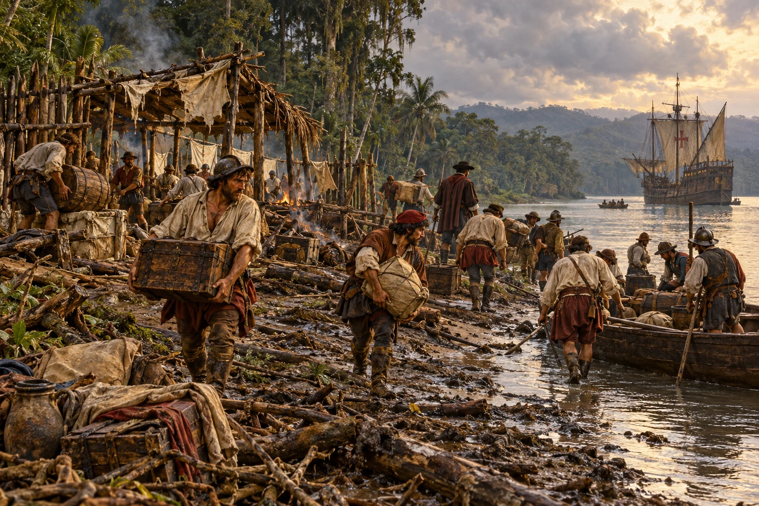
Abandoning the Belén River foothold — AI-generated reconstruction made for Histlas, 2026. People, vessels and settings are illustrative, not an eyewitness record or exact likeness.
The ships reach the Belén River in present-day Panama. Attempts to remain and establish a settlement fail amid conflict and difficult conditions. The expedition abandons the site and heads back toward the Caribbean islands.
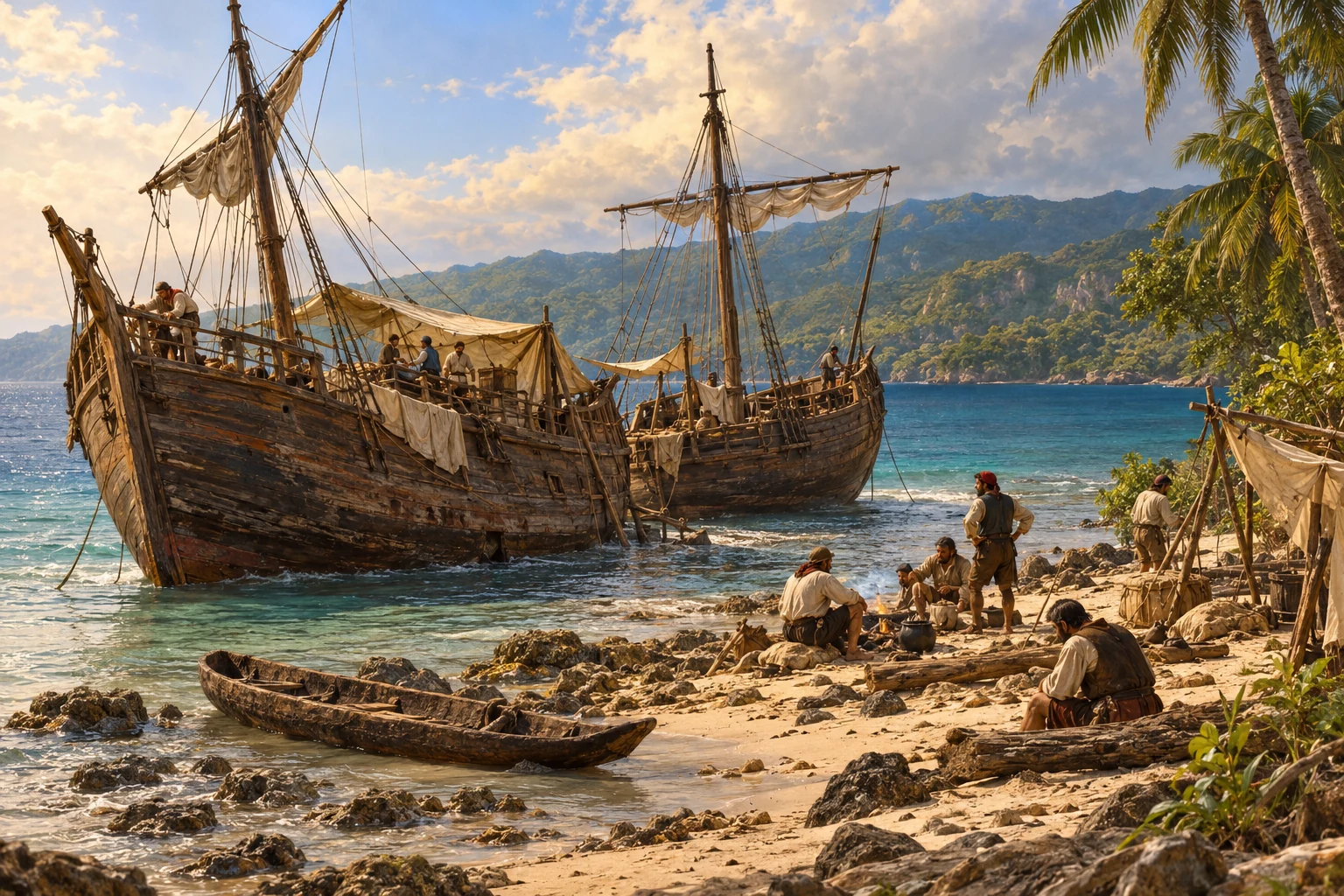
Two ships stranded on Jamaica — AI-generated reconstruction made for Histlas, 2026. People, vessels and settings are illustrative, not an eyewitness record or exact likeness.
The damaged ships can go no farther. Columbus and his men are stranded in Jamaica, depending on local communities for food. Messengers set out for Hispaniola to seek help. The wait will last roughly a year.
Historical dates and route context
Accounts place the beaching on 23–25 June. The atlas route uses 23 June; this story uses 25 June.
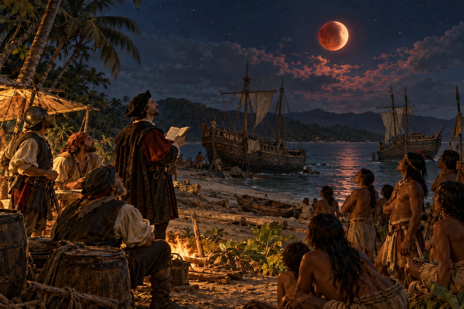
The lunar eclipse in Jamaica — AI-generated reconstruction made for Histlas, 2026. People, vessels and settings are illustrative, not an eyewitness record or exact likeness.
Months pass in Jamaica, and the stranded crew still needs food from Indigenous communities. When supplies are threatened, Columbus consults an almanac predicting a lunar eclipse.
On the evening of February twenty-ninth, the Moon darkens. He presents it as divine anger and pressures the islanders to keep feeding his men. The prediction comes from astronomical calculations. The ships remain stranded, and rescue is still months away.
Historical dates and route context
The date is the local evening in Jamaica. The eclipse continued into 1 March in universal time. This scene uses the atlas’s monthly precision.
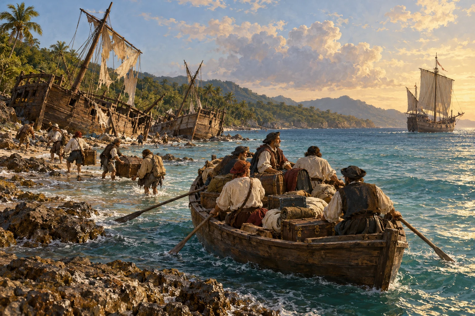
Rescue from Jamaica — AI-generated reconstruction made for Histlas, 2026. People, vessels and settings are illustrative, not an eyewitness record or exact likeness.
At last, rescue arrives. The survivors can leave Jamaica. Columbus travels through Santo Domingo, then sails across the Atlantic once more. This will be his final return to Spain.
AI-generated reconstruction for Histlas, 2026. People, ships and settings are illustrative, not eyewitness records or exact likenesses.
Columbus arrives at Sanlúcar de Barrameda. His four voyages have helped create lasting Atlantic connections and accelerate European colonisation. For Indigenous societies, the consequences include dispossession, forced labour, violence and devastating disease. Their histories and cultures continue beyond this story.