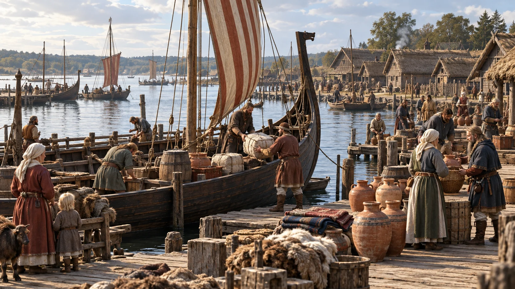
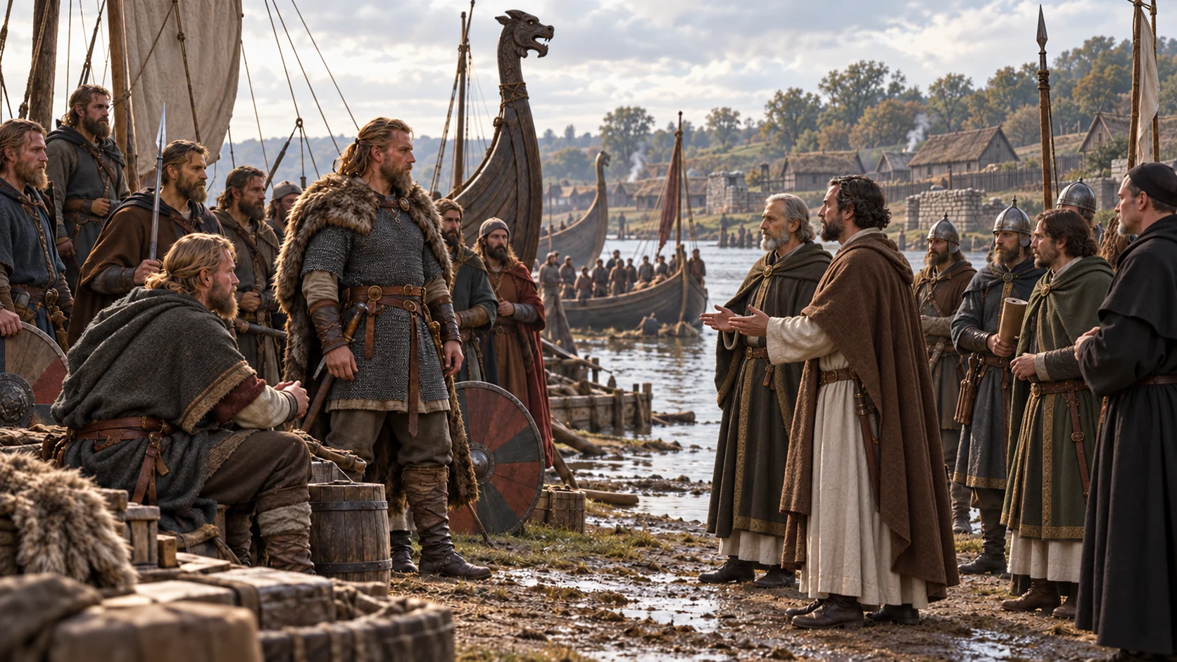
AI-generated historical reconstruction · Scandinavian seafarers loading a clinker-built ship beside Hedeby’s early waterfront. Illustrative setting, not a verified eyewitness view.
The Vikings were seafarers from Scandinavia who raided, traded and settled across a vast area between the late eighth and eleventh centuries. They were not one nation or a single invading army. Their ships connected northern Europe with the Atlantic islands and the river routes of the east. Beginning at Hedeby, a trading settlement near the Baltic, we will follow different communities whose expansion brought wealth, new homes and devastating violence to other people.
Historical dates and route context
Chronological overview of distinct Viking-age communities, raids, settlements and campaigns; not one person’s itinerary or a single continuous expedition. Year-only dates use editorial months and days for scene sequencing. Modern country outlines are location aids, not Viking-age borders. Images are illustrative AI reconstructions, not eyewitness evidence. Shading distinguishes selected Norse homelands, settlement zones and connected polities; it is not a map of one unified Viking empire. Raids and trade contacts alone do not create territorial possessions.
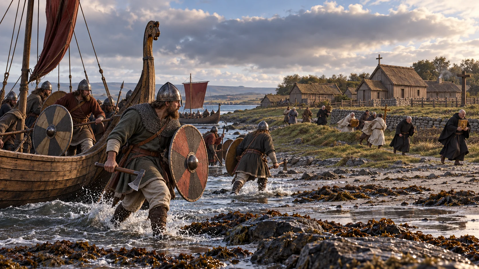
AI-generated historical reconstruction · Norse raiders beaching longships near the early medieval monastery of Lindisfarne. Illustrative setting, not a verified eyewitness view.
In 793, raiders strike the monastery on Lindisfarne, off the coast of northern England. The religious community has valuable possessions and little protection. The raid shocks Christian writers, whose accounts preserve the victims’ fear and outrage. Fast, shallow-draught ships give attackers choices about where to land and when to leave. This famous assault is a beginning in the surviving record, not the beginning of Scandinavian seafaring.
Historical dates and route context
Chronological overview of distinct Viking-age communities, raids, settlements and campaigns; not one person’s itinerary or a single continuous expedition. Year-only dates use editorial months and days for scene sequencing. Modern country outlines are location aids, not Viking-age borders. Images are illustrative AI reconstructions, not eyewitness evidence. The moving vessel illustrates only an offshore coastal approach. The raiders’ departure port and exact route are unknown; no Norwegian origin or exact individual ship is asserted. Shading distinguishes selected Norse homelands, settlement zones and connected polities; it is not a map of one unified Viking empire. Raids and trade contacts alone do not create territorial possessions.
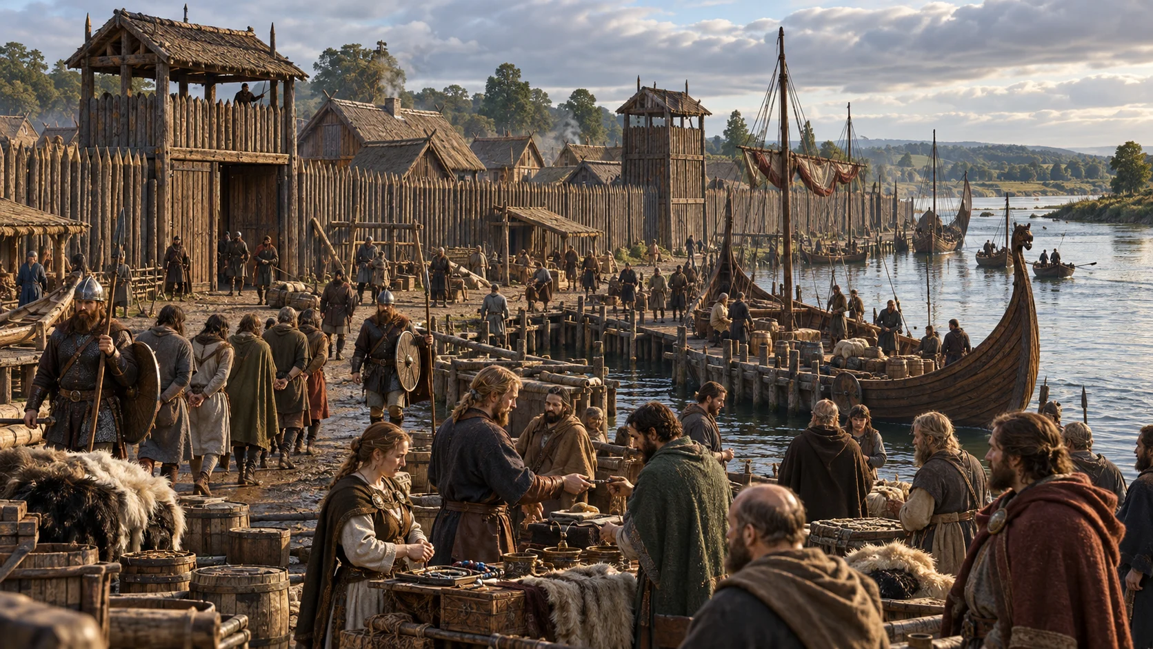
AI-generated historical reconstruction · Ninth-century Dublin waterfront with timber workshops, moored ships and local inhabitants. Illustrative setting, not a verified eyewitness view.
At Dublin in 841, Norse newcomers establish a fortified ship base beside an existing Irish settlement. Over time, the waterfront develops into an important trading town. Craftspeople work leather, metal and wood; ships bring connections across the Irish Sea and beyond. Trade also includes enslaved people, captured and sold in a violent economy. The new town grows within an inhabited landscape, where Irish rulers and Scandinavian leaders bargain, fight and form shifting alliances.
Historical dates and route context
Chronological overview of distinct Viking-age communities, raids, settlements and campaigns; not one person’s itinerary or a single continuous expedition. Year-only dates use editorial months and days for scene sequencing. Modern country outlines are location aids, not Viking-age borders. Images are illustrative AI reconstructions, not eyewitness evidence. Shading distinguishes selected Norse homelands, settlement zones and connected polities; it is not a map of one unified Viking empire. Raids and trade contacts alone do not create territorial possessions.
AI-generated historical reconstruction · Busy ninth-century Jorvik street with timber workshops and traders. Illustrative setting, not a verified eyewitness view.
York falls to a Viking army in 866. The city becomes a centre of Scandinavian rule in northern England, known as Jorvik. Conquest changes who commands the town, but daily life also depends on skilled work and exchange. Excavated streets reveal workshops, homes and goods linking York with a much wider world. English and Scandinavian communities now live alongside the struggle for political power.
Historical dates and route context
Chronological overview of distinct Viking-age communities, raids, settlements and campaigns; not one person’s itinerary or a single continuous expedition. Year-only dates use editorial months and days for scene sequencing. Modern country outlines are location aids, not Viking-age borders. Images are illustrative AI reconstructions, not eyewitness evidence. Shading distinguishes selected Norse homelands, settlement zones and connected polities; it is not a map of one unified Viking empire. Raids and trade contacts alone do not create territorial possessions.
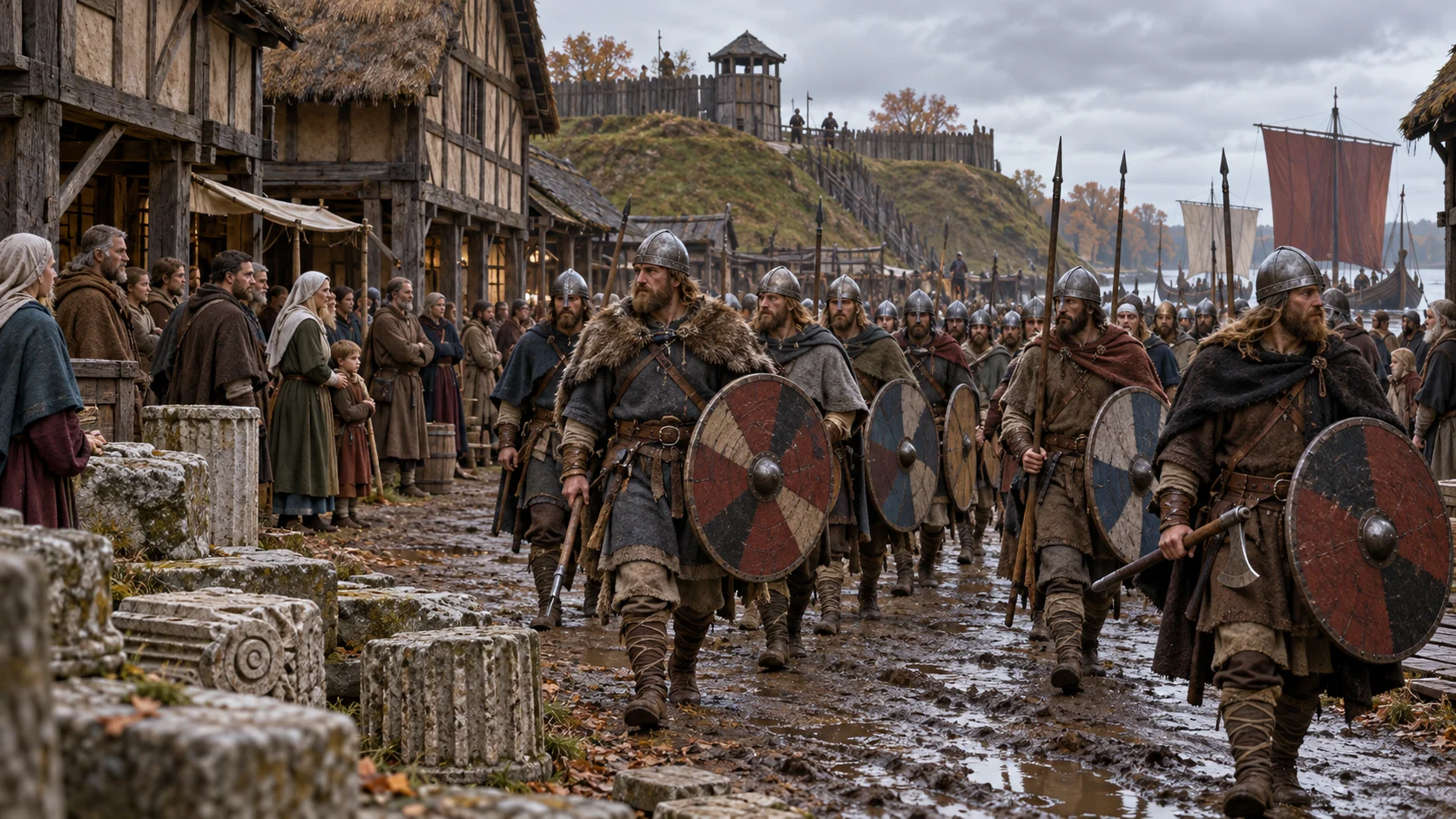
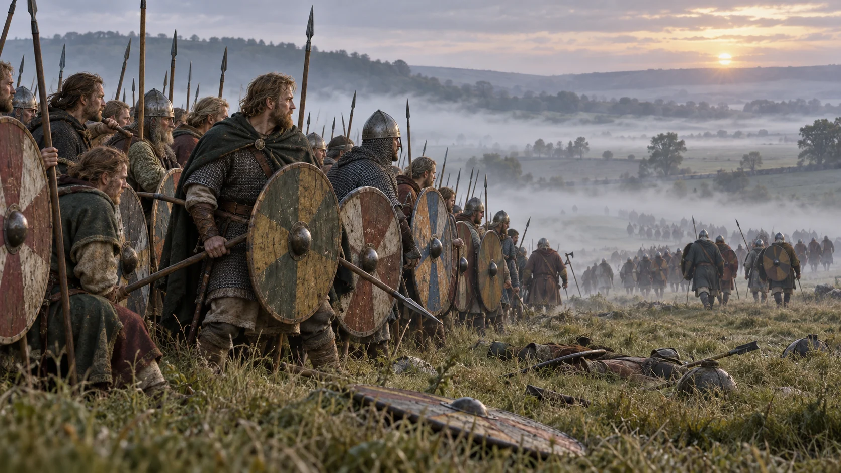
AI-generated historical reconstruction · West Saxon and Scandinavian shield formations in the Wiltshire landscape, 878. Illustrative setting, not a verified eyewitness view.
In 878, King Alfred of Wessex defeats Guthrum’s army at Edington. The victory helps preserve an English kingdom after years of invasion and uncertainty. Guthrum subsequently accepts baptism, and agreements begin to define relations between rival rulers. Scandinavian settlement in England continues; one battle does not undo it. The outcome shows that expansion is negotiated as well as fought, creating new political boundaries and communities rather than a single, uninterrupted conquest.
Historical dates and route context
Chronological overview of distinct Viking-age communities, raids, settlements and campaigns; not one person’s itinerary or a single continuous expedition. Year-only dates use editorial months and days for scene sequencing. Modern country outlines are location aids, not Viking-age borders. Images are illustrative AI reconstructions, not eyewitness evidence. Shading distinguishes selected Norse homelands, settlement zones and connected polities; it is not a map of one unified Viking empire. Raids and trade contacts alone do not create territorial possessions.
AI-generated historical reconstruction · Early tenth-century Rouen beside the Seine, with timber buildings and ships. Illustrative setting, not a verified eyewitness view.
Along the lower Seine, Scandinavian settlement takes another form. In 911, the Frankish king reaches an agreement with the leader Rollo, traditionally associated with the beginnings of Normandy. Rouen becomes a centre of the new territory. Landholding, Christian conversion and royal recognition help turn former outsiders into local rulers. Their descendants adopt their neighbours’ language and customs, while building a powerful principality.
Historical dates and route context
Chronological overview of distinct Viking-age communities, raids, settlements and campaigns; not one person’s itinerary or a single continuous expedition. Year-only dates use editorial months and days for scene sequencing. Modern country outlines are location aids, not Viking-age borders. Images are illustrative AI reconstructions, not eyewitness evidence. Shading distinguishes selected Norse homelands, settlement zones and connected polities; it is not a map of one unified Viking empire. Raids and trade contacts alone do not create territorial possessions.
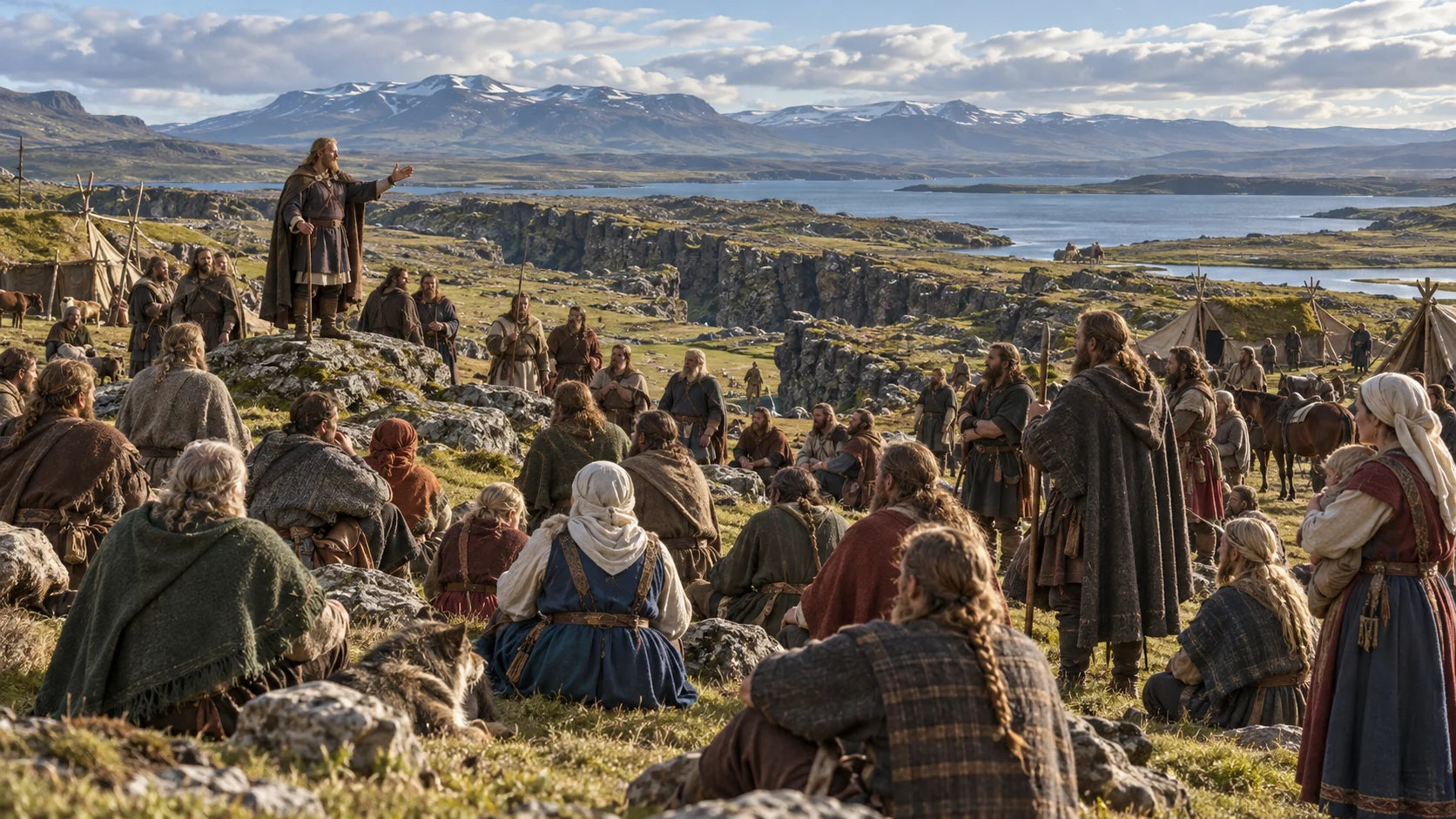
AI-generated historical reconstruction · Tenth-century outdoor assembly at Thingvellir, with people gathered beneath the rift cliffs. Illustrative setting, not a verified eyewitness view.
In Iceland, settlers arriving from the late ninth century establish farms in a landscape of volcanic rock, pasture and harsh winters. Many come through the Norse communities of the North Atlantic, bringing people of different origins. Around 930, an assembly called the Althing is established at Thingvellir. Here, law and disputes become public business. Settlement creates new institutions, but it also transforms the environment as woodland is cleared and grazing animals reshape the land.
Historical dates and route context
Chronological overview of distinct Viking-age communities, raids, settlements and campaigns; not one person’s itinerary or a single continuous expedition. Year-only dates use editorial months and days for scene sequencing. Modern country outlines are location aids, not Viking-age borders. Images are illustrative AI reconstructions, not eyewitness evidence. Shading distinguishes selected Norse homelands, settlement zones and connected polities; it is not a map of one unified Viking empire. Raids and trade contacts alone do not create territorial possessions.
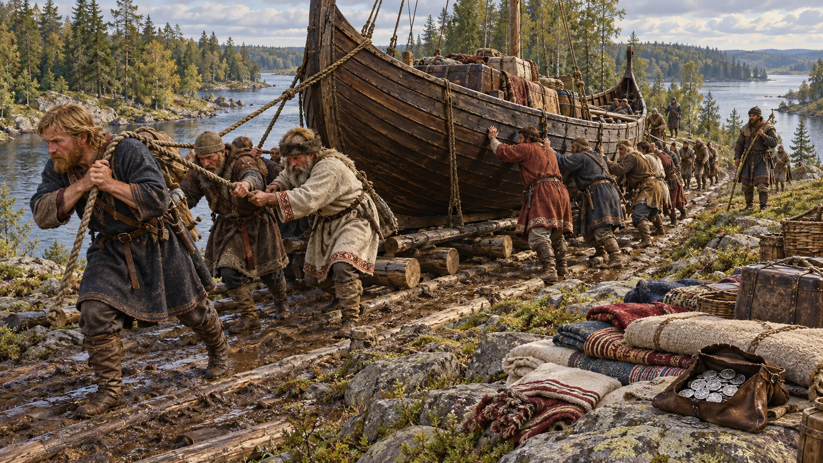
AI-generated historical reconstruction · River traders unloading a small vessel for a portage in the tenth-century eastern European landscape. Illustrative setting, not a verified eyewitness view.
Eastward, Birka and Ladoga belong to networks reaching through Novgorod and Kyiv towards Constantinople. Scandinavian travellers join Slavic, Finnic and other communities in trade and political life. Rivers carry boats deep inland, but watersheds and rapids can require unloading and hauling vessels overland. Silver, furs and enslaved people move through these connections. The emerging Rus’ world has Scandinavian links, yet it cannot be understood as a distant colony belonging to one modern Nordic country.
Historical dates and route context
Chronological overview of distinct Viking-age communities, raids, settlements and campaigns; not one person’s itinerary or a single continuous expedition. Year-only dates use editorial months and days for scene sequencing. Modern country outlines are location aids, not Viking-age borders. Images are illustrative AI reconstructions, not eyewitness evidence. Shading distinguishes selected Norse homelands, settlement zones and connected polities; it is not a map of one unified Viking empire. Raids and trade contacts alone do not create territorial possessions.
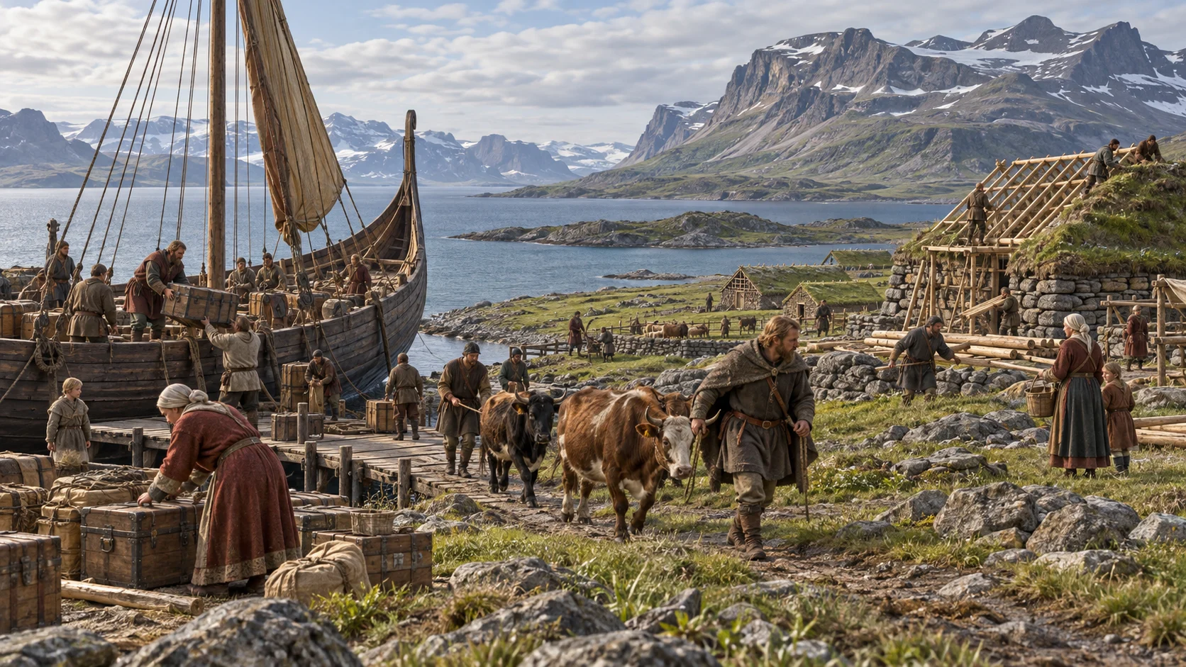
AI-generated historical reconstruction · Norse settlers arriving with livestock and supplies in a sheltered Greenland fjord. Illustrative setting, not a verified eyewitness view.
Farther west, Norse settlers establish communities in Greenland around 985 or 986, associated in later accounts with Erik the Red. Brattahlid becomes one of the best-known farm sites. Sheltered fjords offer pasture, while hunting and overseas exchange supplement farming. An ocean crossing does not create an empty world: Greenland has a much longer Indigenous history. Survival depends on local resources and fragile overseas links.
Historical dates and route context
Chronological overview of distinct Viking-age communities, raids, settlements and campaigns; not one person’s itinerary or a single continuous expedition. Year-only dates use editorial months and days for scene sequencing. Modern country outlines are location aids, not Viking-age borders. Images are illustrative AI reconstructions, not eyewitness evidence. Animated sea corridor is schematic and independently reconstructed, not an attested itinerary, departure point, landfall or sailing duration. Each scene holds its historical context date while narration controls movement. Endpoints are offshore approaches rather than the farm and settlement coordinates. The Greenland passage represents migration from Iceland; the Newfoundland passage represents a separate westward voyage from Greenland. Shading distinguishes selected Norse homelands, settlement zones and connected polities; it is not a map of one unified Viking empire. Raids and trade contacts alone do not create territorial possessions.
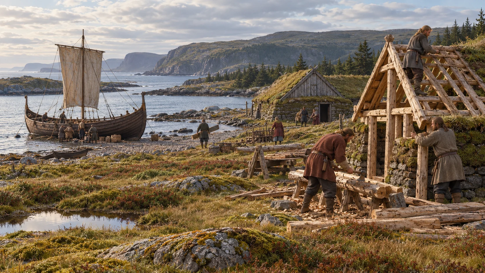
AI-generated historical reconstruction · Norse voyagers approaching northern Newfoundland in a broad clinker-built sailing ship. Illustrative setting, not a verified eyewitness view.
Around the year 1000, Norse voyagers reach lands west of Greenland. Later sagas associate these journeys with Leif Eriksson and describe a region called Vinland, but their details cannot all be placed securely on a map. At Newfoundland’s northern tip, L’Anse aux Meadows provides archaeological proof of a Norse presence. The voyagers reach an inhabited continent, not an undiscovered empty land. Their small foothold will leave traces rather than become a lasting Scandinavian colony.
Historical dates and route context
Chronological overview of distinct Viking-age communities, raids, settlements and campaigns; not one person’s itinerary or a single continuous expedition. Year-only dates use editorial months and days for scene sequencing. Modern country outlines are location aids, not Viking-age borders. Images are illustrative AI reconstructions, not eyewitness evidence. Animated sea corridor is schematic and independently reconstructed, not an attested itinerary, departure point, landfall or sailing duration. Each scene holds its historical context date while narration controls movement. Endpoints are offshore approaches rather than the farm and settlement coordinates. The Greenland passage represents migration from Iceland; the Newfoundland passage represents a separate westward voyage from Greenland. Shading distinguishes selected Norse homelands, settlement zones and connected polities; it is not a map of one unified Viking empire. Raids and trade contacts alone do not create territorial possessions.
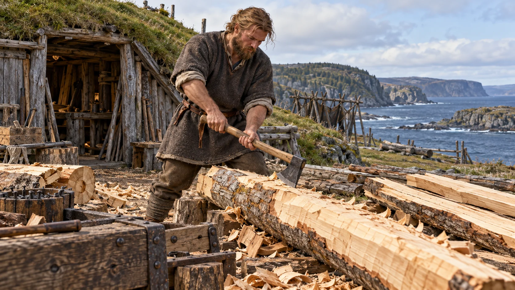
AI-generated historical reconstruction · Norse workers cutting timber beside turf buildings at L’Anse aux Meadows. Illustrative setting, not a verified eyewitness view.
At L’Anse aux Meadows, a remarkable scientific date sharpens the story. Researchers identify wood cut with metal tools in the year 1021, using tree rings and a radiocarbon signal left by a solar event. This establishes Norse activity here in that year. It does not identify the first landing, name the people who cut the trees or prove every episode in the sagas. Archaeology gives a firm point within a much less certain sequence of voyages.
Historical dates and route context
Chronological overview of distinct Viking-age communities, raids, settlements and campaigns; not one person’s itinerary or a single continuous expedition. Year-only dates use editorial months and days for scene sequencing. Modern country outlines are location aids, not Viking-age borders. Images are illustrative AI reconstructions, not eyewitness evidence. Shading distinguishes selected Norse homelands, settlement zones and connected polities; it is not a map of one unified Viking empire. Raids and trade contacts alone do not create territorial possessions.
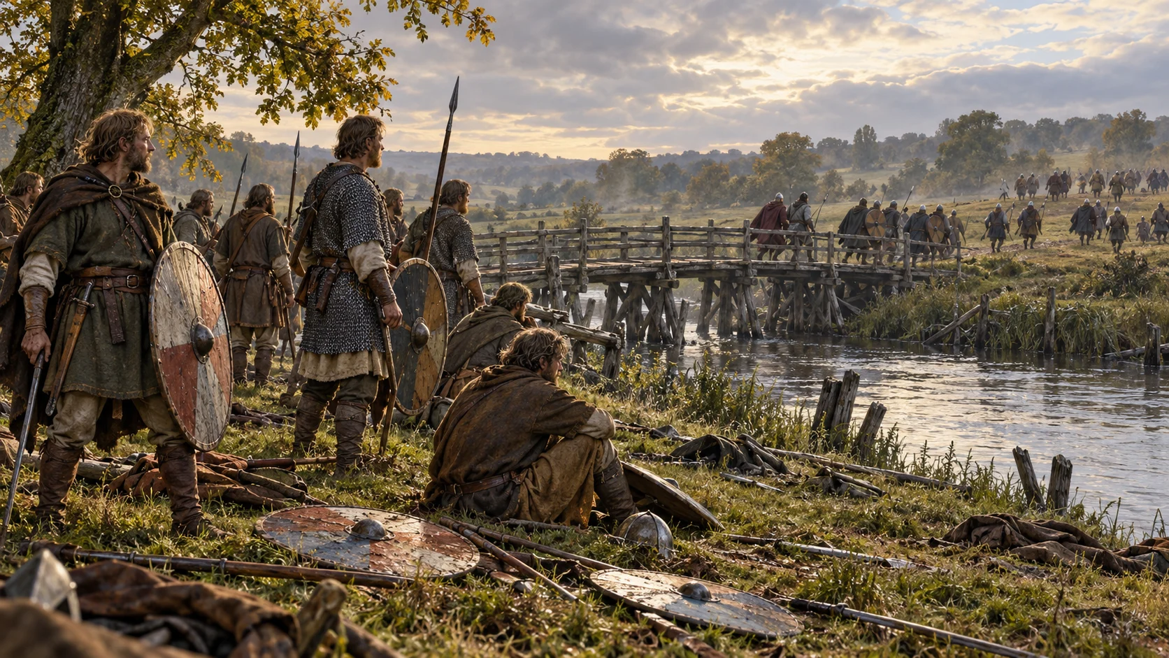
AI-generated historical reconstruction · English and Norwegian forces confronting one another near the river at Stamford Bridge in 1066. Illustrative setting, not a verified eyewitness view.
In 1066, Harald Hardrada’s Norwegian invasion ends in defeat at Stamford Bridge, near York. The English king Harold Godwinson wins the battle; Hardrada is killed. This is often used as a closing landmark for the Viking Age, although Scandinavian travel and influence do not suddenly stop. Across nearly three centuries, migration, trade and conquest have reshaped societies from the eastern rivers to Newfoundland, transforming the worlds of newcomers and established communities alike.
Historical dates and route context
Chronological overview of distinct Viking-age communities, raids, settlements and campaigns; not one person’s itinerary or a single continuous expedition. Year-only dates use editorial months and days for scene sequencing. Modern country outlines are location aids, not Viking-age borders. Images are illustrative AI reconstructions, not eyewitness evidence. Shading distinguishes selected Norse homelands, settlement zones and connected polities; it is not a map of one unified Viking empire. Raids and trade contacts alone do not create territorial possessions. The territorial overview closes at its conventional 1066 period boundary, not because all Norse settlements disappeared.