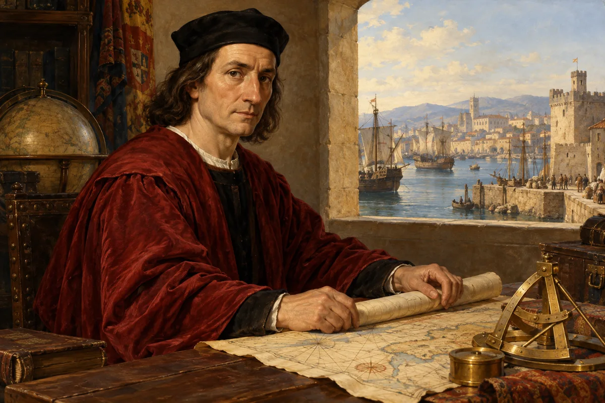
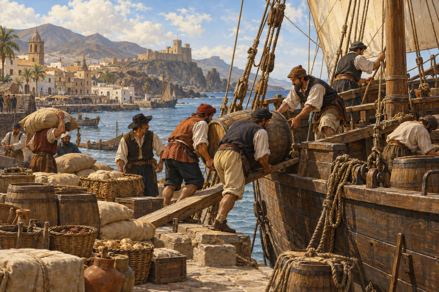
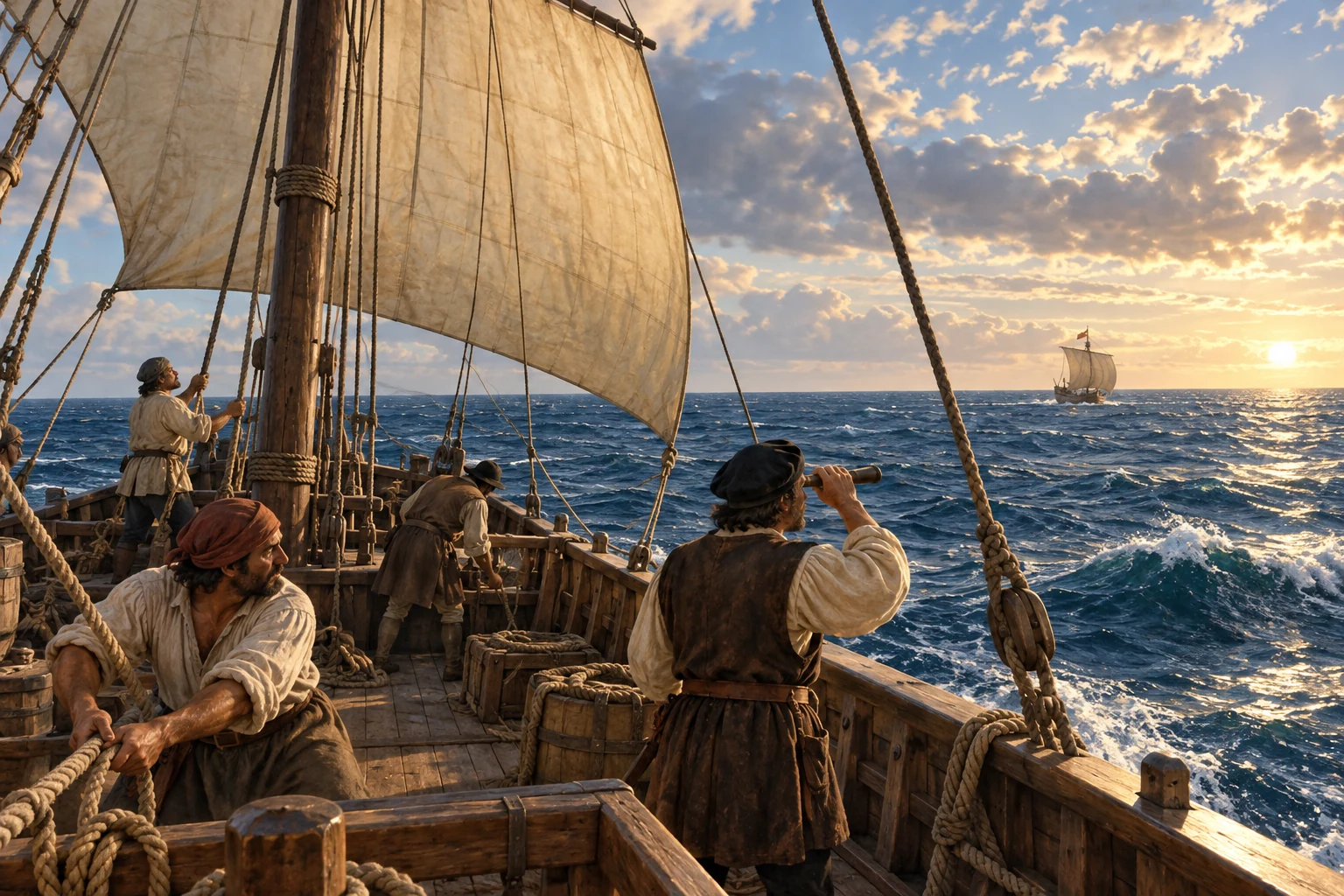
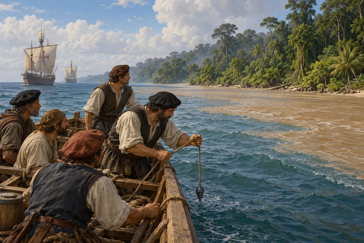
AI-generated illustrative reconstruction for Histlas, 2026. People, vessels and settings are representative, not eyewitness records or verified likenesses.
Amerigo Vespucci was a Florentine merchant who became an Atlantic voyager around the year fifteen hundred. Sailing for Spain and Portugal, he helped bring European attention to lands that were already home to many Indigenous peoples. Letters bearing his name argued that these shores belonged to a world beyond Asia. We will follow his two better-documented expeditions, then discover how a mapmaker’s decision attached his name to America.
Historical dates and route context
The two better-documented expeditions of 1499–1500 and 1501–1502 reuse Histlas’s shared Exploration routes. Fleet branches are simplified; the first route is not a complete individual ship track. Most intermediate days and corridors are editorial reconstructions. The southern limit of the Portuguese voyage and its homeward course remain disputed; the offshore southern point does not establish a visit to the Río de la Plata or Patagonia. No animated route is asserted for the disputed 1497–1498 or 1503–1504 voyages. Modern country boundaries do not imply contemporary sovereignty.
AI-generated illustrative reconstruction for Histlas, 2026. People, vessels and settings are representative, not eyewitness records or verified likenesses. Existing Histlas reconstruction reused as period context.
In May fourteen ninety-nine, Vespucci leaves Cádiz with an expedition commanded by Alonso de Ojeda. Juan de la Cosa brings experience as a pilot. Vespucci has already worked in the business of supplying ships; now he will face the ocean himself. His precise duties remain debated. This is a venture in exploration and profit, with several vessels and ambitions that will not always keep their crews together.
Historical dates and route context
The two better-documented expeditions of 1499–1500 and 1501–1502 reuse Histlas’s shared Exploration routes. Fleet branches are simplified; the first route is not a complete individual ship track. Most intermediate days and corridors are editorial reconstructions. The southern limit of the Portuguese voyage and its homeward course remain disputed; the offshore southern point does not establish a visit to the Río de la Plata or Patagonia. No animated route is asserted for the disputed 1497–1498 or 1503–1504 voyages. Modern country boundaries do not imply contemporary sovereignty.
AI-generated illustrative reconstruction for Histlas, 2026. People, vessels and settings are representative, not eyewitness records or verified likenesses. Existing Histlas reconstruction reused as period context.
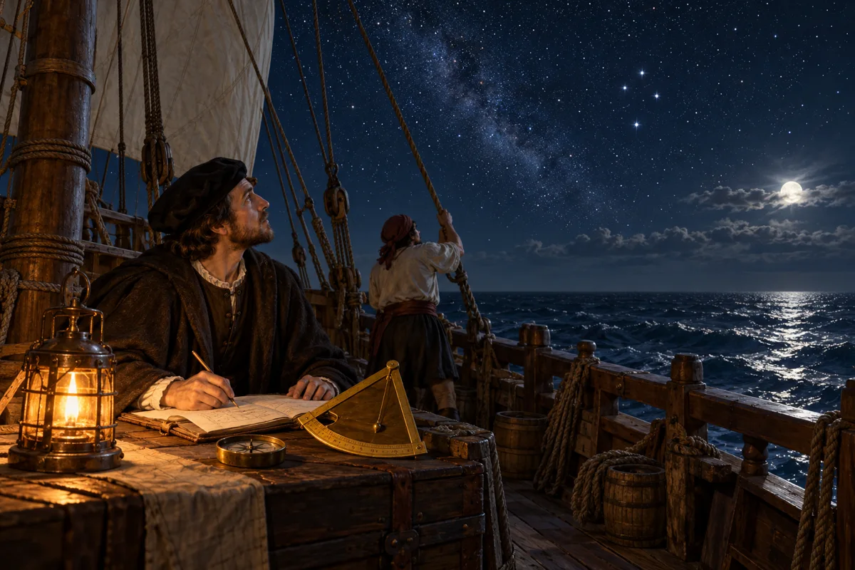
Ahead lies the northern coast of South America. A sailing ship’s course depends on winds and currents as well as the wishes of its commander. To estimate position, navigators combine observation of the sky with their reckoning of direction and distance. Instruments can help measure latitude, but a rolling deck makes careful observation difficult. Even a confident line on a chart can conceal uncertainty. The land they approach will challenge the geography with which they began.
Historical dates and route context
The two better-documented expeditions of 1499–1500 and 1501–1502 reuse Histlas’s shared Exploration routes. Fleet branches are simplified; the first route is not a complete individual ship track. Most intermediate days and corridors are editorial reconstructions. The southern limit of the Portuguese voyage and its homeward course remain disputed; the offshore southern point does not establish a visit to the Río de la Plata or Patagonia. No animated route is asserted for the disputed 1497–1498 or 1503–1504 voyages. Modern country boundaries do not imply contemporary sovereignty.
AI-generated illustrative reconstruction for Histlas, 2026. People, vessels and settings are representative, not eyewitness records or verified likenesses.
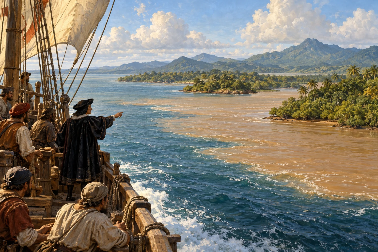
The ships reach the Guianas coast, where forests and great rivers meet the Atlantic. The expedition divides. Accounts describe Vespucci exploring farther southeast while Ojeda’s vessels work towards Venezuela. These movements are difficult to reconstruct as a single itinerary. Fresh water carried far out from a great river impresses Vespucci: the continent announces itself even beyond the shoreline. Following a coast can reveal its extent, but it does not immediately explain where that coast belongs in the world.
Historical dates and route context
The two better-documented expeditions of 1499–1500 and 1501–1502 reuse Histlas’s shared Exploration routes. Fleet branches are simplified; the first route is not a complete individual ship track. Most intermediate days and corridors are editorial reconstructions. The southern limit of the Portuguese voyage and its homeward course remain disputed; the offshore southern point does not establish a visit to the Río de la Plata or Patagonia. No animated route is asserted for the disputed 1497–1498 or 1503–1504 voyages. Modern country boundaries do not imply contemporary sovereignty.
AI-generated illustrative reconstruction for Histlas, 2026. People, vessels and settings are representative, not eyewitness records or verified likenesses. Existing Histlas reconstruction reused as period context.
Along the Venezuelan coast, encounters depend on the choices of people already living there. Visitors seek supplies and opportunities; coastal communities decide whether to welcome, resist or avoid them. Vespucci’s accounts include attempts to capture Indigenous people. These voyages carry coercion alongside curiosity. The homeward journey leads through Hispaniola, where Spain has established a colony. After the Caribbean, the ships must cross the Atlantic again. Returning safely is a separate navigational challenge from arriving in an unfamiliar land.
Historical dates and route context
The two better-documented expeditions of 1499–1500 and 1501–1502 reuse Histlas’s shared Exploration routes. Fleet branches are simplified; the first route is not a complete individual ship track. Most intermediate days and corridors are editorial reconstructions. The southern limit of the Portuguese voyage and its homeward course remain disputed; the offshore southern point does not establish a visit to the Río de la Plata or Patagonia. No animated route is asserted for the disputed 1497–1498 or 1503–1504 voyages. Modern country boundaries do not imply contemporary sovereignty.
AI-generated illustrative reconstruction for Histlas, 2026. People, vessels and settings are representative, not eyewitness records or verified likenesses. Existing Histlas reconstruction reused as period context.
Cádiz lies ahead, beyond another stretch of open water. A voyage returns with memories, written observations and questions as well as any cargo. Vespucci’s account of the northern South American coast still belongs to an age when Europeans struggle to connect new shorelines with inherited maps of Asia. The significance of what he has seen will emerge through further travel and through writing. Reaching home closes this crossing, but it does not settle the argument about the world’s geography.
Historical dates and route context
The two better-documented expeditions of 1499–1500 and 1501–1502 reuse Histlas’s shared Exploration routes. Fleet branches are simplified; the first route is not a complete individual ship track. Most intermediate days and corridors are editorial reconstructions. The southern limit of the Portuguese voyage and its homeward course remain disputed; the offshore southern point does not establish a visit to the Río de la Plata or Patagonia. No animated route is asserted for the disputed 1497–1498 or 1503–1504 voyages. Modern country boundaries do not imply contemporary sovereignty.
AI-generated illustrative reconstruction for Histlas, 2026. People, vessels and settings are representative, not eyewitness records or verified likenesses.
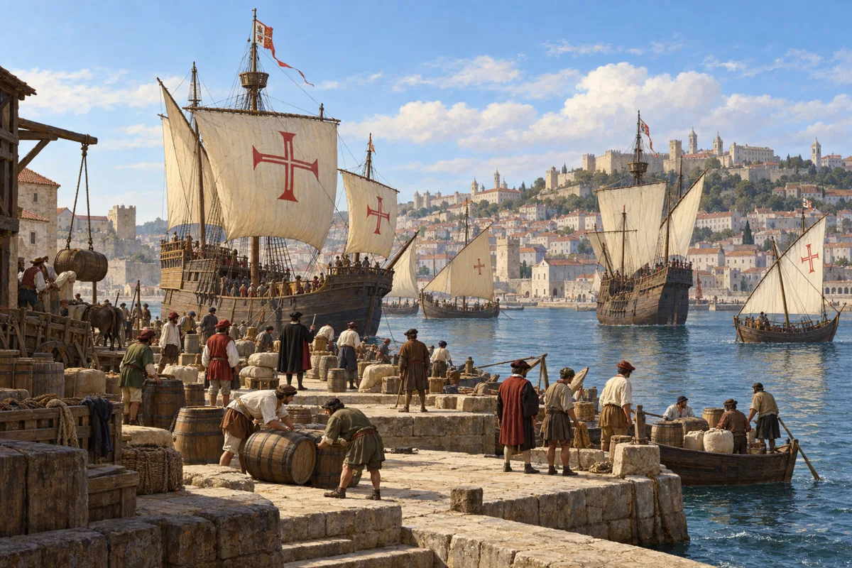
Back in Spain, Vespucci has become an experienced Atlantic traveller. His earlier life in Florence and Seville connects him to merchants, patrons and the circulation of information. His next expedition will leave from Lisbon under Portuguese authority. Spain and Portugal have agreed on a dividing line across the Atlantic at Tordesillas, but their agreement does not give them the consent of the peoples whose lands they claim. Knowledge of a coastline has become entangled with imperial competition.
Historical dates and route context
The two better-documented expeditions of 1499–1500 and 1501–1502 reuse Histlas’s shared Exploration routes. Fleet branches are simplified; the first route is not a complete individual ship track. Most intermediate days and corridors are editorial reconstructions. The southern limit of the Portuguese voyage and its homeward course remain disputed; the offshore southern point does not establish a visit to the Río de la Plata or Patagonia. No animated route is asserted for the disputed 1497–1498 or 1503–1504 voyages. Modern country boundaries do not imply contemporary sovereignty.
AI-generated illustrative reconstruction for Histlas, 2026. People, vessels and settings are representative, not eyewitness records or verified likenesses.
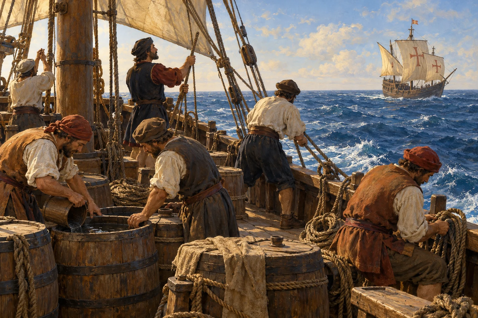
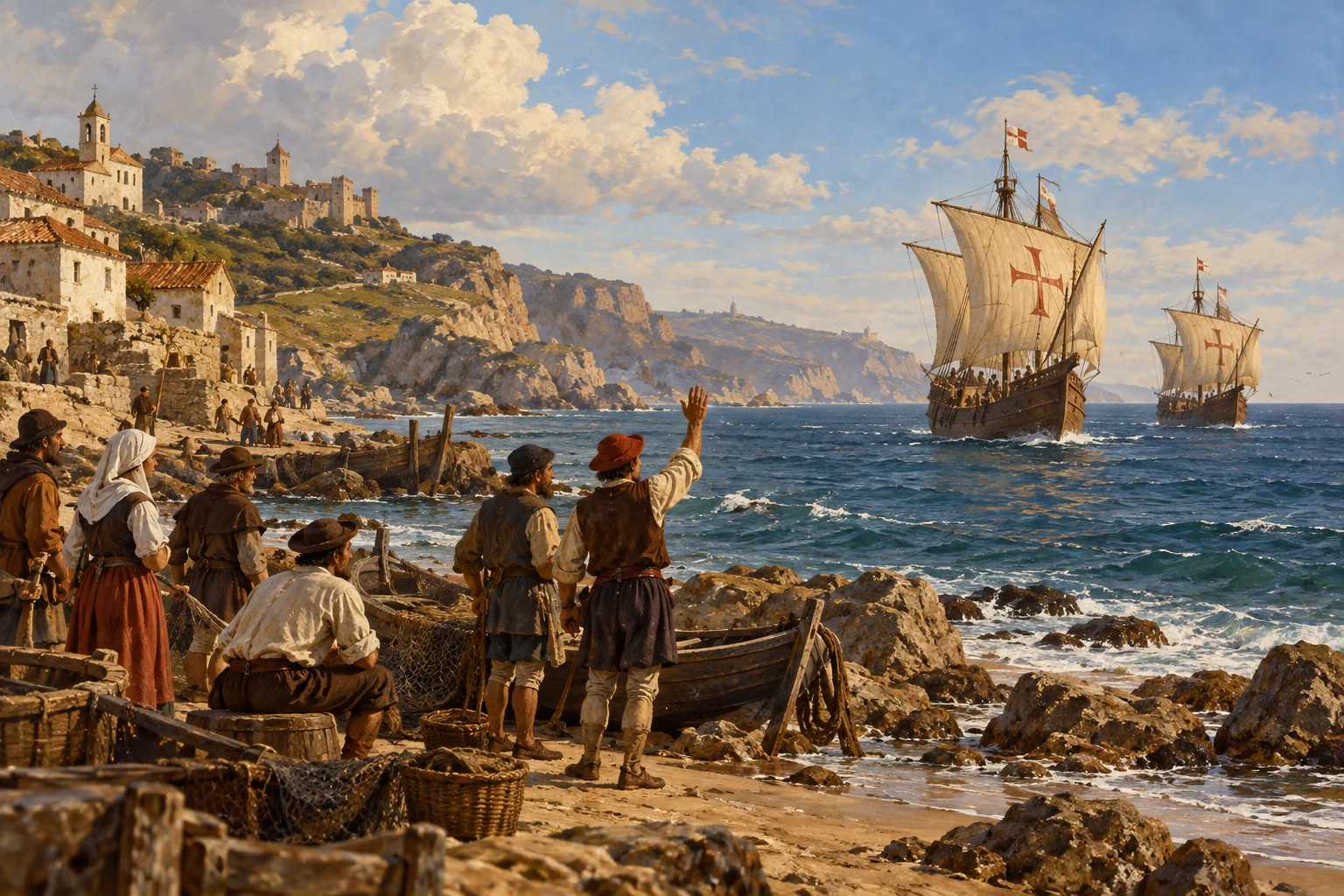
In May fifteen hundred and one, Vespucci sails from Lisbon on a Portuguese expedition. Brazil has already been reached by Pedro Álvares Cabral’s fleet the previous year. Portugal now wants a clearer understanding of the land and its coasts. The ships head towards the waters off West Africa before crossing towards Brazil. Water, wood and provisions matter as much as geographical ambition. The published account describes taking on supplies before committing the fleet to the long ocean passage.
Historical dates and route context
The two better-documented expeditions of 1499–1500 and 1501–1502 reuse Histlas’s shared Exploration routes. Fleet branches are simplified; the first route is not a complete individual ship track. Most intermediate days and corridors are editorial reconstructions. The southern limit of the Portuguese voyage and its homeward course remain disputed; the offshore southern point does not establish a visit to the Río de la Plata or Patagonia. No animated route is asserted for the disputed 1497–1498 or 1503–1504 voyages. Modern country boundaries do not imply contemporary sovereignty.
AI-generated illustrative reconstruction for Histlas, 2026. People, vessels and settings are representative, not eyewitness records or verified likenesses. Existing Histlas reconstruction reused as period context.
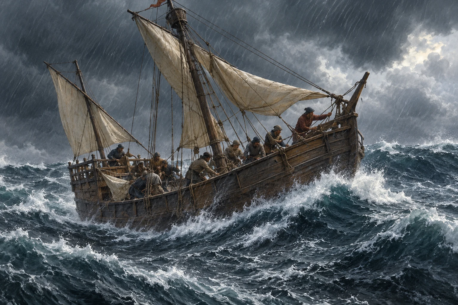
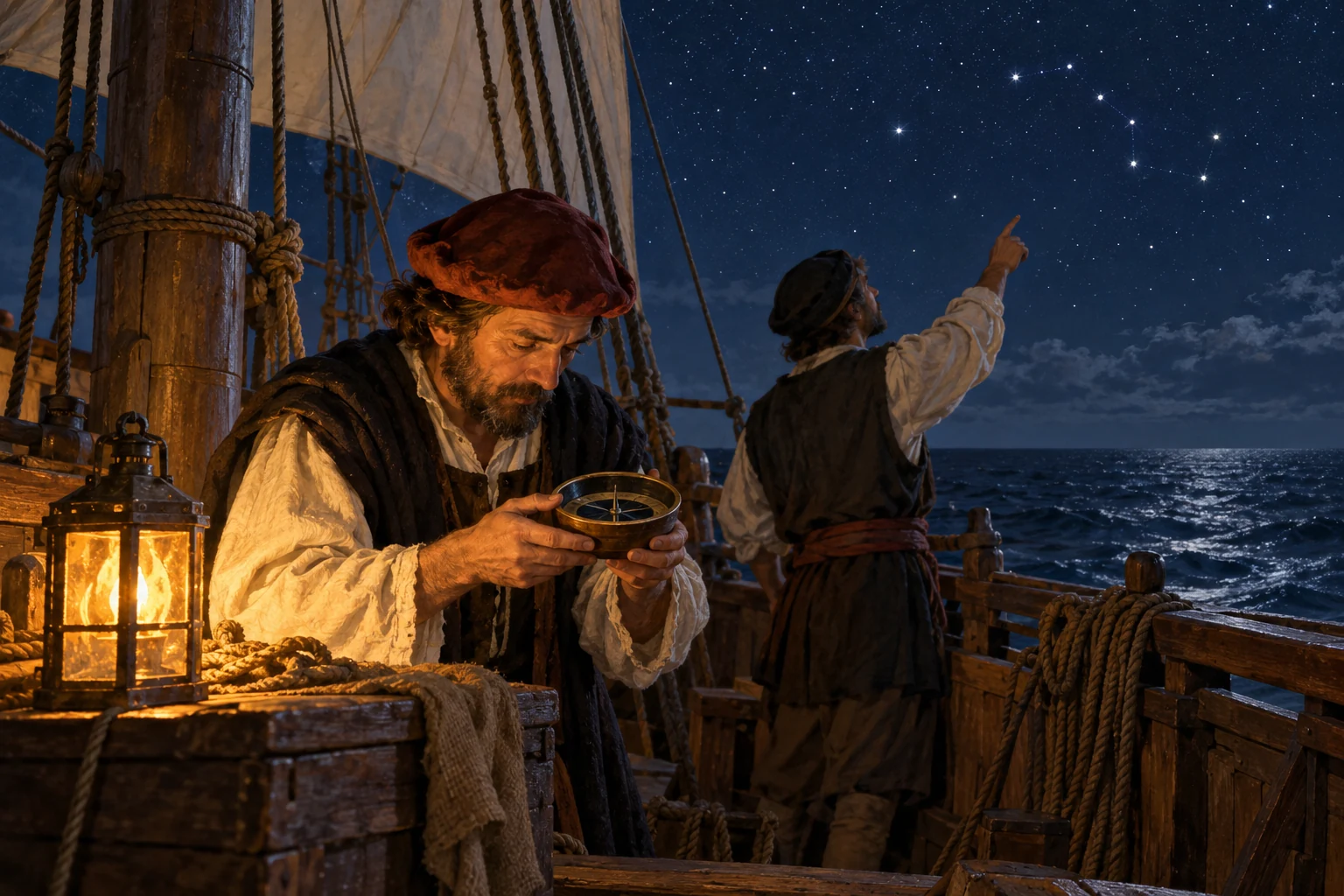
The account later published as Mundus Novus describes a difficult crossing, with persistent rain, thunder and darkness. It claims that the sailors sometimes could not see the Sun by day or a clear sky at night. Such conditions take away the observations on which navigation depends. Its dramatic numbers cannot all be accepted as a ship’s log, but the account makes the anxiety of the passage vivid. Brazil is ahead. Landfall will bring relief and an urgent need for fresh water and wood.
Historical dates and route context
The two better-documented expeditions of 1499–1500 and 1501–1502 reuse Histlas’s shared Exploration routes. Fleet branches are simplified; the first route is not a complete individual ship track. Most intermediate days and corridors are editorial reconstructions. The southern limit of the Portuguese voyage and its homeward course remain disputed; the offshore southern point does not establish a visit to the Río de la Plata or Patagonia. No animated route is asserted for the disputed 1497–1498 or 1503–1504 voyages. Modern country boundaries do not imply contemporary sovereignty.
AI-generated illustrative reconstruction for Histlas, 2026. People, vessels and settings are representative, not eyewitness records or verified likenesses.
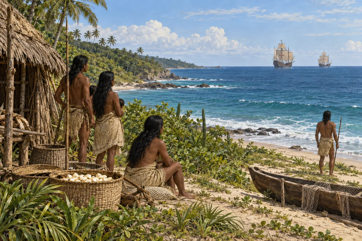
The ships reach northeastern Brazil and turn along the coast. Mundus Novus describes repeated landings and periods spent among local communities. Its author admires the abundance of people, animals and plants, yet repeatedly misunderstands societies through European expectations. Claims that people lack religion or government tell us more about the observer’s limits than about the absence of belief or authority. The coast is inhabited, known and used. It becomes new to European readers because their maps and books have not described it this way.
Historical dates and route context
The two better-documented expeditions of 1499–1500 and 1501–1502 reuse Histlas’s shared Exploration routes. Fleet branches are simplified; the first route is not a complete individual ship track. Most intermediate days and corridors are editorial reconstructions. The southern limit of the Portuguese voyage and its homeward course remain disputed; the offshore southern point does not establish a visit to the Río de la Plata or Patagonia. No animated route is asserted for the disputed 1497–1498 or 1503–1504 voyages. Modern country boundaries do not imply contemporary sovereignty.
AI-generated illustrative reconstruction for Histlas, 2026. People, vessels and settings are representative, not eyewitness records or verified likenesses.
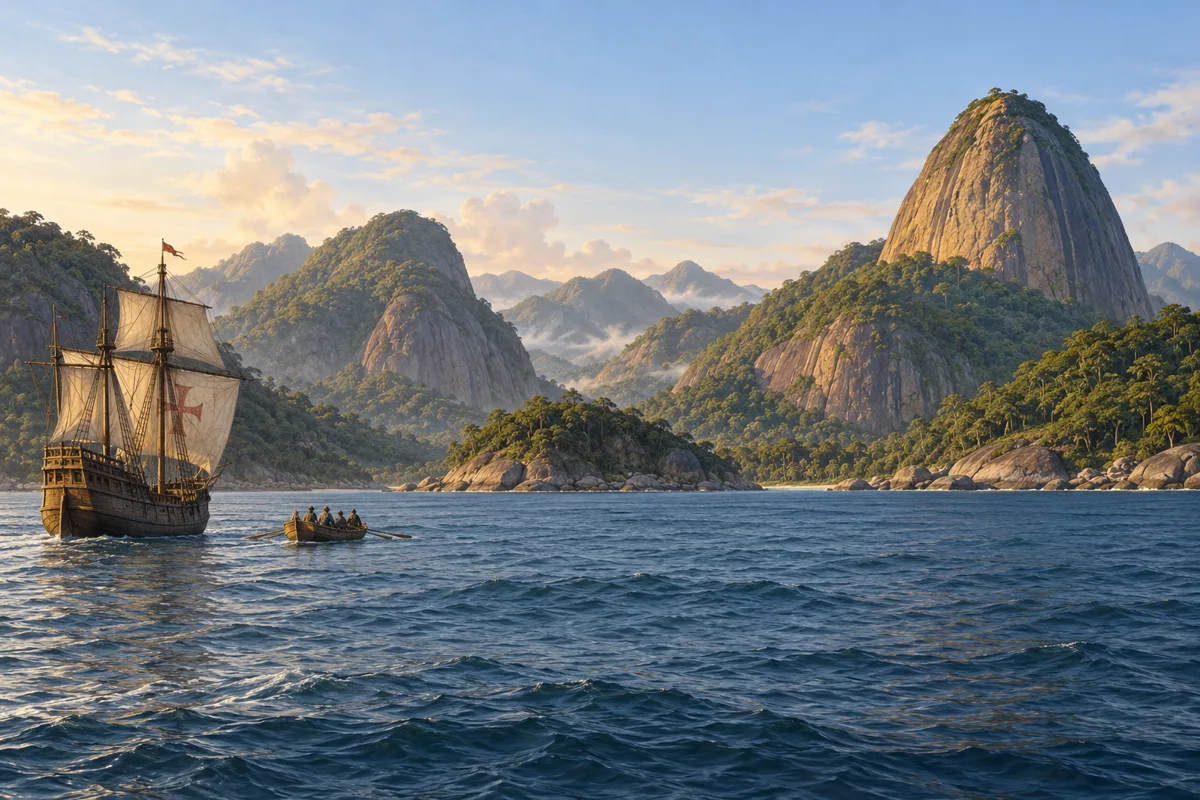
Ahead and around the ships lie bays, headlands and a coastline continuing south. The Guanabara Bay region will much later contain the city of Rio de Janeiro; it is no European city in Vespucci’s time. Farther south, familiar northern stars disappear from view. Vespucci writes of bright southern stars and attempts to record their movements. These observations give the journey another dimension: the heavens, as well as the shoreline, challenge habits formed in Europe. How far south the expedition actually sailed remains disputed.
Historical dates and route context
The two better-documented expeditions of 1499–1500 and 1501–1502 reuse Histlas’s shared Exploration routes. Fleet branches are simplified; the first route is not a complete individual ship track. Most intermediate days and corridors are editorial reconstructions. The southern limit of the Portuguese voyage and its homeward course remain disputed; the offshore southern point does not establish a visit to the Río de la Plata or Patagonia. No animated route is asserted for the disputed 1497–1498 or 1503–1504 voyages. Modern country boundaries do not imply contemporary sovereignty.
AI-generated illustrative reconstruction for Histlas, 2026. People, vessels and settings are representative, not eyewitness records or verified likenesses.
Vespucci’s writings describe a remarkable southward reach, but their latitudes, distances and dates do not fit neatly together. Historians disagree about the voyage’s southern limit. An account of travel is evidence to examine, rather than an exact track to accept without question. What remains clear is his attention to the southern sky and to lands extending beyond the old European picture of Asia. Now the task is to return across the South Atlantic, carrying observations whose interpretation is still developing.
Historical dates and route context
The two better-documented expeditions of 1499–1500 and 1501–1502 reuse Histlas’s shared Exploration routes. Fleet branches are simplified; the first route is not a complete individual ship track. Most intermediate days and corridors are editorial reconstructions. The southern limit of the Portuguese voyage and its homeward course remain disputed; the offshore southern point does not establish a visit to the Río de la Plata or Patagonia. No animated route is asserted for the disputed 1497–1498 or 1503–1504 voyages. Modern country boundaries do not imply contemporary sovereignty.
AI-generated illustrative reconstruction for Histlas, 2026. People, vessels and settings are representative, not eyewitness records or verified likenesses. Existing Histlas reconstruction reused as period context.
The reconstructed return passes the West African coast before turning north towards Lisbon. Vespucci arrives back in Portugal in September fifteen hundred and two. His journey is about to acquire a second life on paper. Observations made at sea will pass through letters, translation, editing and print before most readers encounter them. Those readers cannot question a distant coastline for themselves. They must decide which reports to trust, and how the unfamiliar lands fit into the world they thought they knew.
Historical dates and route context
The two better-documented expeditions of 1499–1500 and 1501–1502 reuse Histlas’s shared Exploration routes. Fleet branches are simplified; the first route is not a complete individual ship track. Most intermediate days and corridors are editorial reconstructions. The southern limit of the Portuguese voyage and its homeward course remain disputed; the offshore southern point does not establish a visit to the Río de la Plata or Patagonia. No animated route is asserted for the disputed 1497–1498 or 1503–1504 voyages. Modern country boundaries do not imply contemporary sovereignty.
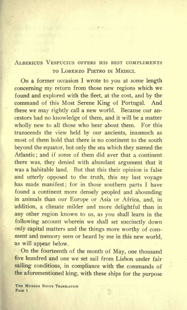
Mundus Novus, English translation by George Tyler Northup, 1916; scan reproduced by Encyclopedia Virginia. Public-domain translation of the early printed account, not the original Italian letter.
A short account addressed to Lorenzo di Pierfrancesco de’ Medici circulates under Vespucci’s name. Its Latin title, Mundus Novus, means New World. Editions and translations carry its descriptions through European printing centres. The text argues that the southern lands are a continent unknown to ancient European writers. Yet scholars question how closely its dramatic passages preserve Vespucci’s own words. Its influence is certain even where its testimony is uncertain. A persuasive printed account can travel farther than the voyager who inspired it.
Historical dates and route context
The two better-documented expeditions of 1499–1500 and 1501–1502 reuse Histlas’s shared Exploration routes. Fleet branches are simplified; the first route is not a complete individual ship track. Most intermediate days and corridors are editorial reconstructions. The southern limit of the Portuguese voyage and its homeward course remain disputed; the offshore southern point does not establish a visit to the Río de la Plata or Patagonia. No animated route is asserted for the disputed 1497–1498 or 1503–1504 voyages. Modern country boundaries do not imply contemporary sovereignty.
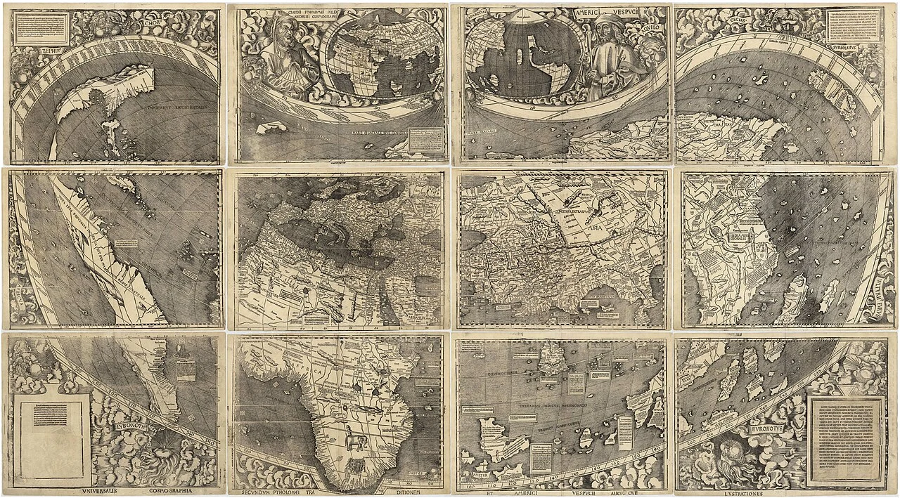
Martin Waldseemüller, 1507 world map. Library of Congress, Geography and Map Division; public domain. Complete map reproduction via Wikimedia Commons.
In fifteen hundred and seven, far from the Atlantic, a group of scholars at Saint-Dié publishes a new world map and an accompanying book. Martin Waldseemüller and Matthias Ringmann draw on the accounts associated with Vespucci. The map places the name America on South America, using a feminine form of Amerigo’s Latinized name. It portrays the western lands separately from Asia. The naming happens in a workshop of scholarship and print, not during a ceremony by Vespucci on an American shore.
Historical dates and route context
The two better-documented expeditions of 1499–1500 and 1501–1502 reuse Histlas’s shared Exploration routes. Fleet branches are simplified; the first route is not a complete individual ship track. Most intermediate days and corridors are editorial reconstructions. The southern limit of the Portuguese voyage and its homeward course remain disputed; the offshore southern point does not establish a visit to the Río de la Plata or Patagonia. No animated route is asserted for the disputed 1497–1498 or 1503–1504 voyages. Modern country boundaries do not imply contemporary sovereignty.
AI-generated illustrative reconstruction for Histlas, 2026. People, vessels and settings are representative, not eyewitness records or verified likenesses. Existing Histlas reconstruction reused as period context.
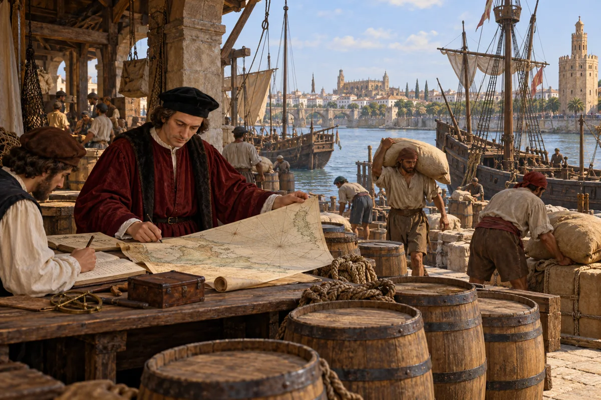
Vespucci’s final work is less spectacular than an ocean crossing, but deeply practical. Appointed Spain’s chief pilot in fifteen hundred and eight, he helps train and examine navigators and bring geographical knowledge together for the royal master chart. Experience must become something another pilot can learn and use. Charts, instruments and instruction connect one voyage to the next. In Seville, the merchant who went to sea now works on the system that will send other sailors across the Atlantic.
Historical dates and route context
The two better-documented expeditions of 1499–1500 and 1501–1502 reuse Histlas’s shared Exploration routes. Fleet branches are simplified; the first route is not a complete individual ship track. Most intermediate days and corridors are editorial reconstructions. The southern limit of the Portuguese voyage and its homeward course remain disputed; the offshore southern point does not establish a visit to the Río de la Plata or Patagonia. No animated route is asserted for the disputed 1497–1498 or 1503–1504 voyages. Modern country boundaries do not imply contemporary sovereignty.
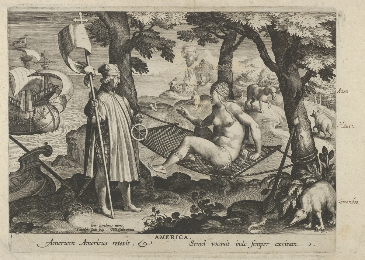
Theodoor Galle after Stradanus, Allegory of America, ca. 1600, The Metropolitan Museum of Art, 34.30(2). Public domain / Open Access. A later European colonial allegory containing stereotypes, not a documentary view of an encounter.
Amerigo Vespucci dies in Seville in fifteen hundred and twelve. His name has already crossed from a traveller’s account into the language of maps. That legacy should not erase the peoples who knew these lands long before European arrivals, or the violence that accompanied expansion. Vespucci’s story is also a story about knowledge: how observation becomes writing, how writing becomes a map, and how a map can shape the words later generations use for the world.
Historical dates and route context
The two better-documented expeditions of 1499–1500 and 1501–1502 reuse Histlas’s shared Exploration routes. Fleet branches are simplified; the first route is not a complete individual ship track. Most intermediate days and corridors are editorial reconstructions. The southern limit of the Portuguese voyage and its homeward course remain disputed; the offshore southern point does not establish a visit to the Río de la Plata or Patagonia. No animated route is asserted for the disputed 1497–1498 or 1503–1504 voyages. Modern country boundaries do not imply contemporary sovereignty.