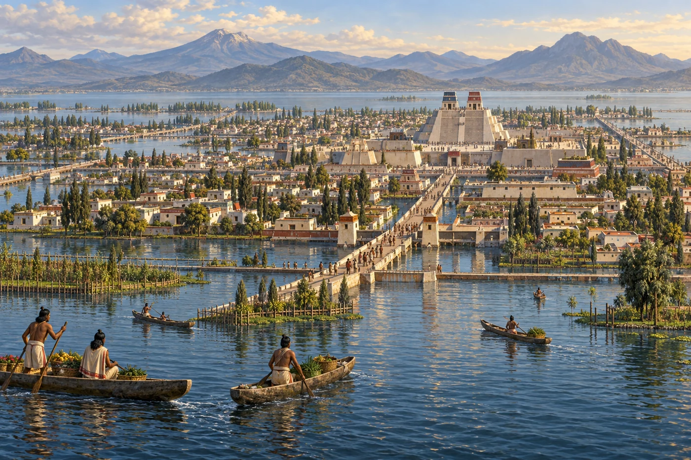
AI-generated historical reconstruction. Illustrative panorama of Tenochtitlan, its lake, causeways and canoes around AD 1500. People, buildings and details are imagined; this is not a verified site reconstruction or eyewitness record.
The Aztecs are best known through the Mexica people of Tenochtitlan, a city built among the lakes of central Mexico. From modest beginnings, its rulers help create a powerful alliance, supported by farming, trade and tribute. Their history is also the story of neighbours, rivals and ordinary people who make a difficult landscape productive. We will follow the rise of the lake city, its conquest, and the Indigenous histories that continue today.
Historical dates and route context
A thematic history of Mexica society and the Triple Alliance, not a reconstructed expedition. Dates for foundation and thematic scenes are conventional or editorial anchors; only explicitly identified events use historical day-level dates. Modern borders and terrain do not reconstruct the former lakes. Territory polygons are schematic political/tribute footprints, not uniform direct rule or ethnic boundaries. AI-generated reconstructions are labelled and are not archival evidence. No empire-wide population total is asserted.
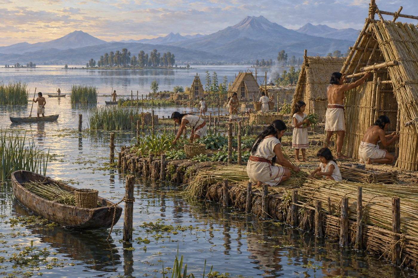
AI-generated historical reconstruction. Illustrative modest Mexica island settlement around the conventional foundation period of AD 1325. People, buildings and details are imagined; this is not a verified site reconstruction or eyewitness record.
Mexica accounts remember migration from Aztlan and the sign of an eagle on a cactus. These are meaningful foundation traditions; the location of Aztlan remains disputed. Thirteen twenty-five is the conventional foundation year of Tenochtitlan. The surrounding basin is already inhabited, and the newcomers live within the power of other city-states. Over generations, people reclaim land, maintain canals and connect their settlement with the shores. Water brings food and transport, but building a city here requires continuous work. A small island settlement becomes the centre of a much larger urban world.
Historical dates and route context
A thematic history of Mexica society and the Triple Alliance, not a reconstructed expedition. Dates for foundation and thematic scenes are conventional or editorial anchors; only explicitly identified events use historical day-level dates. Modern borders and terrain do not reconstruct the former lakes. Territory polygons are schematic political/tribute footprints, not uniform direct rule or ethnic boundaries. AI-generated reconstructions are labelled and are not archival evidence. No empire-wide population total is asserted.
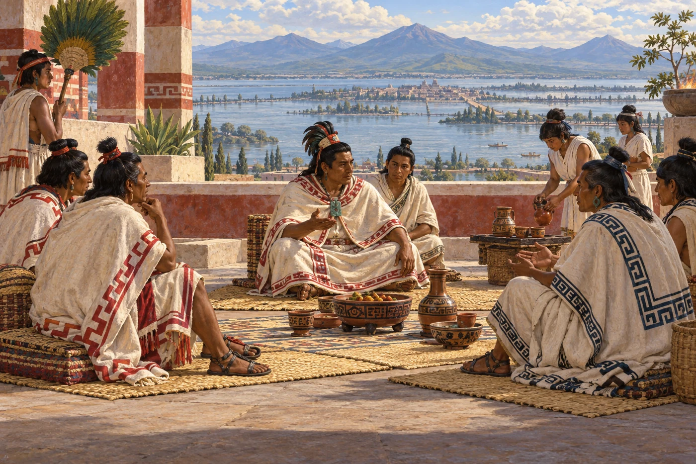
AI-generated historical reconstruction. Imagined anonymous envoys of the Triple Alliance meeting around AD 1428. People, buildings and details are imagined; this is not a verified site reconstruction or eyewitness record.
In the late fourteen twenties, Tenochtitlan, Texcoco and Tlacopan overcome the power of Azcapotzalco and form the Triple Alliance. These partners have their own rulers and histories. Tenochtitlan gradually becomes the strongest. Over the following decades, warfare and negotiation extend obligations of tribute across many communities. Goods and labour flow towards the dominant centres, while subject rulers often remain in place. This is a network of unequal relationships, with resistance and independent neighbours. It is not one people occupying an empty country. The wealth of the capital rests on the work of many societies.
Historical dates and route context
A thematic history of Mexica society and the Triple Alliance, not a reconstructed expedition. Dates for foundation and thematic scenes are conventional or editorial anchors; only explicitly identified events use historical day-level dates. Modern borders and terrain do not reconstruct the former lakes. Territory polygons are schematic political/tribute footprints, not uniform direct rule or ethnic boundaries. AI-generated reconstructions are labelled and are not archival evidence. No empire-wide population total is asserted.
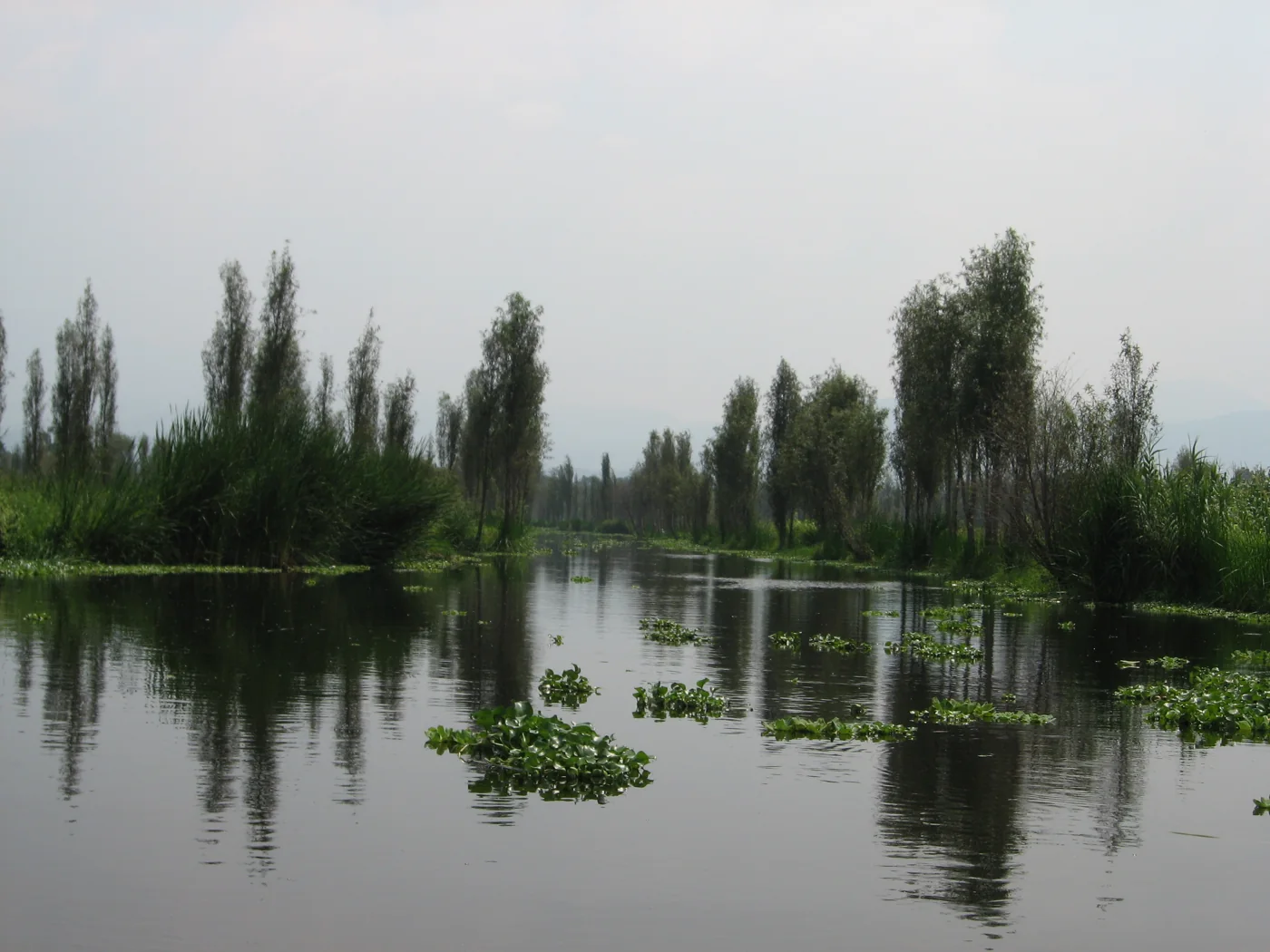
Modern photograph. A modern Xochimilco canal in the surviving chinampa landscape; this is not a photograph of fifteenth-century farming. Photo: Gael Simon / Wikimedia Commons · CC BY-SA 3.0. Resized and converted to WebP.
The life of the city depends on food arriving reliably. In the southern lakes, farmers cultivate chinampas: raised plots built with sediments and organic material and separated by canals. They are worked land, not rafts drifting on the water. Around Xochimilco, this landscape supports intensive cultivation and movement by canoe. Meals give that work a familiar shape: maize becomes tortillas and warm atole, a maize drink, eaten alongside beans and chilli. Squash, tomatoes and seasonal greens add variety. What reaches a household depends on the season and its resources. The capital draws on a wider food system as well as these productive plots. Behind the temples stand farmers, cooks and boat handlers, sustaining the city through daily work.
Historical dates and route context
A thematic history of Mexica society and the Triple Alliance, not a reconstructed expedition. Dates for foundation and thematic scenes are conventional or editorial anchors; only explicitly identified events use historical day-level dates. Modern borders and terrain do not reconstruct the former lakes. Territory polygons are schematic political/tribute footprints, not uniform direct rule or ethnic boundaries. AI-generated reconstructions are labelled and are not archival evidence. No empire-wide population total is asserted.
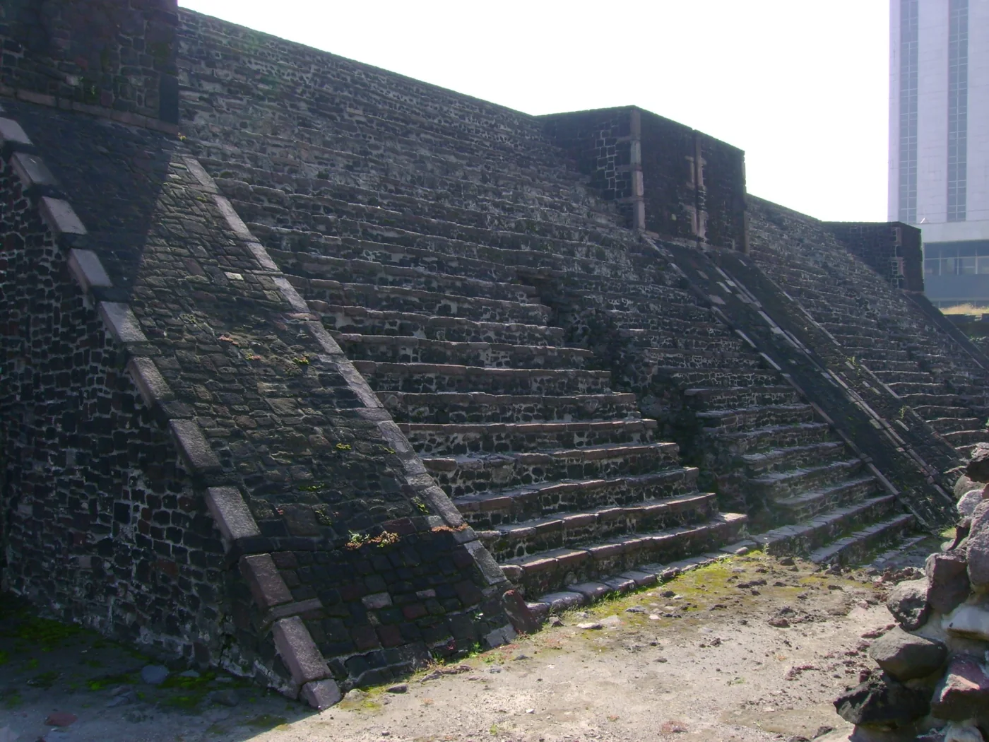
Modern photograph. The main temple remains at Tlatelolco today; the photograph does not reconstruct the market described in the narration. Photo: Nuno Tavares / Wikimedia Commons · CC BY-SA 2.5. Resized and converted to WebP.
At Tlatelolco, a neighbouring Mexica centre, the market brings together food, cloth and crafted goods from a connected world. Canoes carry supplies through the lakes. Clothing reveals differences in wealth and rank. Men wear a loincloth and a rectangular mantle tied at the shoulder; women wear skirts, often with a loose blouse called a huipil. Commoners use coarse maguey-fibre cloth, while fine cotton and elaborate decoration signal privilege. Spinning and weaving turn plant fibres into both necessities and valuable goods. Tlatelolco has its own history: Tenochtitlan defeats it in fourteen seventy-three. Trade and imperial power become closely linked, yet farmers, traders and skilled workers each have their own part in sustaining urban life.
Historical dates and route context
A thematic history of Mexica society and the Triple Alliance, not a reconstructed expedition. Dates for foundation and thematic scenes are conventional or editorial anchors; only explicitly identified events use historical day-level dates. Modern borders and terrain do not reconstruct the former lakes. Territory polygons are schematic political/tribute footprints, not uniform direct rule or ethnic boundaries. AI-generated reconstructions are labelled and are not archival evidence. No empire-wide population total is asserted.
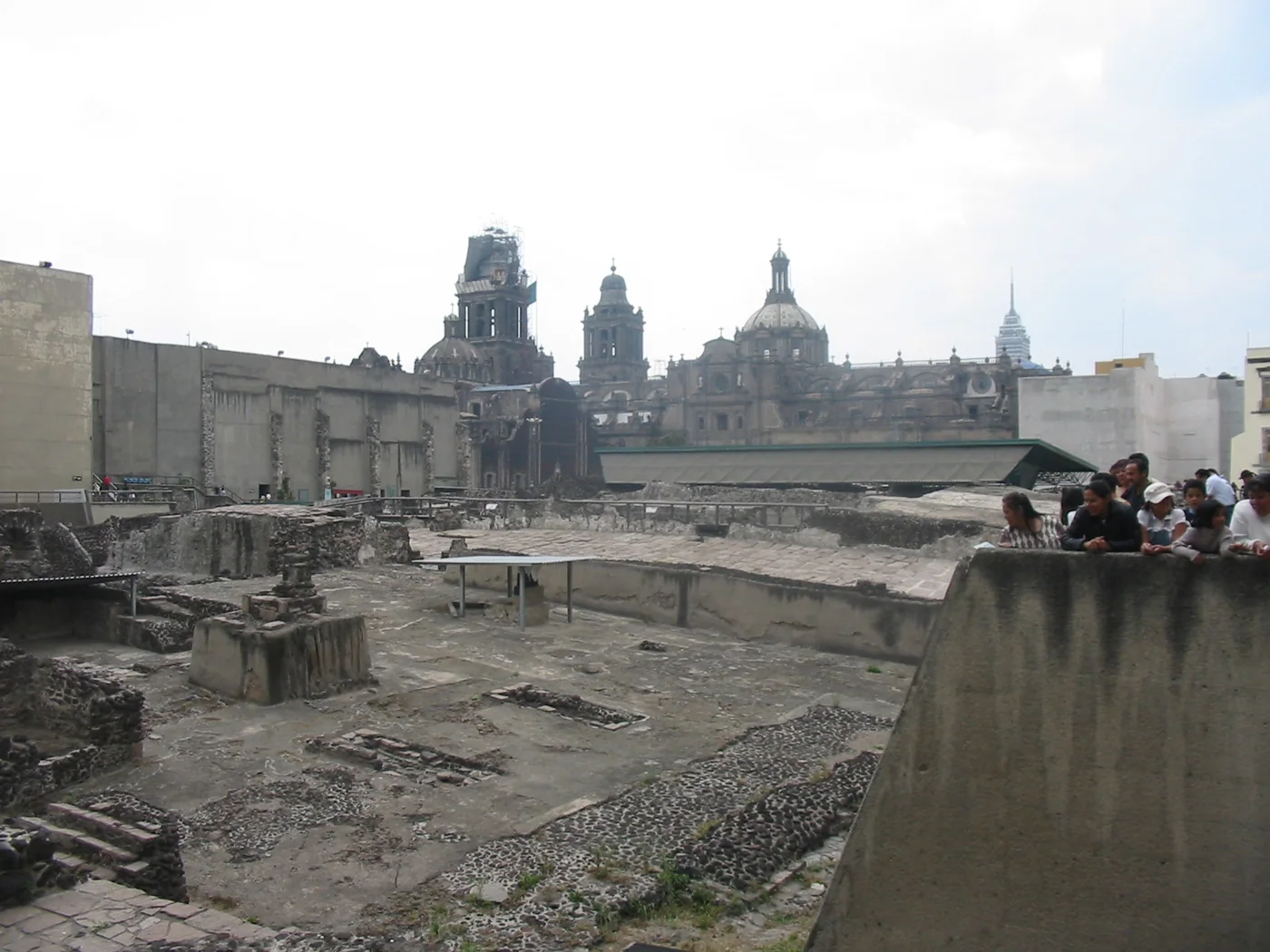
Modern photograph. Templo Mayor excavations in modern Mexico City, with the later cathedral behind. Photo: Thelmadatter / Wikimedia Commons · Public domain. Resized and converted to WebP.
At the centre of Tenochtitlan stands the Templo Mayor. Its twin shrines honour Tlaloc and Huitzilopochtli, linking rain and agriculture with the Mexica patron deity and war. Offerings and rituals, including human sacrifice, belong to a religious and political order whose material traces archaeologists still study. In November fifteen nineteen, Moctezuma meets Hernan Cortes. The Spanish arrive in a landscape of existing rivalries and alliances. Tlaxcalan and other Indigenous actors pursue their own aims. The encounter opens a struggle whose outcome cannot be explained by a few Europeans acting alone.
Historical dates and route context
A thematic history of Mexica society and the Triple Alliance, not a reconstructed expedition. Dates for foundation and thematic scenes are conventional or editorial anchors; only explicitly identified events use historical day-level dates. Modern borders and terrain do not reconstruct the former lakes. Territory polygons are schematic political/tribute footprints, not uniform direct rule or ethnic boundaries. AI-generated reconstructions are labelled and are not archival evidence. No empire-wide population total is asserted.
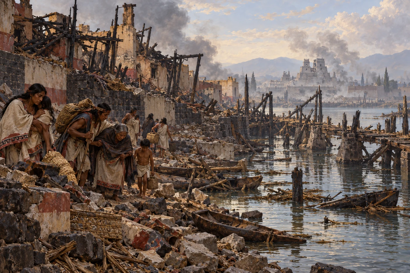
AI-generated historical reconstruction. Illustrative reconstruction of damaged canals and survivors after the 1521 siege. Imagined illustrative composition, not an archival photograph or eyewitness record.
After violence and a Spanish retreat in fifteen twenty, the attackers return with Indigenous allies. Smallpox has already struck the city. During the siege, boats and fighting along the causeways disrupt movement and supplies. The people defending Tenochtitlan and Tlatelolco face hunger, thirst and military pressure. On the thirteenth of August, fifteen twenty-one, Cuauhtemoc is captured and organized resistance in the city ends. The victors build a colonial capital over the devastated centre. This defeat ends the Mexica-led imperial order, but Indigenous communities, resistance and histories continue under the pressures of colonial rule.
Historical dates and route context
A thematic history of Mexica society and the Triple Alliance, not a reconstructed expedition. Dates for foundation and thematic scenes are conventional or editorial anchors; only explicitly identified events use historical day-level dates. Modern borders and terrain do not reconstruct the former lakes. Territory polygons are schematic political/tribute footprints, not uniform direct rule or ethnic boundaries. AI-generated reconstructions are labelled and are not archival evidence. No empire-wide population total is asserted.
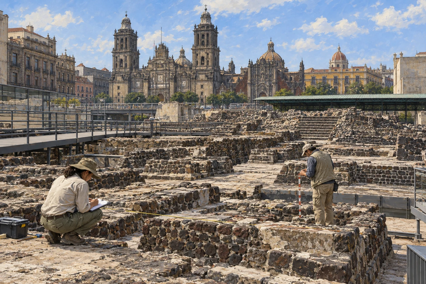
AI-generated modern archaeological illustration. Modern illustrative view of Templo Mayor archaeology within Mexico City. Imagined illustrative composition, not an archival photograph or eyewitness record.
In modern Mexico City, archaeology makes parts of the older sacred centre visible again. Excavations at Templo Mayor reveal building phases and offerings beneath the later metropolis. The former lake landscape has changed profoundly, while Xochimilco preserves canals, fields and continuing agricultural knowledge. Nahua communities and varieties of Nahuatl remain part of living Mexico. Neither ruins nor the fall of an empire contain their whole history. The places we have visited belong together through water, labour, belief and power: an island settlement, allied cities, productive fields and a capital whose legacy is still being interpreted.
Historical dates and route context
A thematic history of Mexica society and the Triple Alliance, not a reconstructed expedition. Dates for foundation and thematic scenes are conventional or editorial anchors; only explicitly identified events use historical day-level dates. Modern borders and terrain do not reconstruct the former lakes. Territory polygons are schematic political/tribute footprints, not uniform direct rule or ethnic boundaries. AI-generated reconstructions are labelled and are not archival evidence. No empire-wide population total is asserted.